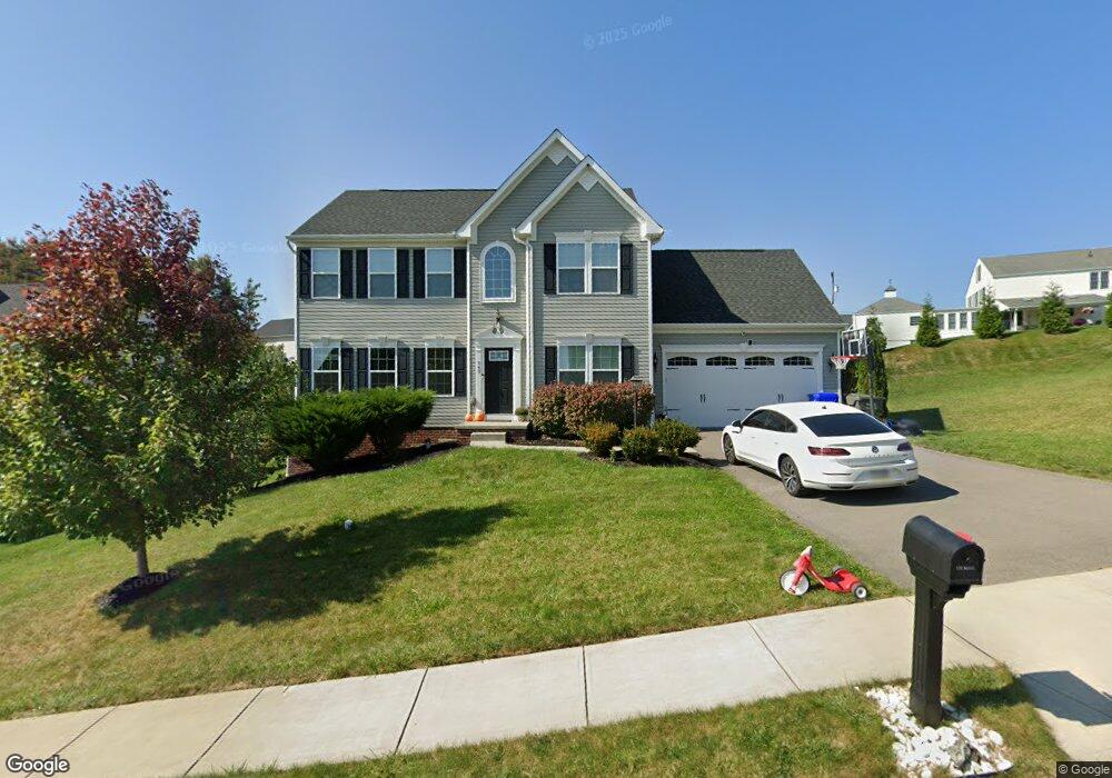
747 Packsaddle Trail Gibsonia, PA 15044
Estimated Value: $570,391 - $593,000
4
Beds
3
Baths
2,276
Sq Ft
$254/Sq Ft
Est. Value
About This Home
This home is located at 747 Packsaddle Trail, Gibsonia, PA 15044 and is currently estimated at $579,098, approximately $254 per square foot. 747 Packsaddle Trail is a home with nearby schools including Richland Elementary School, Eden Hall Upper Elementary, and Pine-Richland Middle School.
Ownership History
Date
Name
Owned For
Owner Type
Purchase Details
Closed on
Sep 8, 2016
Sold by
N V R Inc
Bought by
Malik Rima and Qumar Sohail
Current Estimated Value
Home Financials for this Owner
Home Financials are based on the most recent Mortgage that was taken out on this home.
Original Mortgage
$340,480
Outstanding Balance
$272,399
Interest Rate
3.48%
Mortgage Type
New Conventional
Estimated Equity
$306,699
Purchase Details
Closed on
May 19, 2016
Sold by
Marathon Partners L P
Bought by
N V R Inc
Create a Home Valuation Report for This Property
The Home Valuation Report is an in-depth analysis detailing your home's value as well as a comparison with similar homes in the area
Home Values in the Area
Average Home Value in this Area
Purchase History
| Date | Buyer | Sale Price | Title Company |
|---|---|---|---|
| Malik Rima | $358,405 | None Available | |
| N V R Inc | $81,000 | None Available |
Source: Public Records
Mortgage History
| Date | Status | Borrower | Loan Amount |
|---|---|---|---|
| Open | Malik Rima | $340,480 |
Source: Public Records
Tax History Compared to Growth
Tax History
| Year | Tax Paid | Tax Assessment Tax Assessment Total Assessment is a certain percentage of the fair market value that is determined by local assessors to be the total taxable value of land and additions on the property. | Land | Improvement |
|---|---|---|---|---|
| 2025 | $8,669 | $321,000 | $55,300 | $265,700 |
| 2024 | $8,669 | $321,000 | $55,300 | $265,700 |
| 2023 | $8,669 | $321,000 | $55,300 | $265,700 |
| 2022 | $8,669 | $321,000 | $55,300 | $265,700 |
| 2021 | $8,340 | $314,600 | $55,300 | $259,300 |
| 2020 | $8,342 | $314,600 | $55,300 | $259,300 |
| 2019 | $8,342 | $314,600 | $55,300 | $259,300 |
| 2018 | $8,342 | $314,600 | $55,300 | $259,300 |
| 2017 | $8,223 | $314,600 | $55,300 | $259,300 |
| 2016 | $5 | $1,100 | $1,100 | $0 |
Source: Public Records
Map
Nearby Homes
- 404 Minglewood Dr
- 251 Estates Dr
- 106 Maple Dr
- 132 Bellefield Ct
- 121 Bellefield Ct
- 211 Central Dr
- 113 Bellefield Ct
- 503 Kyle Ct
- 1043 van Velsor Dr
- 0 Legion Dr
- 5910 Heckert Rd
- 632 Sandy Hill Rd
- 146 Tanglewood Dr
- 1042 Beacon Hill Rd
- 6076 William Flinn Hwy
- 1010 Blackhawk Dr
- 3003 Humbolt Place
- 391 Browns Hill Rd
- 3901 Bakerstown Rd
- 375 Browns Hill Rd
- 745 Packsaddle Trail
- 3700 Sandy Hill Rd
- 748 Packsaddle Trail
- 3694 Sandy Hill Rd
- 746 Packsaddle Trail
- 750 Packsaddle Trail
- 3688 Sandy Hill Rd
- 752 Packsaddle Trail
- 744 Packsaddle Trail
- 754 Packsaddle Trail
- 3682 Sandy Hill Rd
- 741 Packsaddle Trail
- 3685 Sandy Hill Rd
- 3679 Sandy Hill Rd
- 3691 Sandy Hill Rd
- 00 Sandy Hill Rd
- 3697 Sandy Hill Rd
- 739 Packsaddle Trail
- 3673 Sandy Hill Rd
- 737 Packsaddle Trail