747 Steele Rd Griffin, GA 30223
Spalding County NeighborhoodEstimated Value: $165,000 - $278,000
3
Beds
2
Baths
1,654
Sq Ft
$141/Sq Ft
Est. Value
About This Home
This home is located at 747 Steele Rd, Griffin, GA 30223 and is currently estimated at $232,557, approximately $140 per square foot. 747 Steele Rd is a home located in Spalding County with nearby schools including Beaverbrook Elementary School, Cowan Road Middle School, and Griffin High School.
Ownership History
Date
Name
Owned For
Owner Type
Purchase Details
Closed on
Jan 10, 2022
Sold by
Edwards Mary B
Bought by
Pearl Kathy E and Stokes Sarra C
Current Estimated Value
Purchase Details
Closed on
Feb 22, 2019
Sold by
Edwards Fred F
Bought by
Edwards Fred F and Edwards Mary B
Purchase Details
Closed on
Feb 24, 1972
Bought by
Edwards Fred F and Edwards Mary B
Purchase Details
Closed on
Aug 6, 1971
Sold by
Edwards Fred F and Edwards Hattie
Bought by
Edwards Fred F and Edwards Mary B
Create a Home Valuation Report for This Property
The Home Valuation Report is an in-depth analysis detailing your home's value as well as a comparison with similar homes in the area
Home Values in the Area
Average Home Value in this Area
Purchase History
| Date | Buyer | Sale Price | Title Company |
|---|---|---|---|
| Pearl Kathy E | $111,847 | -- | |
| Edwards Fred F | -- | -- | |
| Edwards Fred F | -- | -- | |
| Edwards Fred F | -- | -- |
Source: Public Records
Tax History
| Year | Tax Paid | Tax Assessment Tax Assessment Total Assessment is a certain percentage of the fair market value that is determined by local assessors to be the total taxable value of land and additions on the property. | Land | Improvement |
|---|---|---|---|---|
| 2025 | $1,321 | $67,464 | $18,314 | $49,150 |
| 2024 | $1,321 | $67,464 | $18,314 | $49,150 |
| 2023 | $1,321 | $67,464 | $18,314 | $49,150 |
| 2022 | $1,000 | $48,973 | $14,390 | $34,583 |
| 2021 | $909 | $44,739 | $14,390 | $30,349 |
| 2020 | $923 | $44,739 | $14,390 | $30,349 |
| 2019 | $940 | $44,739 | $14,390 | $30,349 |
| 2018 | $896 | $41,972 | $14,390 | $27,582 |
| 2017 | $861 | $41,972 | $14,390 | $27,582 |
| 2016 | $875 | $41,972 | $14,390 | $27,582 |
| 2015 | $911 | $41,972 | $14,390 | $27,582 |
| 2014 | $920 | $41,972 | $14,390 | $27,582 |
Source: Public Records
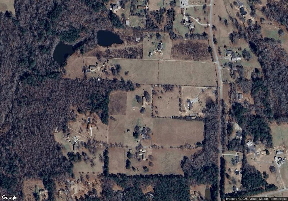
Map
Nearby Homes
- 906 Steele Rd
- 214 Patriots Way
- 1100 Stiles Crossing Unit 41
- 1102 Stiles Crossing Unit 42
- 0 Deason St Unit 23730
- 0 Deason St Unit 10624935
- 265 Steele Rd
- 180 Davidson Dr
- 951 Elder Rd
- 1574 Vineyard Rd
- 0 Elder Rd Unit 25075151
- 0 Elder Rd Unit 10619475
- 306 Field Rd
- 0 Steele Rd Unit 10680484
- 1057 Vineyard Rd
- 1055 Vineyard Rd
- 1053 Vineyard Rd
- 1051 Vineyard Rd
- 225 Vineyard Ridge Dr
- 1156 Burgundy Dr
- 721 Steele Rd
- 739 Steele Rd
- 695 Steele Rd
- 811 Steele Rd Unit A
- 811 Steele Rd
- 811A Steele Rd
- 959 Steele Rd
- 42 Roy Norris Dr
- 750 Steele Rd
- 34 Roy Norris Dr
- 722 Steele Rd
- 820 Steele Rd
- 820 Steele Rd Unit 820&822
- 975 Steele Rd
- 804 Steele Rd
- 44 Roy Norris Dr Unit 5
- 44 Roy Norris Dr
- 631 Steele Rd
- 700 Steele Rd
- 855 Steele Rd
Your Personal Tour Guide
Ask me questions while you tour the home.