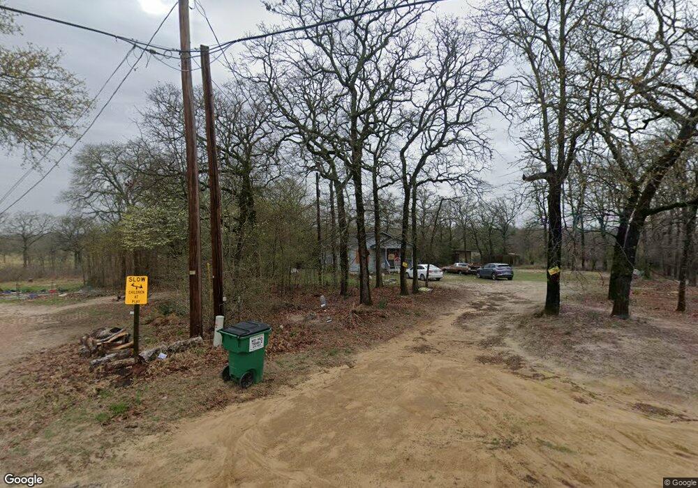
7476 Land Grant Trail Athens, TX 75751
Estimated Value: $147,892 - $241,000
--
Bed
--
Bath
1,024
Sq Ft
$191/Sq Ft
Est. Value
About This Home
This home is located at 7476 Land Grant Trail, Athens, TX 75751 and is currently estimated at $195,723, approximately $191 per square foot. 7476 Land Grant Trail is a home located in Henderson County with nearby schools including Cross Roads J High School and Cross Roads High School.
Ownership History
Date
Name
Owned For
Owner Type
Purchase Details
Closed on
Nov 12, 2007
Sold by
Pinkert Stacy and Matthews Stacy
Bought by
Matthews Stacy
Current Estimated Value
Purchase Details
Closed on
May 22, 1998
Sold by
Ladd Richard and Ladd Martha
Bought by
Matthews Stacy
Purchase Details
Closed on
May 1, 1998
Sold by
Martha D Ladd
Bought by
Matthews Stacy
Purchase Details
Closed on
Nov 21, 1981
Sold by
Mcglaun Shirley and Tacy Pinkert
Bought by
Matthews Stacy
Create a Home Valuation Report for This Property
The Home Valuation Report is an in-depth analysis detailing your home's value as well as a comparison with similar homes in the area
Home Values in the Area
Average Home Value in this Area
Purchase History
| Date | Buyer | Sale Price | Title Company |
|---|---|---|---|
| Matthews Stacy | -- | None Available | |
| Pinkert Stacy | -- | None Available | |
| Matthews Stacy | -- | -- | |
| Matthews Stacy | -- | -- | |
| Matthews Stacy | -- | -- |
Source: Public Records
Tax History Compared to Growth
Tax History
| Year | Tax Paid | Tax Assessment Tax Assessment Total Assessment is a certain percentage of the fair market value that is determined by local assessors to be the total taxable value of land and additions on the property. | Land | Improvement |
|---|---|---|---|---|
| 2025 | $626 | $117,921 | $5,101 | $112,820 |
| 2024 | $626 | $111,227 | $5,101 | $112,820 |
| 2023 | $1,426 | $101,115 | $5,101 | $96,014 |
| 2022 | $2,873 | $108,970 | $28,950 | $80,020 |
| 2021 | $1,702 | $93,980 | $28,950 | $65,030 |
| 2020 | $1,262 | $92,080 | $28,950 | $63,130 |
| 2019 | $1,487 | $77,470 | $28,950 | $48,520 |
| 2018 | $1,508 | $80,450 | $28,950 | $51,500 |
| 2017 | $1,489 | $79,440 | $28,950 | $50,490 |
| 2016 | $1,489 | $79,440 | $28,950 | $50,490 |
| 2015 | $1,108 | $79,440 | $28,950 | $50,490 |
| 2014 | $1,227 | $79,440 | $28,950 | $50,490 |
Source: Public Records
Map
Nearby Homes
- 7480 Land Grant Trail
- 7492 Land Grant Trail
- 304 Brentwood Dr
- 306 306 Brentwood Dr
- 300 Brentwood Dr
- 7436 Land Grant Trail
- 7518 Land Grant Trail
- 308 Brentwood Dr
- 305 Brentwood Dr
- 210 Brentwood Dr
- 7552 Land Grant Trail
- 307 Brentwood Dr
- 310 Brentwood Dr
- 301 Brentwood Dr
- 309 Brentwood Dr
- 7572 Buggy Hub Trail
- 208 Brentwood Dr
- 7421 Land Grant Trail
- 312 Brentwood Dr
- 7540 Buggy Hub Trail