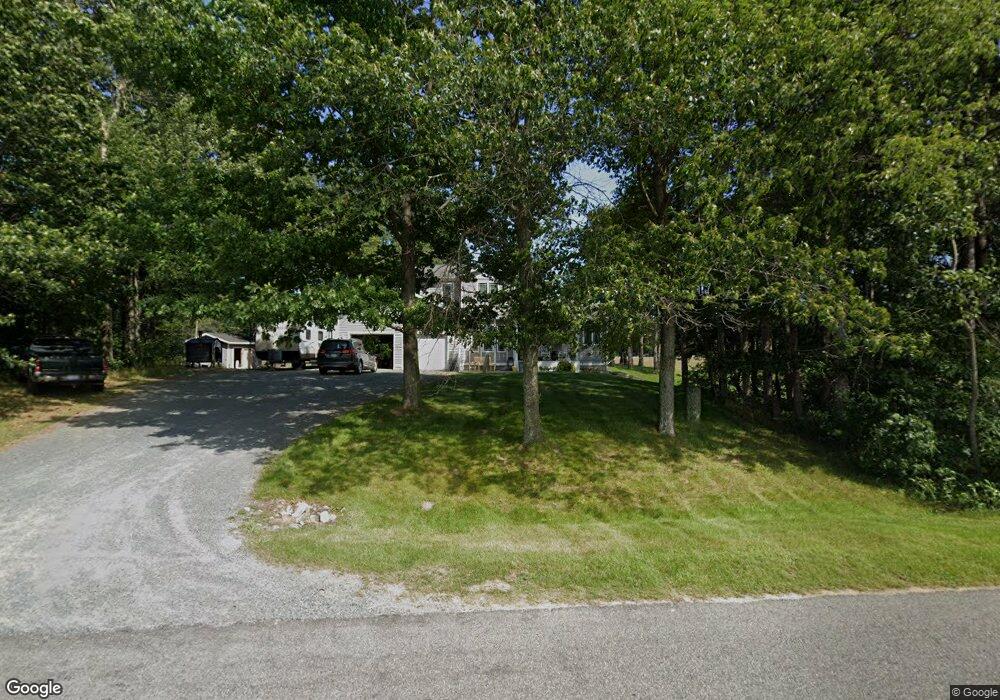
7476 S Brye Rd Pentwater, MI 49449
Estimated Value: $303,558 - $437,000
--
Bed
--
Bath
2,050
Sq Ft
$182/Sq Ft
Est. Value
About This Home
This home is located at 7476 S Brye Rd, Pentwater, MI 49449 and is currently estimated at $373,640, approximately $182 per square foot. 7476 S Brye Rd is a home located in Mason County with nearby schools including Mason County Central Upper Elementary School, Scottville Elementary School, and Mason County Central Middle School.
Ownership History
Date
Name
Owned For
Owner Type
Purchase Details
Closed on
Sep 22, 2005
Sold by
Gregwer Gregory C and Gregwer Eva T
Bought by
Macher David W and Macher Lucy J
Current Estimated Value
Home Financials for this Owner
Home Financials are based on the most recent Mortgage that was taken out on this home.
Original Mortgage
$152,800
Outstanding Balance
$81,234
Interest Rate
5.75%
Mortgage Type
Adjustable Rate Mortgage/ARM
Estimated Equity
$292,406
Create a Home Valuation Report for This Property
The Home Valuation Report is an in-depth analysis detailing your home's value as well as a comparison with similar homes in the area
Home Values in the Area
Average Home Value in this Area
Purchase History
| Date | Buyer | Sale Price | Title Company |
|---|---|---|---|
| Macher David W | -- | None Available |
Source: Public Records
Mortgage History
| Date | Status | Borrower | Loan Amount |
|---|---|---|---|
| Open | Macher David W | $152,800 |
Source: Public Records
Tax History Compared to Growth
Tax History
| Year | Tax Paid | Tax Assessment Tax Assessment Total Assessment is a certain percentage of the fair market value that is determined by local assessors to be the total taxable value of land and additions on the property. | Land | Improvement |
|---|---|---|---|---|
| 2025 | $2,486 | $165,800 | $165,800 | $0 |
| 2024 | -- | $181,300 | $181,300 | $0 |
| 2023 | -- | $113,900 | $113,900 | $0 |
| 2022 | -- | $95,400 | $0 | $0 |
| 2021 | -- | $103,900 | $0 | $0 |
| 2020 | -- | -- | $0 | $0 |
| 2019 | -- | -- | $0 | $0 |
| 2018 | -- | -- | $0 | $0 |
| 2017 | -- | -- | $0 | $0 |
| 2016 | -- | -- | $0 | $0 |
| 2015 | -- | -- | $0 | $0 |
| 2013 | -- | -- | $0 | $0 |
Source: Public Records
Map
Nearby Homes
- 7035 S Harbor Dr
- 0 S Harbor Dr Unit 123
- V/L S Harbor Dr Unit Lot 102
- 8716 N 80th Ave
- 7505 S Lakeshore Dr
- 6193 S Pere Marquette Hwy
- V/L Pentwater Blvd
- 5540 W Rutledge Ave
- 0 4 39 Acres Br Us 31
- 0 Lenox Ave
- V/L A Lenox Ave
- VL Lenox Ave
- 5766 S Pere Marquette Hwy
- 5641 S Pere Marquette Hwy
- 0 Avenue D Unit 25031645
- 0 Montgomery Blvd
- 6973 S Lakeshore Dr
- 0 N 56th Ave Unit Parcel A 25010626
- 8641 N Perry Ave
- 7420 N Oceana Dr
- 3902 Washington Rd
- 3902 Washington Rd
- 7344 S Brye Rd
- 3925 Washington Rd
- 3951 Washington Rd
- 3867 Washington Rd
- 3867 Washington Rd
- 4152 Washington Rd
- 3835 Washington Rd
- 3807 Washington Rd
- 3785 Washington Rd
- 0 V/L Washington Rd
- 3742 Washington Rd
- 3767 Washington Rd
- 3696 W Washington Rd
- 3654 Washington Rd
- 3620 Washington Rd
- 3611 Washington Rd
- 3572 Washington Rd
- 9308 72nd Ave