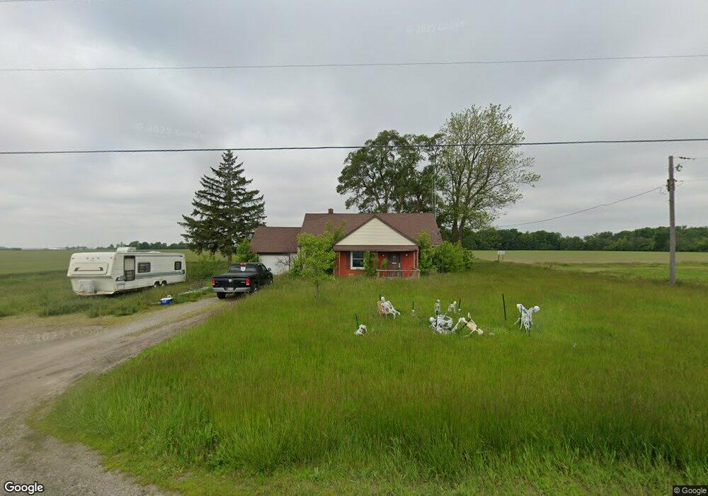
7477 Us Route 127 Paulding, OH 45879
Estimated Value: $130,334 - $208,000
3
Beds
1
Bath
1,776
Sq Ft
$97/Sq Ft
Est. Value
About This Home
This home is located at 7477 Us Route 127, Paulding, OH 45879 and is currently estimated at $172,834, approximately $97 per square foot. 7477 Us Route 127 is a home located in Paulding County with nearby schools including Wayne Trace High School.
Ownership History
Date
Name
Owned For
Owner Type
Purchase Details
Closed on
Jun 18, 2008
Sold by
Lanz And Winans Ltd
Bought by
Zartman Adam R
Current Estimated Value
Home Financials for this Owner
Home Financials are based on the most recent Mortgage that was taken out on this home.
Original Mortgage
$44,800
Outstanding Balance
$28,615
Interest Rate
5.96%
Mortgage Type
New Conventional
Estimated Equity
$144,219
Purchase Details
Closed on
Jun 18, 2001
Sold by
King Theodore C
Bought by
Zartman Adam R
Purchase Details
Closed on
Dec 10, 1991
Bought by
Zartman Adam R
Create a Home Valuation Report for This Property
The Home Valuation Report is an in-depth analysis detailing your home's value as well as a comparison with similar homes in the area
Home Values in the Area
Average Home Value in this Area
Purchase History
| Date | Buyer | Sale Price | Title Company |
|---|---|---|---|
| Zartman Adam R | $44,800 | None Available | |
| Zartman Adam R | $35,000 | -- | |
| Zartman Adam R | $27,000 | -- |
Source: Public Records
Mortgage History
| Date | Status | Borrower | Loan Amount |
|---|---|---|---|
| Open | Zartman Adam R | $44,800 |
Source: Public Records
Tax History Compared to Growth
Tax History
| Year | Tax Paid | Tax Assessment Tax Assessment Total Assessment is a certain percentage of the fair market value that is determined by local assessors to be the total taxable value of land and additions on the property. | Land | Improvement |
|---|---|---|---|---|
| 2024 | $794 | $23,520 | $5,810 | $17,710 |
| 2023 | $794 | $23,520 | $5,810 | $17,710 |
| 2022 | $790 | $23,520 | $5,810 | $17,710 |
| 2021 | $694 | $18,800 | $5,810 | $12,990 |
| 2020 | $718 | $18,800 | $5,810 | $12,990 |
| 2019 | $722 | $17,610 | $5,810 | $11,800 |
| 2018 | $620 | $17,610 | $5,810 | $11,800 |
| 2017 | $620 | $17,610 | $5,810 | $11,800 |
| 2016 | $620 | $17,610 | $5,810 | $11,800 |
| 2015 | $460 | $13,270 | $5,810 | $7,460 |
| 2014 | $466 | $13,270 | $5,810 | $7,460 |
| 2013 | $515 | $13,270 | $5,810 | $7,460 |
Source: Public Records
Map
Nearby Homes
- 225 2nd St
- 12783 Road 82
- 14255 Road 126
- 14830 Road 126
- 750 E Perry St
- 301 S Williams St
- 300 S Williams St
- 720 W Wayne St
- 717 W Harrison St
- 720 W Perry St
- 614 W Jackson St
- 215 N Dewitt St
- 606 Lincoln Ave
- 0 Road 111
- 418 E Baldwin St
- 320 E Baldwin Ave
- 616 N Dix St
- 752 N Dix St
- 0000 Ohio 111
- 1045 Emerald Rd
- 7334 Us Route 127
- 7742 Us Route 127
- 7776 Us Route 127
- 0 St Rt 127 Unit 5031441
- 0 St Rt 127 Unit 5086649
- 0 St Rt 127 Unit 4585168
- 0 St Rt 127 Unit 4624710
- 0 St Rt 127 Unit 4597796
- 0 St Rt 127 Unit 4557085
- 0 St Rt 127 Unit 4610838
- 780 Third
- 325 Second
- 285 2nd St
- 2 Alexander St
- 1 Alexander St
- 0 Alexander St
- 12815 Tr 92
- 325 2nd St
- 340 Second St