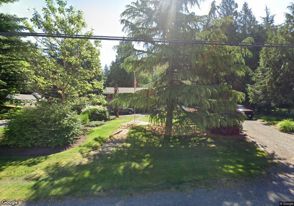
7478 N Enterprise Rd Ferndale, WA 98248
Estimated Value: $722,000 - $843,000
5
Beds
4
Baths
3,778
Sq Ft
$206/Sq Ft
Est. Value
About This Home
This home is located at 7478 N Enterprise Rd, Ferndale, WA 98248 and is currently estimated at $777,503, approximately $205 per square foot. 7478 N Enterprise Rd is a home located in Whatcom County with nearby schools including Custer Elementary School, Horizon Middle School, and Ferndale High School.
Ownership History
Date
Name
Owned For
Owner Type
Purchase Details
Closed on
Nov 15, 2012
Sold by
Neria Holly L and Foster Holly L
Bought by
Neria Holly L and Neria Michael G
Current Estimated Value
Purchase Details
Closed on
Nov 4, 2010
Sold by
Pike Coady E and Foster Holly L
Bought by
Foster Holly L
Purchase Details
Closed on
Apr 3, 2001
Sold by
First Union National Bank
Bought by
Pike Coady and Pike Holly
Home Financials for this Owner
Home Financials are based on the most recent Mortgage that was taken out on this home.
Original Mortgage
$170,050
Outstanding Balance
$63,480
Interest Rate
7.19%
Estimated Equity
$714,023
Purchase Details
Closed on
Sep 29, 2000
Sold by
Cervantes Jaime L and Cervantes Patricia L
Bought by
First Union National Bank
Create a Home Valuation Report for This Property
The Home Valuation Report is an in-depth analysis detailing your home's value as well as a comparison with similar homes in the area
Home Values in the Area
Average Home Value in this Area
Purchase History
| Date | Buyer | Sale Price | Title Company |
|---|---|---|---|
| Neria Holly L | -- | None Available | |
| Foster Holly L | -- | None Available | |
| Pike Coady | $153,859 | Whatcom Land Title | |
| First Union National Bank | $180,625 | Island Title |
Source: Public Records
Mortgage History
| Date | Status | Borrower | Loan Amount |
|---|---|---|---|
| Open | Pike Coady | $170,050 |
Source: Public Records
Tax History Compared to Growth
Tax History
| Year | Tax Paid | Tax Assessment Tax Assessment Total Assessment is a certain percentage of the fair market value that is determined by local assessors to be the total taxable value of land and additions on the property. | Land | Improvement |
|---|---|---|---|---|
| 2024 | $6,042 | $830,651 | $275,529 | $555,122 |
| 2023 | $6,042 | $842,522 | $308,750 | $533,772 |
| 2022 | $5,243 | $721,056 | $225,032 | $496,024 |
| 2021 | $4,893 | $572,261 | $178,595 | $393,666 |
| 2020 | $5,020 | $484,966 | $151,352 | $333,614 |
| 2019 | $4,024 | $449,038 | $140,139 | $308,899 |
| 2018 | $4,736 | $409,020 | $127,650 | $281,370 |
| 2017 | $3,683 | $368,487 | $115,000 | $253,487 |
| 2016 | $3,663 | $302,945 | $99,845 | $203,100 |
| 2015 | $3,541 | $302,945 | $99,845 | $203,100 |
| 2014 | -- | $284,929 | $93,908 | $191,021 |
| 2013 | -- | $278,877 | $91,913 | $186,964 |
Source: Public Records
Map
Nearby Homes
- 7442 Woodland Rd
- 1711 Garden Farms Rd
- 0 2151xx Harksell Rd
- 7181 Enterprise Rd
- 7020 Dahlberg Rd
- 1939 Grandview Rd
- 2070 Grandview Rd
- 2020 Grandview Rd
- 2036 Grandview Rd
- 1273 Vista Cir
- 8065 Lyn Dale Dr
- 6850 Portal Way
- 2265 Grandview Rd
- 7136 Portal Way Unit 18
- 6600 Portal Way
- 1862 Destiny St
- 0 Willeys Lake Rd Unit NWM2442375
- 7939 Lynnwood Dr
- 1942 Trigg Rd Unit 26
- 1942 Trigg Rd Unit 38
- 7458 N Enterprise Rd
- 7469 N Enterprise Rd
- 7479 N Enterprise Rd
- 1684 Brookwood Dr
- 1658 Brookwood Dr
- 1655 Brookwood Dr
- 7435 N Enterprise Rd
- 7471 Cedarwood Place
- 7465 Cedarwood Place
- 7426 N Enterprise Rd
- 7440 N Enterprise Rd
- 7459 Cedarwood Place
- 1644 Brookwood Dr
- 7454 Cedarwood Place
- 7478 Cedarwood Place
- 7472 Cedarwood Place
- 7466 Cedarwood Place
- 7460 Cedarwood Place
- 7503 Enterprise Rd
- 1638 Brookwood Dr