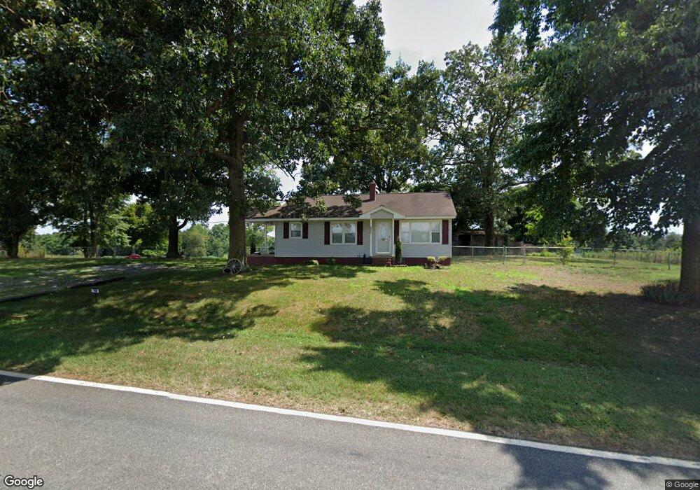
748 Bell Rd Kings Mountain, NC 28086
Estimated Value: $67,427 - $252,000
--
Bed
--
Bath
--
Sq Ft
2.05
Acres
About This Home
This home is located at 748 Bell Rd, Kings Mountain, NC 28086 and is currently estimated at $163,857. 748 Bell Rd is a home located in Cleveland County with nearby schools including Bethware Elementary School, Kings Mountain Intermediate School, and Kings Mountain Middle.
Ownership History
Date
Name
Owned For
Owner Type
Purchase Details
Closed on
Feb 3, 2021
Sold by
Bell Garry Gene and Bell Terri Renee
Bought by
Sipes Haven Rape and Bell Wesley Lawrance
Current Estimated Value
Home Financials for this Owner
Home Financials are based on the most recent Mortgage that was taken out on this home.
Original Mortgage
$88,158
Outstanding Balance
$74,723
Interest Rate
2.65%
Mortgage Type
New Conventional
Estimated Equity
$89,134
Purchase Details
Closed on
Dec 21, 2020
Sold by
Bell Janis C
Bought by
Bell Wesley L
Home Financials for this Owner
Home Financials are based on the most recent Mortgage that was taken out on this home.
Original Mortgage
$88,158
Outstanding Balance
$74,723
Interest Rate
2.65%
Mortgage Type
New Conventional
Estimated Equity
$89,134
Purchase Details
Closed on
Nov 27, 2007
Sold by
Bell Melinda Jean Kuykendall
Bought by
Bill Garry Gene
Create a Home Valuation Report for This Property
The Home Valuation Report is an in-depth analysis detailing your home's value as well as a comparison with similar homes in the area
Home Values in the Area
Average Home Value in this Area
Purchase History
| Date | Buyer | Sale Price | Title Company |
|---|---|---|---|
| Sipes Haven Rape | -- | None Listed On Document | |
| Sipes Haven Rape | -- | None Listed On Document | |
| Bell Wesley L | -- | None Available | |
| Bill Garry Gene | -- | None Available |
Source: Public Records
Mortgage History
| Date | Status | Borrower | Loan Amount |
|---|---|---|---|
| Open | Sipes Haven Rape | $88,158 | |
| Closed | Sipes Haven Rape | $88,158 |
Source: Public Records
Tax History Compared to Growth
Tax History
| Year | Tax Paid | Tax Assessment Tax Assessment Total Assessment is a certain percentage of the fair market value that is determined by local assessors to be the total taxable value of land and additions on the property. | Land | Improvement |
|---|---|---|---|---|
| 2025 | $211 | $33,189 | $18,189 | $15,000 |
| 2024 | $187 | $23,491 | $15,691 | $7,800 |
| 2023 | $186 | $23,491 | $15,691 | $7,800 |
| 2022 | $186 | $23,491 | $15,691 | $7,800 |
| 2021 | $297 | $37,363 | $29,563 | $7,800 |
| 2020 | $282 | $34,078 | $26,278 | $7,800 |
| 2019 | $282 | $34,078 | $26,278 | $7,800 |
| 2018 | $282 | $34,078 | $26,278 | $7,800 |
| 2017 | $281 | $34,078 | $26,278 | $7,800 |
| 2016 | $367 | $46,498 | $42,598 | $3,900 |
| 2015 | $793 | $92,581 | $51,679 | $40,902 |
| 2014 | $793 | $92,581 | $51,679 | $40,902 |
Source: Public Records
Map
Nearby Homes
- 213 Press Sweezy Rd
- 100 Tripp Dr
- 3367 Marshall Wolfe Rd
- 839 Oak Grove Rd
- 00 Gary Beam Rd
- 608 Rollingbrook Rd
- 124 Rollingbrook Rd
- 00 Bottom Rd Unit 1
- 00 Bottom Rd Unit 2
- 122 Bottom Rd
- 956 Stony Point Rd
- 111 Bottom Rd
- 3202 Marshall Wolfe Rd
- 107 Muirfield Dr
- 103 Amy Dr
- 155 Castle Ct
- 153 Harbourtown Dr
- 111 Tarheel Dr
- 106 Fabian Dr Unit 17
- 106 Candlewood Dr