Estimated Value: $521,329
3
Beds
2
Baths
2,480
Sq Ft
$210/Sq Ft
Est. Value
About This Home
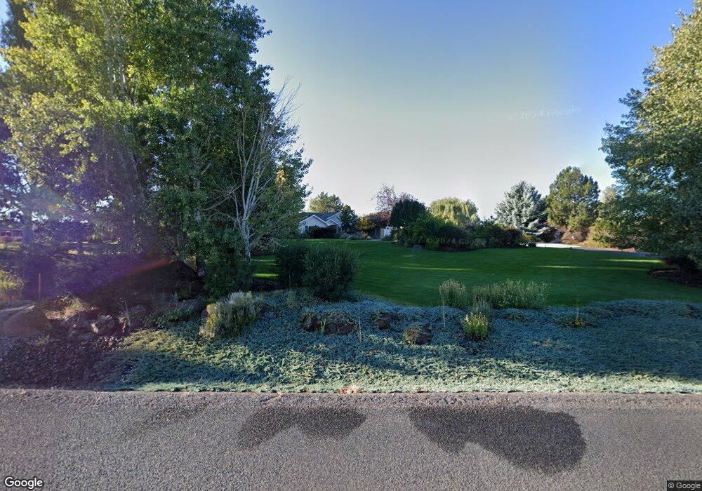
This home is located at 748 Hines Ct, Hines, OR 97738 and is currently estimated at $521,329, approximately $210 per square foot. 748 Hines Ct is a home located in Harney County with nearby schools including Henry L. Slater Elementary School, Hines Middle School, and Burns High School.
Ownership History
Date
Name
Owned For
Owner Type
Purchase Details
Closed on
Oct 17, 2023
Sold by
Earl Jason Christopher and Joy Earl Marissa
Bought by
Odel Janine Alice
Current Estimated Value
Purchase Details
Closed on
Aug 12, 2022
Sold by
Schirm Living Trust
Bought by
Jennifer C Schirm Trust
Purchase Details
Closed on
Sep 14, 2015
Sold by
Monroe George W and Monroe Shana L
Bought by
Schirm Living Trust
Purchase Details
Closed on
Feb 18, 2010
Sold by
Blackburn Dorothy A and The Dorothy A Blackburn Family
Bought by
Monroe George W and Monroe Shana L
Home Financials for this Owner
Home Financials are based on the most recent Mortgage that was taken out on this home.
Original Mortgage
$33,000
Interest Rate
5.02%
Mortgage Type
Credit Line Revolving
Purchase Details
Closed on
Feb 2, 2009
Sold by
Blackburn Jett C and Blackburn Dorothy A
Bought by
Dorothy A Blackburn Family Trust
Create a Home Valuation Report for This Property
The Home Valuation Report is an in-depth analysis detailing your home's value as well as a comparison with similar homes in the area
Home Values in the Area
Average Home Value in this Area
Purchase History
| Date | Buyer | Sale Price | Title Company |
|---|---|---|---|
| Odel Janine Alice | $180,000 | Amerititle | |
| Durbin Mary J | -- | None Listed On Document | |
| Jennifer C Schirm Trust | -- | None Listed On Document | |
| Schirm Living Trust | $315,000 | Amerititle | |
| Monroe George W | $330,000 | None Available | |
| Dorothy A Blackburn Family Trust | -- | None Available |
Source: Public Records
Mortgage History
| Date | Status | Borrower | Loan Amount |
|---|---|---|---|
| Previous Owner | Monroe George W | $33,000 |
Source: Public Records
Tax History Compared to Growth
Tax History
| Year | Tax Paid | Tax Assessment Tax Assessment Total Assessment is a certain percentage of the fair market value that is determined by local assessors to be the total taxable value of land and additions on the property. | Land | Improvement |
|---|---|---|---|---|
| 2025 | $5,543 | $430,950 | -- | -- |
| 2024 | $5,483 | $418,400 | -- | -- |
| 2023 | $5,483 | $406,220 | $0 | $0 |
| 2022 | $5,148 | $394,390 | $0 | $0 |
| 2021 | $4,735 | $382,910 | $0 | $0 |
| 2020 | $4,668 | $382,910 | $0 | $0 |
| 2019 | $4,471 | $360,940 | $0 | $0 |
| 2018 | $4,433 | $355,180 | $0 | $0 |
| 2017 | $4,391 | $344,840 | $0 | $0 |
| 2016 | $3,996 | $319,010 | $0 | $0 |
| 2015 | $3,944 | $309,720 | $0 | $0 |
| 2014 | $3,963 | $300,700 | $0 | $0 |
Source: Public Records
Map
Nearby Homes
- TL 200 Knight Dr
- TL 2100 King Roosevelt Ave
- 706 Knight Dr
- TL 802 King Ave
- 516 W Ridge Ave
- 504 W Ridge Ave
- 501 Westridge Ave
- 507 N Roanoke Ave
- 220 N Saginaw Ave
- TL 300 Pierce St
- 400 S Shasta Place
- 137 S Saginaw Ave
- 104 N Newport Ave
- Tl 700 S Quincy Ave
- 140 S Ogden Ave
- 139 S Ogden Ave
- 150 S Ogden Ave
- 781 S Kearney Ave
- 240 S Saginaw Ave
- 257 S Roanoke Ave