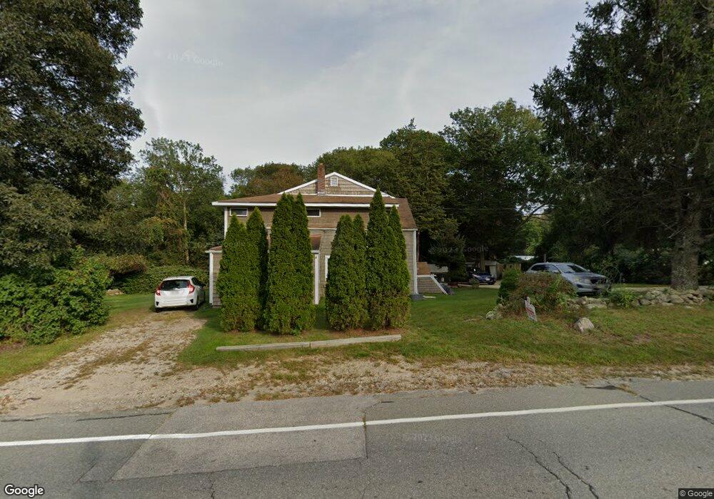
748 Main Rd Westport, MA 02790
Booth/Handy Four Corners NeighborhoodEstimated Value: $616,190 - $804,000
2
Beds
--
Bath
2,978
Sq Ft
$239/Sq Ft
Est. Value
About This Home
This home is located at 748 Main Rd, Westport, MA 02790 and is currently estimated at $712,048, approximately $239 per square foot. 748 Main Rd is a home located in Bristol County with nearby schools including Alice A. Macomber Primary School, Westport Elementary School, and Westport Middle-High School.
Ownership History
Date
Name
Owned For
Owner Type
Purchase Details
Closed on
Jan 23, 2004
Sold by
Lawton Sylvia A and Lawton William E
Bought by
Ubiera Reyes S and Ubiera Sue Ann
Current Estimated Value
Purchase Details
Closed on
Dec 28, 1989
Sold by
Pettey Mary S Est
Bought by
Lawton William E
Create a Home Valuation Report for This Property
The Home Valuation Report is an in-depth analysis detailing your home's value as well as a comparison with similar homes in the area
Home Values in the Area
Average Home Value in this Area
Purchase History
| Date | Buyer | Sale Price | Title Company |
|---|---|---|---|
| Ubiera Reyes S | -- | -- | |
| Lawton William E | $93,000 | -- |
Source: Public Records
Mortgage History
| Date | Status | Borrower | Loan Amount |
|---|---|---|---|
| Open | Lawton William E | $326,394 | |
| Closed | Lawton William E | $304,000 | |
| Previous Owner | Lawton William E | $192,000 |
Source: Public Records
Tax History
| Year | Tax Paid | Tax Assessment Tax Assessment Total Assessment is a certain percentage of the fair market value that is determined by local assessors to be the total taxable value of land and additions on the property. | Land | Improvement |
|---|---|---|---|---|
| 2025 | $3,089 | $414,600 | $166,100 | $248,500 |
| 2024 | $2,895 | $374,500 | $147,200 | $227,300 |
| 2023 | $2,775 | $340,100 | $127,400 | $212,700 |
| 2022 | $2,452 | $303,000 | $127,400 | $175,600 |
| 2021 | $2,452 | $284,400 | $110,100 | $174,300 |
| 2020 | $2,313 | $274,400 | $100,100 | $174,300 |
| 2019 | $2,162 | $261,400 | $100,100 | $161,300 |
| 2018 | $2,244 | $274,700 | $112,300 | $162,400 |
| 2017 | $2,118 | $265,800 | $108,700 | $157,100 |
| 2016 | $2,074 | $262,200 | $105,100 | $157,100 |
| 2015 | $1,870 | $235,800 | $107,500 | $128,300 |
Source: Public Records
Map
Nearby Homes
- 8 Village Way
- 640 Main Rd
- 923 Drift Rd
- 101 Adamsville Rd
- 612 Drift Rd
- 920 Drift Rd
- 0 Hidden Glen Ln
- 10 Fernmarsh Ln
- 408 Hixbridge Rd
- 978 Sodom Rd
- 0 Sodom Rd Unit 73484265
- 45 Marcotte Unit Lot 7
- 11 Marcotte Dr Unit Lot 2
- 330 Sodom Rd
- 119 White Oak Run
- 26 Division Rd
- 17 Quail Trail
- 1282 East Rd
- 25 Quail Trail
- 6 Angel Ct
- 740 Main Rd
- 747 Main Rd
- 735 Main Rd
- 760 Main Rd
- 721 Main Rd Unit 723
- 00 Withheld
- 0 Wine and Beer Making Unit 72619395
- 1 Breakfast Way
- 000 Calhoon Way
- 0 Confidential Unit 72405227
- 719 Main Rd
- 767 Main Rd Unit 6
- 767 Main Rd Unit 5
- 711 Main Rd
- 2 Brookwood Dr
- 724 Main Rd
- 6 Brookwood Dr
- 791 Main Rd
- 14 Brookwood Dr
- 22 Brookwood Dr
Your Personal Tour Guide
Ask me questions while you tour the home.