748 McCord Ferry Rd Lugoff, SC 29078
Estimated Value: $91,000 - $231,000
--
Bed
--
Bath
1,284
Sq Ft
$118/Sq Ft
Est. Value
About This Home
This home is located at 748 McCord Ferry Rd, Lugoff, SC 29078 and is currently estimated at $151,882, approximately $118 per square foot. 748 McCord Ferry Rd is a home with nearby schools including Doby's Mill Elementary School, Leslie M. Stover Middle School, and Lugoff-Elgin High School.
Ownership History
Date
Name
Owned For
Owner Type
Purchase Details
Closed on
Oct 9, 2020
Sold by
Hipkiss Eric J
Bought by
Taylor Clinton
Current Estimated Value
Purchase Details
Closed on
Oct 8, 2020
Sold by
Hipkiss Eric J
Bought by
Taylor Clinton
Purchase Details
Closed on
Aug 16, 2002
Sold by
Burdin Christie
Bought by
Hipkiss Eric
Purchase Details
Closed on
Jul 31, 2002
Sold by
Prewitt Russell L
Bought by
Burdin Christie
Create a Home Valuation Report for This Property
The Home Valuation Report is an in-depth analysis detailing your home's value as well as a comparison with similar homes in the area
Home Values in the Area
Average Home Value in this Area
Purchase History
| Date | Buyer | Sale Price | Title Company |
|---|---|---|---|
| Taylor Clinton | $49,000 | Connell Law Firm Llc | |
| Taylor Clinton | $49,000 | Connell Law Firm Llc | |
| Hipkiss Eric | $80,000 | -- | |
| Burdin Christie | $7,500 | -- |
Source: Public Records
Tax History Compared to Growth
Tax History
| Year | Tax Paid | Tax Assessment Tax Assessment Total Assessment is a certain percentage of the fair market value that is determined by local assessors to be the total taxable value of land and additions on the property. | Land | Improvement |
|---|---|---|---|---|
| 2025 | $681 | $87,200 | $10,000 | $77,200 |
| 2024 | $681 | $87,200 | $10,000 | $77,200 |
| 2023 | $290 | $87,200 | $10,000 | $77,200 |
| 2022 | $663 | $87,200 | $10,000 | $77,200 |
| 2021 | $573 | $87,200 | $10,000 | $77,200 |
| 2020 | $508 | $65,700 | $10,000 | $55,700 |
| 2019 | $522 | $65,700 | $10,000 | $55,700 |
| 2018 | $510 | $65,700 | $10,000 | $55,700 |
| 2017 | $496 | $65,700 | $10,000 | $55,700 |
| 2016 | $509 | $69,000 | $8,000 | $61,000 |
| 2015 | $340 | $69,000 | $8,000 | $61,000 |
| 2014 | $340 | $2,760 | $0 | $0 |
Source: Public Records
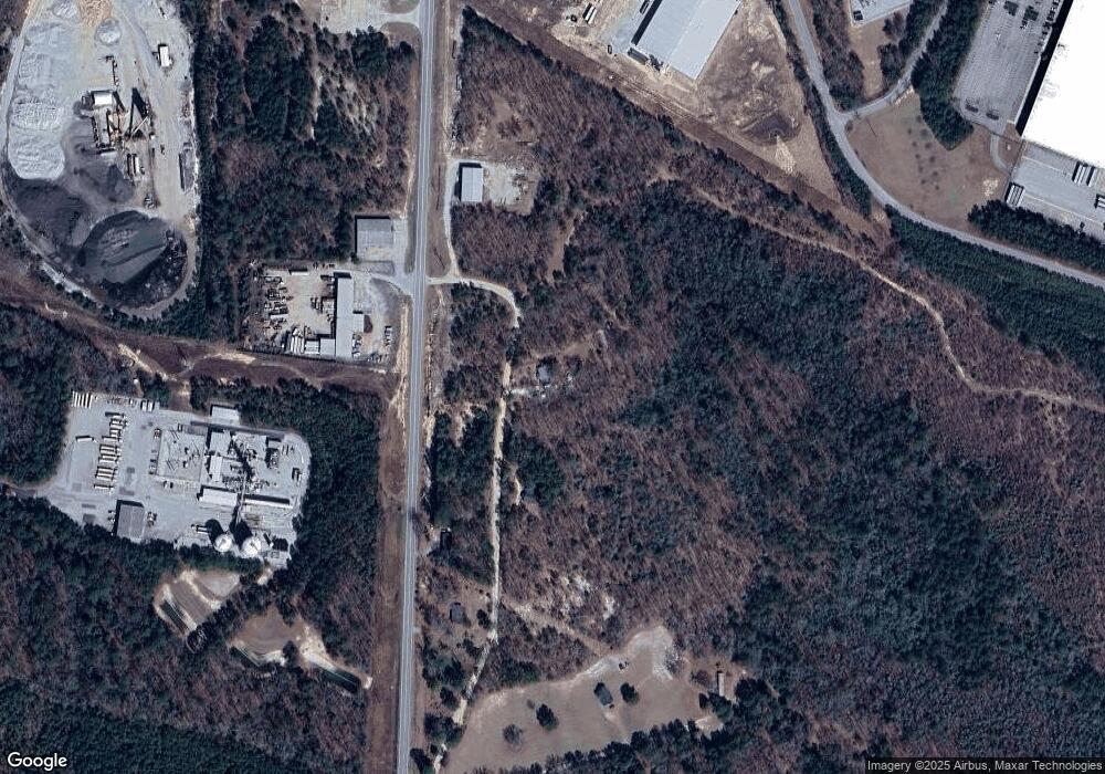
Map
Nearby Homes
- 14 Industrial Park Dr
- 909 McCord Ferry Rd
- 1584 Fort Jackson Rd
- 425 Crab Apple Way
- 1014 Meadow Dr
- 129 Glenshire Dr
- 18 Sylvan Ridge Ct
- 14 Sylvan Ridge Ct
- 6 Sylvan Ridge Ct
- 4 Sonja Way
- 10 Sylvan Ridge Ct
- 112 Woodmere Dr
- 205 Highway 601 S
- 0 Highway 601 S Unit 19341129
- 1096 Pepper Ridge Dr
- 140 Carrington Dr
- 105 Maple Ct
- 194 Carrington Dr
- 186 Carrington Dr
- 1103 Pepper Ridge Dr
- 760 McCord Ferry Rd
- 0 McCords Ferry Rd
- 788 Highway 601 S
- 776 McCord Ferry Rd
- 746 Highway 601 S
- 25 Park Hill Dr
- 88 Linde Ln
- 26 Park Hill Dr
- 98 Linde Ln
- 117 Lila D Ln
- 104 Linde Ln
- 108 Linde Ln
- 107 Linde Ln
- 114 Linde Ln
- 113 Linde Ln
- 126 Linde Ln
- 121 Linde Ln
- 133 Linde Ln
- 4 Industrial Park Dr
- 142 Linde Ln