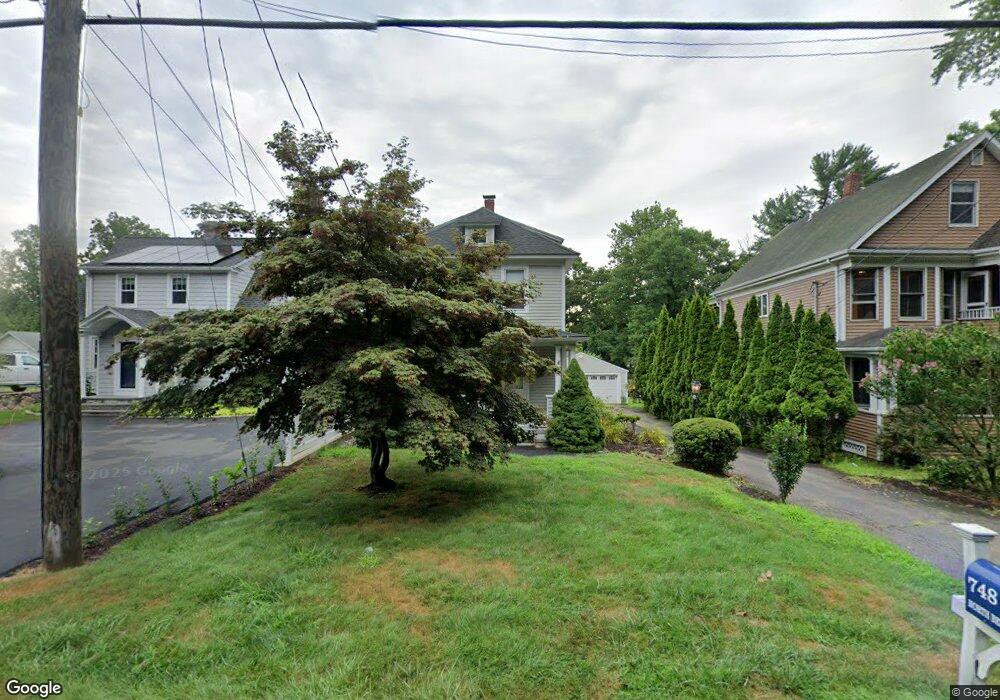
748 N Benson Rd Fairfield, CT 06824
University NeighborhoodEstimated Value: $729,000 - $793,120
2
Beds
2
Baths
1,065
Sq Ft
$716/Sq Ft
Est. Value
About This Home
This home is located at 748 N Benson Rd, Fairfield, CT 06824 and is currently estimated at $762,530, approximately $715 per square foot. 748 N Benson Rd is a home located in Fairfield County with nearby schools including Osborn Hill Elementary School, Fairfield Woods Middle School, and Fairfield Ludlowe High School.
Ownership History
Date
Name
Owned For
Owner Type
Purchase Details
Closed on
Jan 22, 2019
Sold by
Brennan Frank G
Bought by
Fairfield University
Current Estimated Value
Purchase Details
Closed on
Aug 15, 2000
Sold by
Biuckie Dawn C
Bought by
Brennan Patricia D
Purchase Details
Closed on
Jul 7, 1995
Sold by
Bittar William M Est
Bought by
Oracheff Michael Z and Biuckie Dawn C
Create a Home Valuation Report for This Property
The Home Valuation Report is an in-depth analysis detailing your home's value as well as a comparison with similar homes in the area
Home Values in the Area
Average Home Value in this Area
Purchase History
| Date | Buyer | Sale Price | Title Company |
|---|---|---|---|
| Fairfield University | $480,000 | -- | |
| Fairfield University | $480,000 | -- | |
| Brennan Patricia D | $293,500 | -- | |
| Brennan Patricia D | $293,500 | -- | |
| Oracheff Michael Z | $175,000 | -- | |
| Oracheff Michael Z | $175,000 | -- |
Source: Public Records
Mortgage History
| Date | Status | Borrower | Loan Amount |
|---|---|---|---|
| Previous Owner | Oracheff Michael Z | $280,000 | |
| Previous Owner | Oracheff Michael Z | $260,000 | |
| Previous Owner | Oracheff Michael Z | $234,800 |
Source: Public Records
Tax History Compared to Growth
Tax History
| Year | Tax Paid | Tax Assessment Tax Assessment Total Assessment is a certain percentage of the fair market value that is determined by local assessors to be the total taxable value of land and additions on the property. | Land | Improvement |
|---|---|---|---|---|
| 2025 | $9,515 | $335,160 | $282,100 | $53,060 |
| 2024 | $9,351 | $335,160 | $282,100 | $53,060 |
| 2023 | $9,220 | $335,160 | $282,100 | $53,060 |
| 2022 | $9,130 | $335,160 | $282,100 | $53,060 |
| 2021 | $9,043 | $335,160 | $282,100 | $53,060 |
| 2020 | $9,056 | $338,030 | $279,160 | $58,870 |
| 2019 | $9,056 | $338,030 | $279,160 | $58,870 |
| 2018 | $8,901 | $337,680 | $279,160 | $58,520 |
| 2017 | $8,719 | $337,680 | $279,160 | $58,520 |
| 2016 | $8,594 | $337,680 | $279,160 | $58,520 |
| 2015 | $8,447 | $340,760 | $293,930 | $46,830 |
| 2014 | $8,315 | $340,760 | $293,930 | $46,830 |
Source: Public Records
Map
Nearby Homes
- 168 Wormwood Rd
- 15 Barton Rd
- 133 Green Acre Ln
- 122 Colony St
- 38 Edge Hill Rd
- 20 Ermine St
- 2180 Kings Hwy Unit 1
- 478 Crestwood Rd
- 68 Figlar Ave
- 44 Deer Run Rd
- 274 High St
- 105 Charter Oak Rd
- 109 Jeniford Rd
- 45 Robin Cir
- 42 Robin Cir
- 361 Riverside Dr
- 232 Pell Meadow Dr
- 450 Davidson St
- 96 Clinton St
- 245 Unquowa Rd Unit 34
- 738 N Benson Rd
- 756 N Benson Rd
- 766 N Benson Rd
- 726 N Benson Rd
- 784 N Benson Rd
- 128 Wormwood Rd
- 806 N Benson Rd
- 130 Wormwood Rd
- 824 N Benson Rd
- 1816 Jennings Rd
- 145 Wormwood Rd
- 1112 Holland Hill Rd
- 1088 Holland Hill Rd
- 1834 Jennings Rd
- 136 Wormwood Rd
- 1798 Jennings Rd
- 394 Wakeman Rd
- 844 N Benson Rd
- 1863 Jennings Rd
- 152 Wormwood Rd