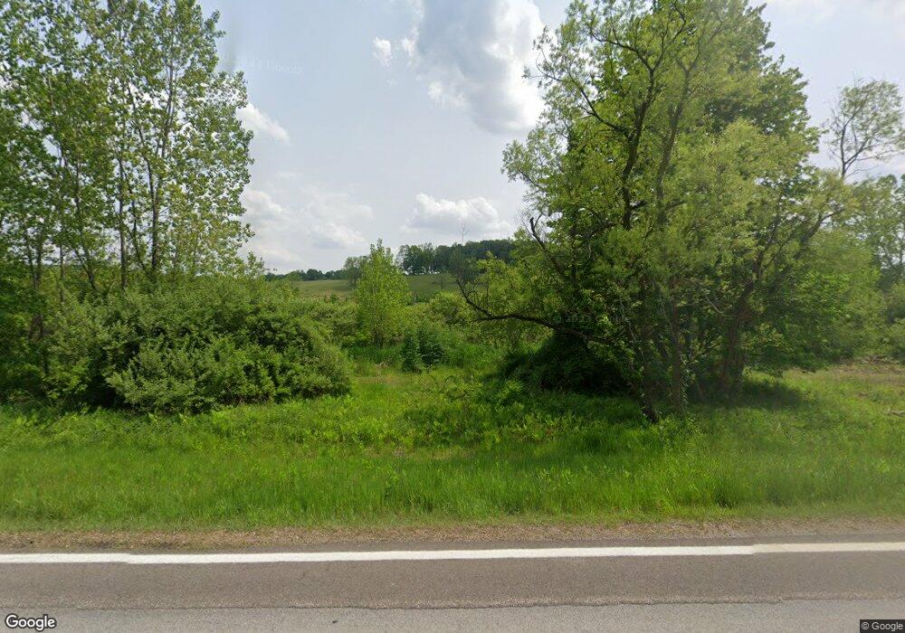
7488 State Route 95 Butler, OH 44822
Estimated Value: $276,000 - $764,897
3
Beds
3
Baths
2,305
Sq Ft
$226/Sq Ft
Est. Value
About This Home
This home is located at 7488 State Route 95, Butler, OH 44822 and is currently estimated at $520,449, approximately $225 per square foot. 7488 State Route 95 is a home with nearby schools including Clear Fork High School.
Ownership History
Date
Name
Owned For
Owner Type
Purchase Details
Closed on
Oct 23, 2017
Sold by
Brokaw Craig M and Brokaw Diane C
Bought by
Davis Michael and Davis Jennifer
Current Estimated Value
Purchase Details
Closed on
Oct 16, 2008
Sold by
Brokaw Craig N and Brokaw Keith D
Bought by
Brokaw Craig M and Brokaw Diane C
Purchase Details
Closed on
Apr 5, 2005
Sold by
Brokaw Tod B and Brokaw Shirley L
Bought by
The Brokaw Family Revocable Living Trust
Create a Home Valuation Report for This Property
The Home Valuation Report is an in-depth analysis detailing your home's value as well as a comparison with similar homes in the area
Home Values in the Area
Average Home Value in this Area
Purchase History
| Date | Buyer | Sale Price | Title Company |
|---|---|---|---|
| Davis Michael | -- | Attorney | |
| Brokaw Craig M | -- | Attorney | |
| The Brokaw Family Revocable Living Trust | -- | -- |
Source: Public Records
Tax History Compared to Growth
Tax History
| Year | Tax Paid | Tax Assessment Tax Assessment Total Assessment is a certain percentage of the fair market value that is determined by local assessors to be the total taxable value of land and additions on the property. | Land | Improvement |
|---|---|---|---|---|
| 2024 | $4,169 | $214,770 | $149,600 | $65,170 |
| 2023 | $4,169 | $214,770 | $149,600 | $65,170 |
| 2022 | $3,016 | $151,820 | $101,500 | $50,320 |
| 2021 | $3,257 | $151,820 | $101,500 | $50,320 |
| 2020 | $3,221 | $151,820 | $101,500 | $50,320 |
| 2019 | $3,770 | $134,900 | $84,580 | $50,320 |
| 2018 | $3,737 | $134,900 | $84,580 | $50,320 |
| 2017 | $5,387 | $166,970 | $96,620 | $70,350 |
| 2016 | $5,859 | $154,260 | $80,090 | $74,170 |
| 2015 | $5,859 | $154,260 | $80,090 | $74,170 |
| 2014 | $5,842 | $154,260 | $80,090 | $74,170 |
| 2012 | $2,270 | $140,910 | $66,740 | $74,170 |
Source: Public Records
Map
Nearby Homes
- 0 Mishey Rd
- 14345 Spohn Rd
- 76 Smith Rd
- 6533 Durbin Rd
- 3898 Ohio 97
- 224 Blue Bird Dr
- 128 College St
- 6509 Ankneytown Rd
- 1260 Ohio 97 Unit 115
- 361 Honey Creek Rd E
- 1259 State Route 97 E
- 21625 N Liberty Rd
- 1169 State Route 97 E
- 479 Ross Rd
- 11936 Yankee St
- 7230 State Route 13
- 5800 Ankneytown Rd
- 0 Divelbiss Rd
- 644 Ross Rd
- 70 Betty Dr
- 7439 State Route 95
- 7347 State Route 95
- 1411 Mishey Rd
- 7440 Garber Rd
- 7448 Garber Rd
- 7194 Ohio 95
- 7319 Garber Rd
- 7525 State Route 95
- 7122 Divelbiss Rd
- 7336 Divelbiss Rd
- 7340 Garber Rd
- 7376 Divelbiss Rd
- 7515 Ohio 95
- 7137 Divelbiss Rd
- 7065 Divelbiss Rd
- 7082 Garber Rd
- 7115 State Route 95
- 7129 State Route 95
- 7537 State Route 95
- 6915 Garber Rd
