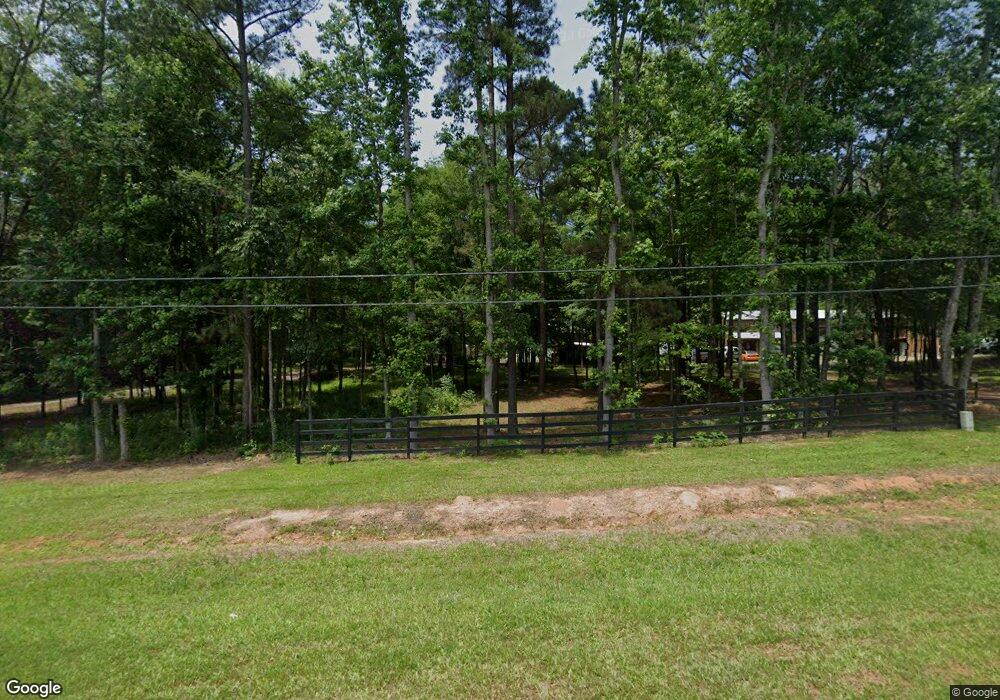
7489 Us Highway 80 E Lizella, GA 31052
Estimated Value: $286,000 - $397,566
4
Beds
3
Baths
2,664
Sq Ft
$128/Sq Ft
Est. Value
About This Home
This home is located at 7489 Us Highway 80 E, Lizella, GA 31052 and is currently estimated at $341,783, approximately $128 per square foot. 7489 Us Highway 80 E is a home with nearby schools including Crawford County Elementary School, Crawford County Middle School, and Crawford County High School.
Ownership History
Date
Name
Owned For
Owner Type
Purchase Details
Closed on
Sep 24, 2019
Sold by
Baker Mark E
Bought by
Baker Mark Ellis and Baker Marcia Merrell
Current Estimated Value
Home Financials for this Owner
Home Financials are based on the most recent Mortgage that was taken out on this home.
Original Mortgage
$240,900
Outstanding Balance
$210,574
Interest Rate
3.5%
Mortgage Type
New Conventional
Estimated Equity
$131,209
Purchase Details
Closed on
Dec 2, 2015
Sold by
Carter William Steven
Bought by
Baker Mark E
Purchase Details
Closed on
Sep 12, 2012
Sold by
Internal Revenue Svc
Bought by
Carter William Steven
Create a Home Valuation Report for This Property
The Home Valuation Report is an in-depth analysis detailing your home's value as well as a comparison with similar homes in the area
Home Values in the Area
Average Home Value in this Area
Purchase History
| Date | Buyer | Sale Price | Title Company |
|---|---|---|---|
| Baker Mark Ellis | -- | -- | |
| Baker Mark E | $25,000 | -- | |
| Carter William Steven | $16,200 | -- |
Source: Public Records
Mortgage History
| Date | Status | Borrower | Loan Amount |
|---|---|---|---|
| Open | Baker Mark Ellis | $240,900 |
Source: Public Records
Tax History Compared to Growth
Tax History
| Year | Tax Paid | Tax Assessment Tax Assessment Total Assessment is a certain percentage of the fair market value that is determined by local assessors to be the total taxable value of land and additions on the property. | Land | Improvement |
|---|---|---|---|---|
| 2024 | $3,949 | $136,800 | $10,160 | $126,640 |
| 2023 | $3,949 | $136,800 | $10,160 | $126,640 |
| 2022 | $3,275 | $113,760 | $10,160 | $103,600 |
| 2021 | $3,227 | $100,600 | $10,160 | $90,440 |
| 2020 | $3,227 | $100,600 | $10,160 | $90,440 |
| 2019 | $2,408 | $75,520 | $10,160 | $65,360 |
| 2018 | $806 | $26,840 | $10,160 | $16,680 |
| 2017 | $589 | $19,440 | $10,160 | $9,280 |
| 2016 | $300 | $10,160 | $10,160 | $0 |
Source: Public Records
Map
Nearby Homes
- . Bentley Rd
- 0 Bentley Rd Unit 10461891
- 1979 Dent Rd
- 9390 Hopewell Rd
- 517 Capers Ln
- 4087 E Us-80 Hwy
- 82 Tucker Rd
- 2550 Midway Rd
- 2198 Dennis Rd
- 299 Chapman Rd
- 4546 Hicks Ct
- 375 Bagley Rd
- 361 Allen Rd
- 3715 S Lizella Rd
- 8335 Eisenhower Pkwy
- 6411 Columbus Rd
- 8278 Lower Thomaston Rd
- . S U Highway 80 E
- 430 Burlington Dr
- 444 Burlington Dr
- 7421 Us Highway 80 E
- 7523 Us Highway 80 E
- 7523 Us Highway 80 E
- 7523 Us Highway 80 E
- 7319 Us Highway 80 E
- 7255 Us Highway 80 E
- 310 Spring Hill Church Rd
- 430 Spring Hill Church Rd
- 170 Wesley Place
- 7184 Us Highway 80 E
- 123 Wesley Place
- 492 Spring Hill Church Rd
- 0 Us Hwy Unit M133628
- 0 Us Hwy Unit M141762
- 7523 Highway
- 375 Spring Hill Church Rd
- 281 Spring Hill Church Rd
- 315 Spring Hill Church Rd
- 7909 Us Highway 80 E
- 7909 Us Highway 80 E
