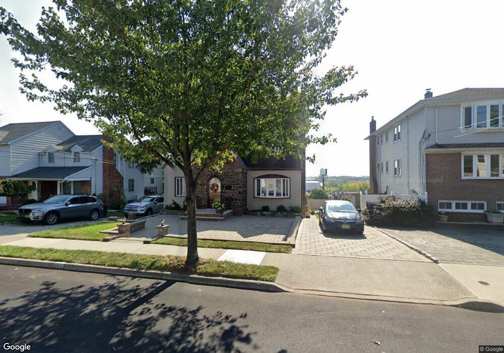
749 7th St Carlstadt, NJ 07072
Estimated Value: $725,000 - $760,000
--
Bed
--
Bath
2,186
Sq Ft
$339/Sq Ft
Est. Value
About This Home
This home is located at 749 7th St, Carlstadt, NJ 07072 and is currently estimated at $740,660, approximately $338 per square foot. 749 7th St is a home located in Bergen County with nearby schools including Carlstadt Public School, Henry P Becton Regional High School, and Montessori School of East Rutherford.
Ownership History
Date
Name
Owned For
Owner Type
Purchase Details
Closed on
Feb 24, 2020
Sold by
Curran Gail C
Bought by
Brookman Andrew M and Tomanek Glina M
Current Estimated Value
Home Financials for this Owner
Home Financials are based on the most recent Mortgage that was taken out on this home.
Original Mortgage
$408,500
Outstanding Balance
$362,468
Interest Rate
3.6%
Mortgage Type
Construction
Estimated Equity
$378,192
Purchase Details
Closed on
Feb 20, 2020
Sold by
Curran Robert J and Curran Keith F
Bought by
Brookman Andrew M and Tomanek Gina M
Home Financials for this Owner
Home Financials are based on the most recent Mortgage that was taken out on this home.
Original Mortgage
$408,500
Outstanding Balance
$362,468
Interest Rate
3.6%
Mortgage Type
Construction
Estimated Equity
$378,192
Create a Home Valuation Report for This Property
The Home Valuation Report is an in-depth analysis detailing your home's value as well as a comparison with similar homes in the area
Home Values in the Area
Average Home Value in this Area
Purchase History
| Date | Buyer | Sale Price | Title Company |
|---|---|---|---|
| Brookman Andrew M | $430,000 | Catic Title Ins Co | |
| Brookman Andrew M | $430,000 | Catic Title Insurance Co |
Source: Public Records
Mortgage History
| Date | Status | Borrower | Loan Amount |
|---|---|---|---|
| Open | Brookman Andrew M | $408,500 | |
| Closed | Brookman Andrew M | $408,500 |
Source: Public Records
Tax History Compared to Growth
Tax History
| Year | Tax Paid | Tax Assessment Tax Assessment Total Assessment is a certain percentage of the fair market value that is determined by local assessors to be the total taxable value of land and additions on the property. | Land | Improvement |
|---|---|---|---|---|
| 2025 | $8,868 | $556,600 | $255,900 | $300,700 |
| 2024 | $8,024 | $533,900 | $243,400 | $290,500 |
| 2023 | $7,716 | $487,800 | $215,900 | $271,900 |
| 2022 | $7,716 | $457,100 | $198,000 | $259,100 |
| 2021 | $7,845 | $432,700 | $185,500 | $247,200 |
| 2020 | $7,382 | $415,900 | $180,500 | $235,400 |
| 2019 | $7,294 | $397,500 | $178,000 | $219,500 |
| 2018 | $7,532 | $391,900 | $175,500 | $216,400 |
| 2017 | $7,332 | $384,700 | $173,000 | $211,700 |
| 2016 | $8,470 | $398,400 | $197,400 | $201,000 |
| 2015 | $8,247 | $398,400 | $197,400 | $201,000 |
| 2014 | $7,932 | $398,400 | $197,400 | $201,000 |
Source: Public Records
Map
Nearby Homes
- 340 Marsan Dr
- 88 Columbia St
- 38 Hackensack St
- 53 Hackensack St
- 573 Anderson Ave
- 30 Humboldt St
- 167 Columbia St
- 148 Hackensack St
- 165 Madison St
- 522 9th St
- 176 Hackensack St Unit 6
- 206 Columbia St
- 89 Rose St
- 560 Ryerson Ave
- 245 Cliff St
- 344 10th St
- 426 Broad St
- 364 Wood Ridge Ave
- 507 Washington St
- 476 Innes Rd