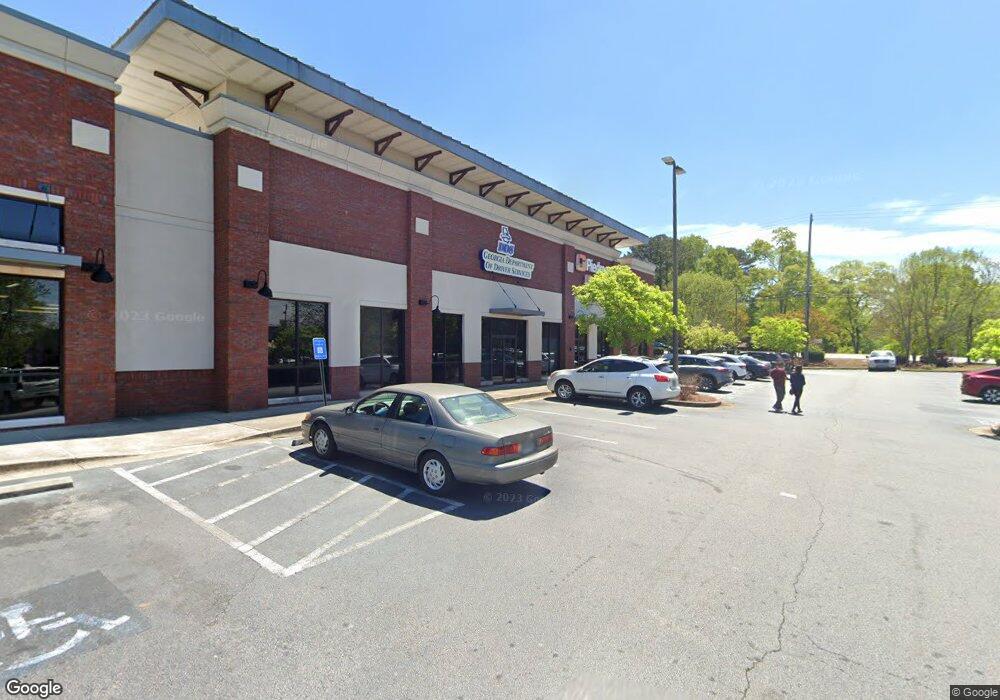
749 Lanier Ave W Fayetteville, GA 30214
Estimated Value: $907,000
--
Bed
--
Bath
14,624
Sq Ft
$62/Sq Ft
Est. Value
About This Home
This home is located at 749 Lanier Ave W, Fayetteville, GA 30214 and is currently priced at $907,000, approximately $62 per square foot. 749 Lanier Ave W is a home located in Fayette County with nearby schools including Spring Hill Elementary School, Bennett's Mill Middle School, and Fayette County High School.
Ownership History
Date
Name
Owned For
Owner Type
Purchase Details
Closed on
Dec 2, 2016
Sold by
Theodossis Angelos
Bought by
Brandywine Corners Llc
Current Estimated Value
Purchase Details
Closed on
May 16, 2016
Sold by
Legacy State Bank
Bought by
Fotini Theodossis Angelos Hab and Fotini Thodossis
Home Financials for this Owner
Home Financials are based on the most recent Mortgage that was taken out on this home.
Original Mortgage
$1,300,000
Interest Rate
3.58%
Mortgage Type
Commercial
Create a Home Valuation Report for This Property
The Home Valuation Report is an in-depth analysis detailing your home's value as well as a comparison with similar homes in the area
Home Values in the Area
Average Home Value in this Area
Purchase History
| Date | Buyer | Sale Price | Title Company |
|---|---|---|---|
| Brandywine Corners Llc | -- | -- | |
| Fotini Theodossis Angelos Hab | $2,400,000 | -- |
Source: Public Records
Mortgage History
| Date | Status | Borrower | Loan Amount |
|---|---|---|---|
| Previous Owner | Fotini Theodossis Angelos Hab | $1,300,000 |
Source: Public Records
Tax History Compared to Growth
Tax History
| Year | Tax Paid | Tax Assessment Tax Assessment Total Assessment is a certain percentage of the fair market value that is determined by local assessors to be the total taxable value of land and additions on the property. | Land | Improvement |
|---|---|---|---|---|
| 2024 | $36,859 | $1,240,238 | $403,956 | $836,282 |
| 2023 | $37,777 | $1,241,028 | $351,268 | $889,760 |
| 2022 | $32,185 | $1,059,068 | $351,268 | $707,800 |
| 2021 | $30,118 | $978,508 | $351,268 | $627,240 |
| 2020 | $29,496 | $953,988 | $351,268 | $602,720 |
| 2019 | $30,142 | $965,308 | $351,268 | $614,040 |
| 2018 | $30,068 | $952,908 | $351,268 | $601,640 |
| 2017 | $28,277 | $945,748 | $351,268 | $594,480 |
| 2016 | $21,705 | $710,300 | $316,140 | $394,160 |
| 2015 | $21,821 | $701,380 | $316,140 | $385,240 |
| 2014 | $22,489 | $709,620 | $316,140 | $393,480 |
| 2013 | -- | $709,620 | $0 | $0 |
Source: Public Records
Map
Nearby Homes
- 105 Deep Forest Ln
- 1305 & 1307 Highway 54
- 120 Deep Forest Ln Unit 1
- 405 415 Chase Dr
- 115 Climbing Ivy Cir
- 125 Climbing Ivy Cir
- Thornewood Plan at Village Towns
- 325 Enchanted Ct
- 550 Thatch Terrace
- 210 Colonial Ct
- 105 Hollis St
- 0 Hwy 54 West of Yorktown Dr Unit 10463188
- 105 Rehobeth Way
- 220 Rehobeth Way
- 295 Cobalt Dr
- 315 Cobalt Dr
- 305 Cobalt Dr
- 265 Rehobeth Way
- 275 Rehobeth Way
- 315 Walker Ave
- 741 Lanier Ave W
- 100 Oak St
- 150 Brandon Ln Unit 3
- 140 Brandon Ln Unit 150
- 105 Oak St Unit 1
- 735 Lanier Ave W
- 0 Highway 54
- 115 Deep Forest Ln
- 100 Deep Forest Ln
- 115 Oak St Unit 1
- 165 Brandon Ln Unit 1
- 100 Hickory Ave
- 130 Brandon Ln
- 120 Brandon Ln
- 102 Hickory Ave
- 120 Oak St
- 125 Oak St
- 0 Brandon Ln Unit 3
- 110 Deep Forest Ln
- 125 Deep Forest Ln