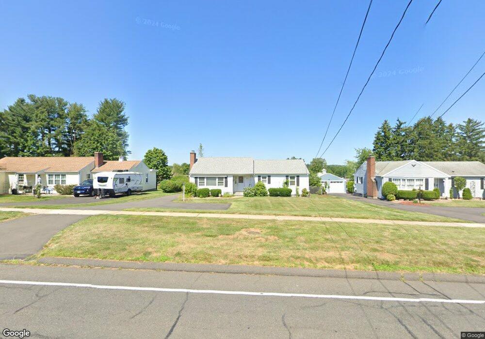
749 Maple St Wethersfield, CT 06109
Estimated Value: $383,000 - $422,000
3
Beds
2
Baths
1,310
Sq Ft
$310/Sq Ft
Est. Value
About This Home
This home is located at 749 Maple St, Wethersfield, CT 06109 and is currently estimated at $405,854, approximately $309 per square foot. 749 Maple St is a home located in Hartford County with nearby schools including Highcrest School, Silas Deane Middle School, and Wethersfield High School.
Create a Home Valuation Report for This Property
The Home Valuation Report is an in-depth analysis detailing your home's value as well as a comparison with similar homes in the area
Home Values in the Area
Average Home Value in this Area
Tax History
| Year | Tax Paid | Tax Assessment Tax Assessment Total Assessment is a certain percentage of the fair market value that is determined by local assessors to be the total taxable value of land and additions on the property. | Land | Improvement |
|---|---|---|---|---|
| 2025 | $9,789 | $237,480 | $89,960 | $147,520 |
| 2024 | $6,531 | $151,120 | $72,100 | $79,020 |
| 2023 | $6,314 | $151,120 | $72,100 | $79,020 |
| 2022 | $6,208 | $151,120 | $72,100 | $79,020 |
| 2021 | $6,146 | $151,120 | $72,100 | $79,020 |
| 2020 | $6,149 | $151,120 | $72,100 | $79,020 |
| 2019 | $6,157 | $151,120 | $72,100 | $79,020 |
| 2018 | $6,137 | $150,500 | $68,700 | $81,800 |
| 2017 | $5,985 | $150,500 | $68,700 | $81,800 |
| 2016 | $5,800 | $150,500 | $68,700 | $81,800 |
| 2015 | $5,748 | $150,500 | $68,700 | $81,800 |
| 2014 | $5,529 | $150,500 | $68,700 | $81,800 |
Source: Public Records
Map
Nearby Homes
- 70 Mountain Laurel Dr Unit 70
- 268 Fox Hill Rd
- 18 Mcintosh Cir Unit 18
- 11 Charter Rd
- 1610 Silas Deane Hwy
- 92 Berkshire Rd
- 31 Ox Yoke Dr
- 89 Merriman Rd
- 99 Elm Ridge Dr
- 155 Old Common Rd
- 38 Wheeler Rd
- 59 Chapin Ave
- 250 Edward St
- 0 Collier Rd
- 101 Collier Rd
- 36 Copper Beech Dr
- 20 Little Oak Ln Unit 20
- 750 Wolcott Hill Rd
- 455 Brimfield Rd
- 25 Heather Hill
Your Personal Tour Guide
Ask me questions while you tour the home.