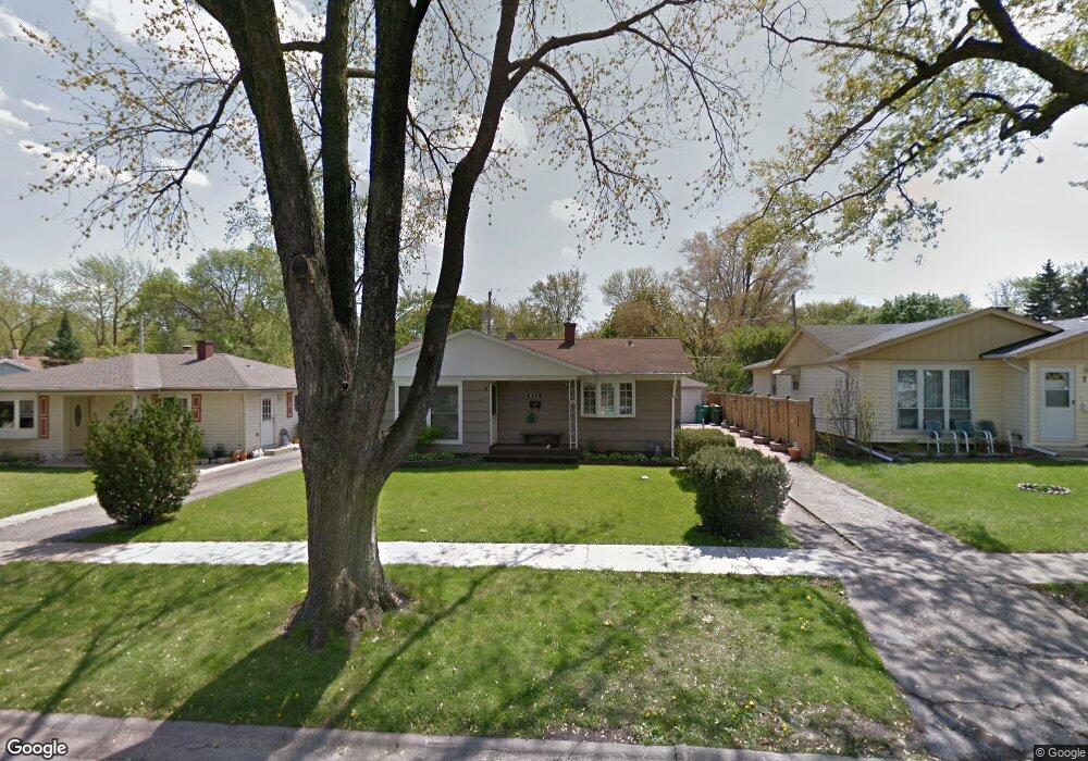
749 N Green Dr Wheeling, IL 60090
Estimated Value: $295,019 - $319,000
3
Beds
1
Bath
962
Sq Ft
$319/Sq Ft
Est. Value
About This Home
This home is located at 749 N Green Dr, Wheeling, IL 60090 and is currently estimated at $306,505, approximately $318 per square foot. 749 N Green Dr is a home located in Cook County with nearby schools including Mark Twain Elementary School, Oliver W Holmes Middle School, and Wheeling High School.
Ownership History
Date
Name
Owned For
Owner Type
Purchase Details
Closed on
Jul 18, 2012
Sold by
Mirovskiy Igor and Mirovska Maria
Bought by
Mirovskiy Igor
Current Estimated Value
Purchase Details
Closed on
Nov 27, 2002
Sold by
Kautz Nicholas and Kautz Pamela
Bought by
Mirovskiy Igor and Mirovska Maria
Home Financials for this Owner
Home Financials are based on the most recent Mortgage that was taken out on this home.
Original Mortgage
$156,300
Outstanding Balance
$65,334
Interest Rate
6.38%
Estimated Equity
$241,171
Purchase Details
Closed on
Jan 26, 1994
Sold by
The First National Bank Of Des Plaines
Bought by
Kautz Nicholas and Kautz Pamela
Home Financials for this Owner
Home Financials are based on the most recent Mortgage that was taken out on this home.
Original Mortgage
$77,300
Interest Rate
7.31%
Create a Home Valuation Report for This Property
The Home Valuation Report is an in-depth analysis detailing your home's value as well as a comparison with similar homes in the area
Home Values in the Area
Average Home Value in this Area
Purchase History
| Date | Buyer | Sale Price | Title Company |
|---|---|---|---|
| Mirovskiy Igor | -- | None Available | |
| Mirovskiy Igor | $174,000 | Ticor Title Insurance Compan | |
| Kautz Nicholas | -- | 1St American Title |
Source: Public Records
Mortgage History
| Date | Status | Borrower | Loan Amount |
|---|---|---|---|
| Open | Mirovskiy Igor | $156,300 | |
| Previous Owner | Kautz Nicholas | $77,300 |
Source: Public Records
Tax History
| Year | Tax Paid | Tax Assessment Tax Assessment Total Assessment is a certain percentage of the fair market value that is determined by local assessors to be the total taxable value of land and additions on the property. | Land | Improvement |
|---|---|---|---|---|
| 2025 | $5,256 | $24,001 | $4,538 | $19,463 |
| 2024 | $5,256 | $19,001 | $3,933 | $15,068 |
| 2023 | $4,979 | $19,001 | $3,933 | $15,068 |
| 2022 | $4,979 | $19,001 | $3,933 | $15,068 |
| 2021 | $4,365 | $15,112 | $3,025 | $12,087 |
| 2020 | $4,334 | $15,112 | $3,025 | $12,087 |
| 2019 | $4,421 | $16,923 | $3,025 | $13,898 |
| 2018 | $3,803 | $13,857 | $2,571 | $11,286 |
| 2017 | $3,747 | $13,857 | $2,571 | $11,286 |
| 2016 | $3,790 | $13,857 | $2,571 | $11,286 |
| 2015 | $3,741 | $13,121 | $2,268 | $10,853 |
| 2014 | $3,668 | $13,121 | $2,268 | $10,853 |
| 2013 | $3,367 | $13,121 | $2,268 | $10,853 |
Source: Public Records
Map
Nearby Homes
- 492 Bernice Ct
- 475 E Merle Ln
- 353 E Norman Ln
- 665 Cindy Ln
- 231 E Wayne Place
- 751 Garth Rd
- 1105 N Maple Ln
- 200 Violet Ln
- 988 Ridgefield Ln Unit 54
- 3026 Jackson Dr
- 2822 Jackson Dr
- 1111 Pleasant Run Dr Unit 911
- 2812 Jackson Dr
- 920 Valley Stream Dr
- 1125 Pleasant Run Dr Unit 807
- 822 Colonial Dr Unit B
- 842 Colonial Dr Unit B
- 1504 Chippewa Trail
- 1201 Pleasant Run Dr Unit 312
- 372 Nancy Ln
- 741 N Green Dr
- 755 N Green Dr
- 484 Bernice Ct
- 733 N Green Dr
- 457 W Green Dr
- 469 W Green Dr
- 723 N Green Dr
- 477 W Green Dr
- 750 N Green Dr
- 744 N Green Dr
- 758 N Green Dr Unit 3
- 736 N Green Dr
- 476 Bernice Ct
- 766 N Green Dr
- 470 Bernice Ct
- 766 N Green Dr
- 485 W Green Dr
- 728 N Green Dr
- 500 Bernice Ct
- 720 N Green Dr
Your Personal Tour Guide
Ask me questions while you tour the home.