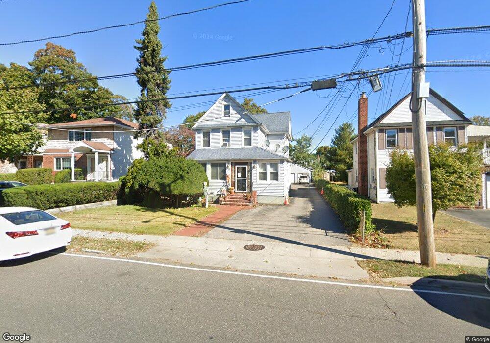
749 Scranton Ave East Rockaway, NY 11518
Estimated Value: $817,885 - $834,000
--
Bed
2
Baths
1,870
Sq Ft
$442/Sq Ft
Est. Value
About This Home
This home is located at 749 Scranton Ave, East Rockaway, NY 11518 and is currently estimated at $825,943, approximately $441 per square foot. 749 Scranton Ave is a home located in Nassau County with nearby schools including East Rockaway Junior/Senior High School and Our Lady Of Peace School.
Ownership History
Date
Name
Owned For
Owner Type
Purchase Details
Closed on
Dec 9, 2005
Sold by
Rappaport Jason
Bought by
Cruz Edwin
Current Estimated Value
Purchase Details
Closed on
Mar 14, 2002
Sold by
Ober Trudy
Bought by
Rappaport Jason
Purchase Details
Closed on
Feb 1, 2000
Sold by
Bey Henry R and Bey Carole
Bought by
Ober Trudy
Home Financials for this Owner
Home Financials are based on the most recent Mortgage that was taken out on this home.
Original Mortgage
$100,100
Interest Rate
7.7%
Mortgage Type
Purchase Money Mortgage
Create a Home Valuation Report for This Property
The Home Valuation Report is an in-depth analysis detailing your home's value as well as a comparison with similar homes in the area
Home Values in the Area
Average Home Value in this Area
Purchase History
| Date | Buyer | Sale Price | Title Company |
|---|---|---|---|
| Cruz Edwin | $595,000 | -- | |
| Rappaport Jason | $375,000 | Kenneth Schwartz | |
| Ober Trudy | $255,000 | First American Title Ins Co |
Source: Public Records
Mortgage History
| Date | Status | Borrower | Loan Amount |
|---|---|---|---|
| Previous Owner | Ober Trudy | $100,100 |
Source: Public Records
Tax History Compared to Growth
Tax History
| Year | Tax Paid | Tax Assessment Tax Assessment Total Assessment is a certain percentage of the fair market value that is determined by local assessors to be the total taxable value of land and additions on the property. | Land | Improvement |
|---|---|---|---|---|
| 2025 | $13,613 | $552 | $247 | $305 |
| 2024 | $2,255 | $552 | $247 | $305 |
| 2023 | $13,904 | $552 | $247 | $305 |
| 2022 | $13,904 | $552 | $247 | $305 |
| 2021 | $20,815 | $536 | $240 | $296 |
| 2020 | $14,597 | $951 | $424 | $527 |
| 2019 | $15,257 | $951 | $424 | $527 |
| 2018 | $14,166 | $951 | $0 | $0 |
| 2017 | $10,416 | $951 | $424 | $527 |
| 2016 | $12,588 | $951 | $424 | $527 |
| 2015 | $2,130 | $951 | $424 | $527 |
| 2014 | $2,130 | $951 | $424 | $527 |
| 2013 | $1,982 | $951 | $424 | $527 |
Source: Public Records
Map
Nearby Homes
- 390 Atlantic Ave
- 49 Waldo Ave
- 315 Atlantic Ave
- 315 Atlantic Ave Unit 1A
- 315 Atlantic Ave Unit 2G
- 320 Atlantic Ave Unit D2
- 320 Atlantic Ave Unit A12
- 320 Atlantic Ave Unit B4
- 1 George Place
- 41 Carman Ave
- 490 Atlantic Ave Unit 103
- 490 Atlantic Ave Unit 218
- 490 Atlantic Ave Unit 330
- 290 Atlantic Ave Unit 211
- 290 Atlantic Ave Unit 245
- 8 Sachem St
- 1 Alexine Ave
- 280 Atlantic Ave Unit 140
- 169 Spencer Ave
- 17 Sachem St
- 751 Scranton Ave
- 745 Scranton Ave
- 745 Scranton Ave Unit 2
- 741 Scranton Ave
- 755 Scranton Ave
- 735 Scranton Ave
- 16 Columbia Ave
- 387 Atlantic Ave
- 738 Scranton Ave
- 20 Columbia Ave
- 24 Columbia Ave
- 12 Columbia Ave
- 736 Scranton Ave
- 6 Columbia Ave
- 732 Scranton Ave
- 731 Scranton Ave
- 28 Columbia Ave
- 375 Atlantic Ave
- 728 Scranton Ave
- 727 Scranton Ave