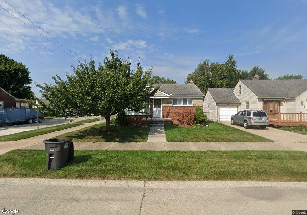
7490 Huron St Taylor, MI 48180
Estimated Value: $164,240 - $199,000
2
Beds
2
Baths
1,050
Sq Ft
$172/Sq Ft
Est. Value
About This Home
This home is located at 7490 Huron St, Taylor, MI 48180 and is currently estimated at $181,060, approximately $172 per square foot. 7490 Huron St is a home located in Wayne County with nearby schools including Blair Moody Elementary School, Robert J. West Middle School, and Cabrini Elementary & Middle School.
Ownership History
Date
Name
Owned For
Owner Type
Purchase Details
Closed on
Sep 22, 2021
Sold by
Thomas Kathleen E
Bought by
Thomas Craig P and Thomas Kathleen E
Current Estimated Value
Purchase Details
Closed on
Apr 28, 2008
Sold by
Lemus Richard and Lemus Julie L
Bought by
Thomas Craig P
Home Financials for this Owner
Home Financials are based on the most recent Mortgage that was taken out on this home.
Original Mortgage
$94,905
Outstanding Balance
$60,260
Interest Rate
5.93%
Mortgage Type
Purchase Money Mortgage
Estimated Equity
$120,800
Purchase Details
Closed on
Jun 8, 2006
Sold by
Hart Todd
Bought by
Hsbc Mortgage Services Inc
Purchase Details
Closed on
Mar 12, 2004
Sold by
Hart Annabelle M
Bought by
Hart Todd
Create a Home Valuation Report for This Property
The Home Valuation Report is an in-depth analysis detailing your home's value as well as a comparison with similar homes in the area
Home Values in the Area
Average Home Value in this Area
Purchase History
| Date | Buyer | Sale Price | Title Company |
|---|---|---|---|
| Thomas Craig P | -- | None Available | |
| Thomas Craig P | $99,900 | Michigan Title Insurance Age | |
| Lemus Richard | -- | Michigan Title Insurance Age | |
| Hsbc Mortgage Services Inc | $110,171 | None Available | |
| Hart Todd | $110,000 | -- |
Source: Public Records
Mortgage History
| Date | Status | Borrower | Loan Amount |
|---|---|---|---|
| Open | Thomas Craig P | $94,905 |
Source: Public Records
Tax History
| Year | Tax Paid | Tax Assessment Tax Assessment Total Assessment is a certain percentage of the fair market value that is determined by local assessors to be the total taxable value of land and additions on the property. | Land | Improvement |
|---|---|---|---|---|
| 2025 | $1,813 | $80,700 | $0 | $0 |
| 2024 | $1,756 | $75,100 | $0 | $0 |
| 2023 | $1,676 | $64,400 | $0 | $0 |
| 2022 | $1,676 | $58,400 | $0 | $0 |
| 2021 | $1,842 | $51,600 | $0 | $0 |
| 2020 | $1,823 | $48,900 | $0 | $0 |
| 2019 | $182,322 | $39,900 | $0 | $0 |
| 2018 | $1,439 | $35,700 | $0 | $0 |
| 2017 | $775 | $35,700 | $0 | $0 |
| 2016 | $1,776 | $34,700 | $0 | $0 |
| 2015 | $3,251 | $33,200 | $0 | $0 |
| 2013 | $3,240 | $33,000 | $0 | $0 |
| 2012 | $1,416 | $33,000 | $9,300 | $23,700 |
Source: Public Records
Map
Nearby Homes
- 7124 Weddel St
- 7580 Mayfair St
- 7120 Jackson St
- 7179 Ziegler St
- 6700 Jackson St
- 6485 Huron St
- 20916 Pinecrest St
- 7854 Jackson St
- 20233 Pinecrest St
- 7972 Hipp St
- 21144 Pinecrest St
- 7210 Buckingham Ave
- 20234 Champaign St
- 7571 William St
- 6730 Buckingham Ave
- 8281 Huron St
- 8711 Jackson St
- 20548 Lockwood St
- 7221 Winona Ave
- 8018 Monroe Blvd
Your Personal Tour Guide
Ask me questions while you tour the home.