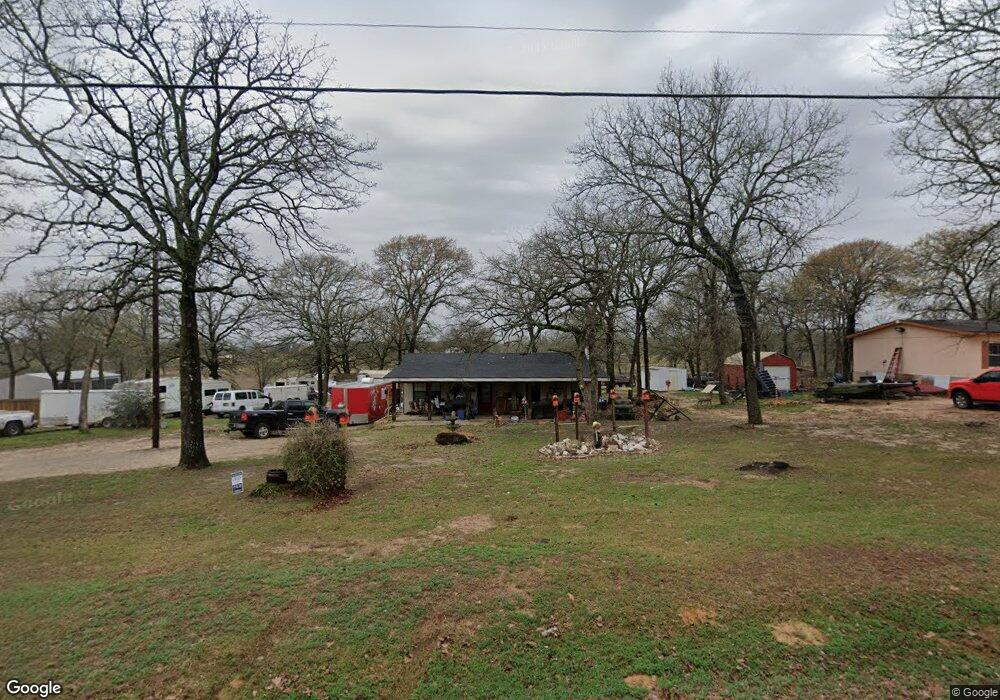
7492 Land Grant Trail Athens, TX 75751
Estimated Value: $98,396 - $240,000
--
Bed
1
Bath
800
Sq Ft
$212/Sq Ft
Est. Value
About This Home
This home is located at 7492 Land Grant Trail, Athens, TX 75751 and is currently estimated at $169,599, approximately $211 per square foot. 7492 Land Grant Trail is a home located in Henderson County with nearby schools including Cross Roads J High School.
Ownership History
Date
Name
Owned For
Owner Type
Purchase Details
Closed on
Jul 7, 2017
Sold by
Young Cindy
Bought by
Nuckolls Cindy and Nuckolls Garrett
Current Estimated Value
Purchase Details
Closed on
Aug 19, 2005
Sold by
Hancock R L and Hancock Lucille
Bought by
Manning Melissa and Manning Louise
Home Financials for this Owner
Home Financials are based on the most recent Mortgage that was taken out on this home.
Original Mortgage
$8,000
Interest Rate
5.81%
Mortgage Type
Purchase Money Mortgage
Purchase Details
Closed on
Oct 15, 2004
Sold by
Shearer David and Sharon Putnam
Bought by
Nuckolls Cindy and Or Garrett
Purchase Details
Closed on
Aug 1, 1994
Sold by
Chandler Jack
Bought by
Nuckolls Cindy and Or Garrett
Create a Home Valuation Report for This Property
The Home Valuation Report is an in-depth analysis detailing your home's value as well as a comparison with similar homes in the area
Home Values in the Area
Average Home Value in this Area
Purchase History
| Date | Buyer | Sale Price | Title Company |
|---|---|---|---|
| Nuckolls Cindy | -- | None Available | |
| Manning Melissa | -- | None Available | |
| Nuckolls Cindy | -- | -- | |
| Nuckolls Cindy | -- | -- |
Source: Public Records
Mortgage History
| Date | Status | Borrower | Loan Amount |
|---|---|---|---|
| Previous Owner | Manning Melissa | $8,000 |
Source: Public Records
Tax History Compared to Growth
Tax History
| Year | Tax Paid | Tax Assessment Tax Assessment Total Assessment is a certain percentage of the fair market value that is determined by local assessors to be the total taxable value of land and additions on the property. | Land | Improvement |
|---|---|---|---|---|
| 2025 | $172 | $66,324 | $3,504 | $62,820 |
| 2024 | $172 | $60,680 | $3,504 | $62,820 |
| 2023 | $778 | $55,164 | $3,504 | $52,826 |
| 2022 | $705 | $52,700 | $3,510 | $49,190 |
| 2021 | $539 | $49,480 | $3,510 | $45,970 |
| 2020 | $463 | $48,150 | $3,510 | $44,640 |
| 2019 | $723 | $37,680 | $3,510 | $34,170 |
| 2018 | $827 | $44,150 | $3,510 | $40,640 |
| 2017 | $813 | $43,360 | $3,510 | $39,850 |
| 2016 | $813 | $43,360 | $3,510 | $39,850 |
| 2015 | $479 | $43,360 | $3,510 | $39,850 |
| 2014 | $588 | $43,360 | $3,510 | $39,850 |
Source: Public Records
Map
Nearby Homes
- 7480 Land Grant Trail
- 7518 Land Grant Trail
- 7552 Land Grant Trail
- 7476 Land Grant Trail
- 7572 Buggy Hub Trail
- 7436 Land Grant Trail
- 304 Brentwood Dr
- 7501 Ranch Rd
- 306 306 Brentwood Dr
- 300 Brentwood Dr
- 7540 Buggy Hub Trail
- 7593 Ranch Rd
- 7549 Buggy Hub Trail
- 6916 Wagontree Trail
- 308 Brentwood Dr
- 210 Brentwood Dr
- 7421 Land Grant Trail
- 7527 Buggy Hub Trail
- 310 Brentwood Dr