Estimated Value: $180,000 - $290,000
4
Beds
1
Bath
1,872
Sq Ft
$114/Sq Ft
Est. Value
About This Home
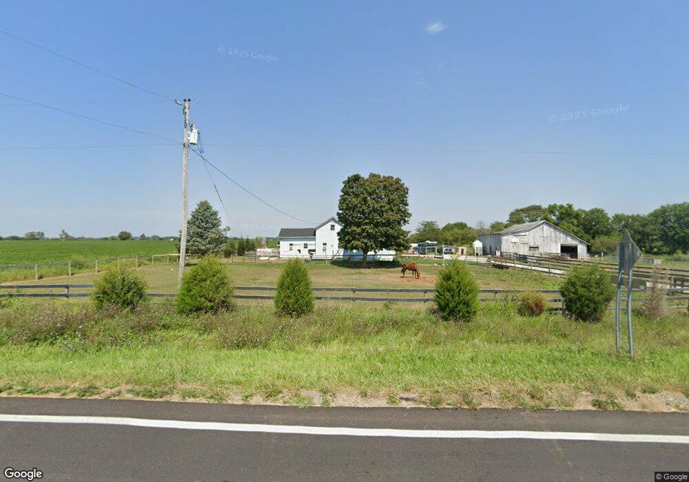
This home is located at 7495 State Route 122 W, Eaton, OH 45320 and is currently estimated at $214,159, approximately $114 per square foot. 7495 State Route 122 W is a home located in Preble County with nearby schools including National Trail Elementary School, National Trail Middle School, and National Trail High School.
Ownership History
Date
Name
Owned For
Owner Type
Purchase Details
Closed on
Sep 9, 2013
Sold by
Yeazel James R and Yeazel Christina Ann
Bought by
Reaver Brandon E and Lowery Bethany K
Current Estimated Value
Home Financials for this Owner
Home Financials are based on the most recent Mortgage that was taken out on this home.
Original Mortgage
$74,489
Interest Rate
4.39%
Mortgage Type
New Conventional
Create a Home Valuation Report for This Property
The Home Valuation Report is an in-depth analysis detailing your home's value as well as a comparison with similar homes in the area
Home Values in the Area
Average Home Value in this Area
Purchase History
| Date | Buyer | Sale Price | Title Company |
|---|---|---|---|
| Reaver Brandon E | $73,000 | Vantage Land Title |
Source: Public Records
Mortgage History
| Date | Status | Borrower | Loan Amount |
|---|---|---|---|
| Closed | Reaver Brandon E | $74,489 |
Source: Public Records
Tax History Compared to Growth
Tax History
| Year | Tax Paid | Tax Assessment Tax Assessment Total Assessment is a certain percentage of the fair market value that is determined by local assessors to be the total taxable value of land and additions on the property. | Land | Improvement |
|---|---|---|---|---|
| 2024 | $1,871 | $56,390 | $12,740 | $43,650 |
| 2023 | $1,871 | $56,390 | $12,740 | $43,650 |
| 2022 | $1,714 | $47,080 | $11,760 | $35,320 |
| 2021 | $1,815 | $47,080 | $11,760 | $35,320 |
| 2020 | $1,693 | $47,080 | $11,760 | $35,320 |
| 2019 | $1,076 | $29,790 | $10,050 | $19,740 |
| 2018 | $1,117 | $29,790 | $10,050 | $19,740 |
| 2017 | $1,042 | $29,790 | $10,050 | $19,740 |
| 2016 | $923 | $26,400 | $9,770 | $16,630 |
| 2014 | $972 | $26,400 | $9,770 | $16,630 |
| 2013 | $972 | $26,390 | $9,765 | $16,625 |
Source: Public Records
Map
Nearby Homes
- 1228 W Florence Campbellstown Rd
- 5835 Crawfordsville Campbellstown Rd
- 7897 4 Mile State Line Rd
- 221 W Main St
- 4623 Crawfordsville Campbellstown Rd
- 3127 Upshur Northern Rd
- 4141 Crawfordsville Campbellstown Rd
- 5283 W 35 Us
- 5.71A Greenmount Pike
- 4741 Wolverton Rd
- 4.92 Niewoehner Rd
- 55 Kastrup Dr
- 6670 Murray Rd
- 103 Fiord Dr
- 19 Lakengren Dr
- 5829 Watt Rd
- 122 Saxon Cove
- 45 Long Dr
- 0 State Line Rd
- 0 & 00 Washington Jackson Rd
- 1 Concord Fairhaven Rd
- 7393 State Route 122 W
- 89 Concord Fairhaven Rd
- 7775 State Route 122 W
- 7982 State Route 122 W
- 7957 State Route 122 W
- 6971 State Route 122 W
- 6945 State Route 122 W
- 6939 State Route 122 W
- 6911 Ohio 122
- 6911 State Route 122 W
- 6911 State Route 122 W
- 6825 State Route 122 W
- 6826 State Route 122 W
- 6793 State Route 122 W
- 6770 State Route 122 W
- 6770 Ohio 122
- 6781 State Route 122 W
- 6751 State Route 122 W
- 6751 Ohio 122