7495 Us Highway 285 Morrison, CO 80465
Homestead NeighborhoodEstimated Value: $1,848,143 - $2,115,000
4
Beds
5
Baths
5,135
Sq Ft
$380/Sq Ft
Est. Value
About This Home
This home is located at 7495 Us Highway 285, Morrison, CO 80465 and is currently estimated at $1,951,286, approximately $379 per square foot. 7495 Us Highway 285 is a home located in Jefferson County with nearby schools including Marshdale Elementary School, West Jefferson Middle School, and Conifer Senior High School.
Ownership History
Date
Name
Owned For
Owner Type
Purchase Details
Closed on
Nov 6, 2020
Sold by
Kirkham Edward J
Bought by
Kern Pat and Levine Alison
Current Estimated Value
Home Financials for this Owner
Home Financials are based on the most recent Mortgage that was taken out on this home.
Original Mortgage
$1,305,778
Outstanding Balance
$1,161,957
Interest Rate
2.8%
Mortgage Type
VA
Estimated Equity
$789,329
Purchase Details
Closed on
Mar 31, 2015
Sold by
Jurak Joseph R
Bought by
Kirkham Edward J
Home Financials for this Owner
Home Financials are based on the most recent Mortgage that was taken out on this home.
Original Mortgage
$1,069,760
Interest Rate
5%
Mortgage Type
Seller Take Back
Purchase Details
Closed on
Oct 31, 2001
Sold by
Engwis Jan J and Engwis Karen L
Bought by
Jurak Joseph R
Create a Home Valuation Report for This Property
The Home Valuation Report is an in-depth analysis detailing your home's value as well as a comparison with similar homes in the area
Home Values in the Area
Average Home Value in this Area
Purchase History
| Date | Buyer | Sale Price | Title Company |
|---|---|---|---|
| Kern Pat | $1,515,000 | Fitco | |
| Kirkham Edward J | $1,200,000 | Chicago Title | |
| Jurak Joseph R | $405,000 | Land Title |
Source: Public Records
Mortgage History
| Date | Status | Borrower | Loan Amount |
|---|---|---|---|
| Open | Kern Pat | $1,305,778 | |
| Previous Owner | Kirkham Edward J | $1,069,760 |
Source: Public Records
Tax History
| Year | Tax Paid | Tax Assessment Tax Assessment Total Assessment is a certain percentage of the fair market value that is determined by local assessors to be the total taxable value of land and additions on the property. | Land | Improvement |
|---|---|---|---|---|
| 2024 | $10,959 | $123,704 | $33,199 | $90,505 |
| 2023 | $10,959 | $123,704 | $33,199 | $90,505 |
| 2022 | $8,848 | $98,446 | $19,340 | $79,106 |
| 2021 | $8,920 | $101,280 | $19,897 | $81,383 |
| 2020 | $8,231 | $93,710 | $16,307 | $77,403 |
| 2019 | $8,110 | $93,710 | $16,307 | $77,403 |
| 2018 | $6,789 | $75,815 | $15,249 | $60,566 |
| 2017 | $5,957 | $75,815 | $15,249 | $60,566 |
| 2016 | $5,093 | $60,512 | $14,272 | $46,240 |
| 2015 | $4,804 | $60,512 | $14,272 | $46,240 |
| 2014 | $4,804 | $53,489 | $15,743 | $37,746 |
Source: Public Records
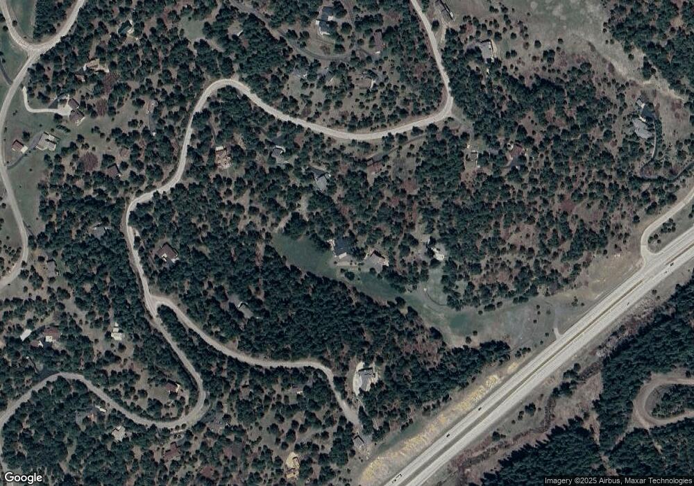
Map
Nearby Homes
- 7262 S Sourdough Dr
- 7307 S Settlers Dr
- 7552 Surrey Dr
- 21626 Lucky Star Dr
- 7333 Plowsher Way
- 8045 S Wagon Wheel Rd
- 8036 Settlers Dr
- 21965 High Springs Trail
- 22056 High Spring Trail
- 7438 S Turkey Creek Rd
- 7559 S Turkey Creek Rd
- 8001 S Homesteader Dr
- 8111 S Homesteader Dr
- 8066 Federation Dr
- 8220 Iowa Gulch Rd
- 6530 Ridgeview Dr
- 22354 Park Ln
- 19756 Flint Ln
- 6498 S Turkey Creek Rd
- 6616 High Dr
- 7372 S Sourdough Dr
- 7362 S Sourdough Dr
- 7455 Us Highway 285
- 7382 S Sourdough Dr
- 20646 Yoke Trail
- 20647 Yoke Trail
- 7392 S Sourdough Dr
- 7352 S Sourdough Dr
- 20648 Black Fox Ln
- 20658 Black Fox Ln
- 20607 Yoke Trail
- 7432 S Sourdough Dr
- 20686 Yoke Trail
- 7342 S Sourdough Dr
- 20638 Black Fox Ln
- 7502 S Sourdough Dr
- 7533 S Sourdough Dr
- 7383 S Sourdough Dr
- 20639 Black Fox Ln
- 20687 Yoke Trail
Your Personal Tour Guide
Ask me questions while you tour the home.