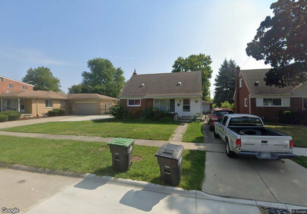
7497 Polk St Taylor, MI 48180
Estimated Value: $196,000 - $256,000
3
Beds
2
Baths
1,325
Sq Ft
$167/Sq Ft
Est. Value
About This Home
This home is located at 7497 Polk St, Taylor, MI 48180 and is currently estimated at $221,513, approximately $167 per square foot. 7497 Polk St is a home located in Wayne County with nearby schools including Blair Moody Elementary School and Robert J. West Middle School.
Ownership History
Date
Name
Owned For
Owner Type
Purchase Details
Closed on
Jul 25, 2022
Sold by
Osentoski Judy A
Bought by
Osentoski Cameron
Current Estimated Value
Home Financials for this Owner
Home Financials are based on the most recent Mortgage that was taken out on this home.
Original Mortgage
$143,220
Outstanding Balance
$137,069
Interest Rate
5.81%
Mortgage Type
VA
Estimated Equity
$84,444
Purchase Details
Closed on
Nov 23, 2011
Sold by
Ferrante Rose and The Estate Of Maria Tomel
Bought by
Osentoski Judy A
Create a Home Valuation Report for This Property
The Home Valuation Report is an in-depth analysis detailing your home's value as well as a comparison with similar homes in the area
Home Values in the Area
Average Home Value in this Area
Purchase History
| Date | Buyer | Sale Price | Title Company |
|---|---|---|---|
| Osentoski Cameron | $140,000 | None Listed On Document | |
| Osentoski Judy A | $59,900 | Michigan Title Insurance Age |
Source: Public Records
Mortgage History
| Date | Status | Borrower | Loan Amount |
|---|---|---|---|
| Open | Osentoski Cameron | $143,220 |
Source: Public Records
Tax History Compared to Growth
Tax History
| Year | Tax Paid | Tax Assessment Tax Assessment Total Assessment is a certain percentage of the fair market value that is determined by local assessors to be the total taxable value of land and additions on the property. | Land | Improvement |
|---|---|---|---|---|
| 2025 | $2,142 | $104,000 | $0 | $0 |
| 2024 | $2,142 | $97,000 | $0 | $0 |
| 2023 | $2,044 | $83,400 | $0 | $0 |
| 2022 | $2,044 | $75,400 | $0 | $0 |
| 2021 | $2,179 | $64,800 | $0 | $0 |
| 2020 | $2,157 | $61,400 | $0 | $0 |
| 2019 | $215,698 | $50,400 | $0 | $0 |
| 2018 | $1,704 | $42,600 | $0 | $0 |
| 2017 | $913 | $42,600 | $0 | $0 |
| 2016 | $2,100 | $41,500 | $0 | $0 |
| 2015 | $3,820 | $38,300 | $0 | $0 |
| 2013 | $3,800 | $38,800 | $0 | $0 |
| 2012 | $1,694 | $38,200 | $9,800 | $28,400 |
Source: Public Records
Map
Nearby Homes
- 6911 Polk St
- 7580 Mayfair St
- 6724 Polk St
- 7564 Clippert St
- 7267 William St
- 7854 Jackson St
- 6485 Huron St
- 8025 Mayfair St
- 7584 William St
- 6640 Jackson St
- 7847 William St
- 20234 Champaign St
- 7924 Pelham Rd
- 7868 Robinson Ave
- 7190 Buckingham Ave
- 7210 Buckingham Ave
- 7866 Katherine St
- 22028 Guidot St
- 19249 Pinecrest Dr
- 6568 Balfour Ave