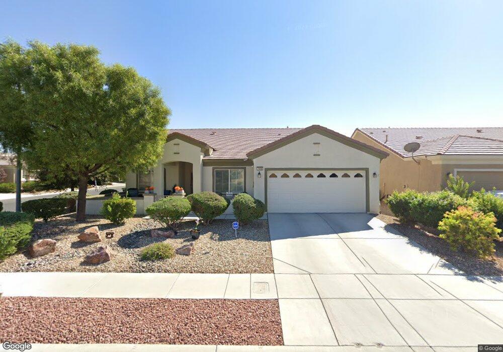
7498 Widewing Dr North Las Vegas, NV 89084
Aliante NeighborhoodEstimated Value: $441,413 - $491,000
2
Beds
2
Baths
2,104
Sq Ft
$225/Sq Ft
Est. Value
About This Home
This home is located at 7498 Widewing Dr, North Las Vegas, NV 89084 and is currently estimated at $473,853, approximately $225 per square foot. 7498 Widewing Dr is a home located in Clark County with nearby schools including Vincent L. Triggs Elementary School, Anthony Saville Middle School, and Shadow Ridge High School.
Ownership History
Date
Name
Owned For
Owner Type
Purchase Details
Closed on
Oct 14, 2008
Sold by
Howard James A and Howard Deborah D
Bought by
Howard Ii James A and Howard Deborah D
Current Estimated Value
Purchase Details
Closed on
Jun 26, 2007
Sold by
Pn Ii Inc
Bought by
Howard Ii James A and Howard Deborah D
Home Financials for this Owner
Home Financials are based on the most recent Mortgage that was taken out on this home.
Original Mortgage
$313,600
Outstanding Balance
$193,022
Interest Rate
6.21%
Mortgage Type
Unknown
Estimated Equity
$280,831
Purchase Details
Closed on
Feb 28, 2007
Sold by
North Valley Enterprises Llc
Bought by
Pn Ii Inc
Create a Home Valuation Report for This Property
The Home Valuation Report is an in-depth analysis detailing your home's value as well as a comparison with similar homes in the area
Home Values in the Area
Average Home Value in this Area
Purchase History
| Date | Buyer | Sale Price | Title Company |
|---|---|---|---|
| Howard Ii James A | -- | None Available | |
| Howard Ii James A | $392,000 | Lawyers Title Of Nevada | |
| Pn Ii Inc | $2,443,580 | First Amer Title Co Of Nv |
Source: Public Records
Mortgage History
| Date | Status | Borrower | Loan Amount |
|---|---|---|---|
| Open | Howard Ii James A | $313,600 |
Source: Public Records
Tax History Compared to Growth
Tax History
| Year | Tax Paid | Tax Assessment Tax Assessment Total Assessment is a certain percentage of the fair market value that is determined by local assessors to be the total taxable value of land and additions on the property. | Land | Improvement |
|---|---|---|---|---|
| 2025 | $2,743 | $123,402 | $31,238 | $92,164 |
| 2024 | $2,663 | $123,402 | $31,238 | $92,164 |
| 2023 | $2,663 | $121,245 | $34,545 | $86,700 |
| 2022 | $2,586 | $108,153 | $29,033 | $79,120 |
| 2021 | $2,511 | $102,302 | $27,195 | $75,107 |
| 2020 | $2,431 | $100,222 | $26,093 | $74,129 |
| 2019 | $2,360 | $98,445 | $25,725 | $72,720 |
| 2018 | $2,291 | $91,836 | $22,050 | $69,786 |
| 2017 | $3,116 | $92,029 | $22,400 | $69,629 |
| 2016 | $2,170 | $86,630 | $16,975 | $69,655 |
| 2015 | $2,166 | $70,516 | $14,280 | $56,236 |
| 2014 | $2,098 | $59,867 | $11,200 | $48,667 |
Source: Public Records
Map
Nearby Homes
- 7556 Wingspread St
- 7465 Widewing Dr
- 7453 Widewing Dr
- 7831 Nestor Creek Ln
- 7543 Marie Brook Ln
- 1885 Vass Springs Place
- 7429 Widewing Dr
- 2509 Great Auk Ave
- 7509 Chaffinch St
- 2525 Great Auk Ave
- 7460 Chaffinch St
- 2508 Mourning Warbler Ave
- 7511 Phoenix Falls St
- 7469 Crested Quail St
- 7751 Widewing Dr
- 7757 Coast Jay St
- 7713 Songster St
- 7773 Wading Bird Way
- 1943 Marks River Place
- 7531 Bryan Harbor Ln
- 7494 Widewing Dr
- 2232 Night Parrot Ave
- 2236 Night Parrot Ave
- 2236 Night Parrot Ave Unit n/a
- 7555 Wingspread St
- 2228 Night Parrot Ave
- 2224 Night Parrot Ave
- 2224 Night Parrot Ave Unit n/a
- 7559 Wingspread St
- 7560 Widewing Dr
- 2220 Night Parrot Ave
- 7560 Wingspread St
- 7490 Widewing Dr
- 7563 Wingspread St
- 7564 Widewing Dr
- 7565 Widewing Dr
- 7448 Grassquit St
- 7564 Wingspread St Unit house
- 2216 Night Parrot Ave
- 7568 Widewing Dr