7499 S 5720 W West Jordan, UT 84081
Cobble Creek NeighborhoodEstimated Value: $648,000 - $784,864
3
Beds
3
Baths
2,197
Sq Ft
$336/Sq Ft
Est. Value
About This Home
This home is located at 7499 S 5720 W, West Jordan, UT 84081 and is currently estimated at $738,716, approximately $336 per square foot. 7499 S 5720 W is a home with nearby schools including Falcon Ridge School, Sunset Ridge Middle School, and Copper Hills High School.
Ownership History
Date
Name
Owned For
Owner Type
Purchase Details
Closed on
Mar 22, 2021
Sold by
Pham Thang V and Nguyen Hong Lv
Bought by
Diep Lien Thi and Pham Thang
Current Estimated Value
Home Financials for this Owner
Home Financials are based on the most recent Mortgage that was taken out on this home.
Original Mortgage
$386,000
Outstanding Balance
$346,197
Interest Rate
2.73%
Mortgage Type
New Conventional
Estimated Equity
$392,519
Purchase Details
Closed on
Aug 13, 2020
Sold by
Diep Lien Thi
Bought by
Diep Lien Thi and Lien Thi Diep Living Trust
Purchase Details
Closed on
Aug 11, 2017
Sold by
Diep Lien Thi and Pham Thang V
Bought by
Diep Lien Thi and Pham Thang V
Home Financials for this Owner
Home Financials are based on the most recent Mortgage that was taken out on this home.
Original Mortgage
$355,000
Interest Rate
3.88%
Mortgage Type
New Conventional
Create a Home Valuation Report for This Property
The Home Valuation Report is an in-depth analysis detailing your home's value as well as a comparison with similar homes in the area
Home Values in the Area
Average Home Value in this Area
Purchase History
| Date | Buyer | Sale Price | Title Company |
|---|---|---|---|
| Diep Lien Thi | -- | Gt Title Services Slc | |
| Diep Lien Thi | -- | None Available | |
| Diep Lien Thi | -- | Vanguard Title | |
| Diep Lien Thi | -- | Cottonwood Title | |
| Ivory Homes Ltd | -- | Cottonwood Title |
Source: Public Records
Mortgage History
| Date | Status | Borrower | Loan Amount |
|---|---|---|---|
| Open | Diep Lien Thi | $386,000 | |
| Closed | Diep Lien Thi | $355,000 |
Source: Public Records
Tax History Compared to Growth
Tax History
| Year | Tax Paid | Tax Assessment Tax Assessment Total Assessment is a certain percentage of the fair market value that is determined by local assessors to be the total taxable value of land and additions on the property. | Land | Improvement |
|---|---|---|---|---|
| 2025 | $3,656 | $747,900 | $165,300 | $582,600 |
| 2024 | $3,656 | $703,500 | $158,900 | $544,600 |
| 2023 | $3,673 | $666,100 | $152,800 | $513,300 |
| 2022 | $4,012 | $715,700 | $149,800 | $565,900 |
| 2021 | $3,654 | $593,400 | $115,200 | $478,200 |
| 2020 | $3,331 | $507,600 | $106,900 | $400,700 |
| 2019 | $3,270 | $488,700 | $100,800 | $387,900 |
| 2018 | $3,034 | $449,800 | $100,800 | $349,000 |
| 2017 | $1,242 | $100,800 | $100,800 | $0 |
Source: Public Records
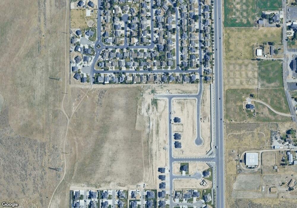
Map
Nearby Homes
- 7518 S 5720 W
- 7507 S 5680 W
- 6916 S Static Peak Dr
- 5644 W 7340 S
- Cleveland Plan at Bingham Heights
- McKinley Plan at Bingham Heights
- Ash Plan at Bingham Heights
- Cedar Plan at Bingham Heights
- Reagan Plan at Bingham Heights
- Monroe Plan at Bingham Heights
- Linden Plan at Bingham Heights
- Balsam Plan at Bingham Heights
- Eleanor Plan at Bingham Heights
- Kennedy Plan at Bingham Heights
- Merriwood Plan at Bingham Heights
- Aspen Plan at Bingham Heights
- Columbia Plan at Bingham Heights
- Spruce Pantry Plan at Bingham Heights
- Franklin Plan at Bingham Heights
- Roosevelt Plan at Bingham Heights