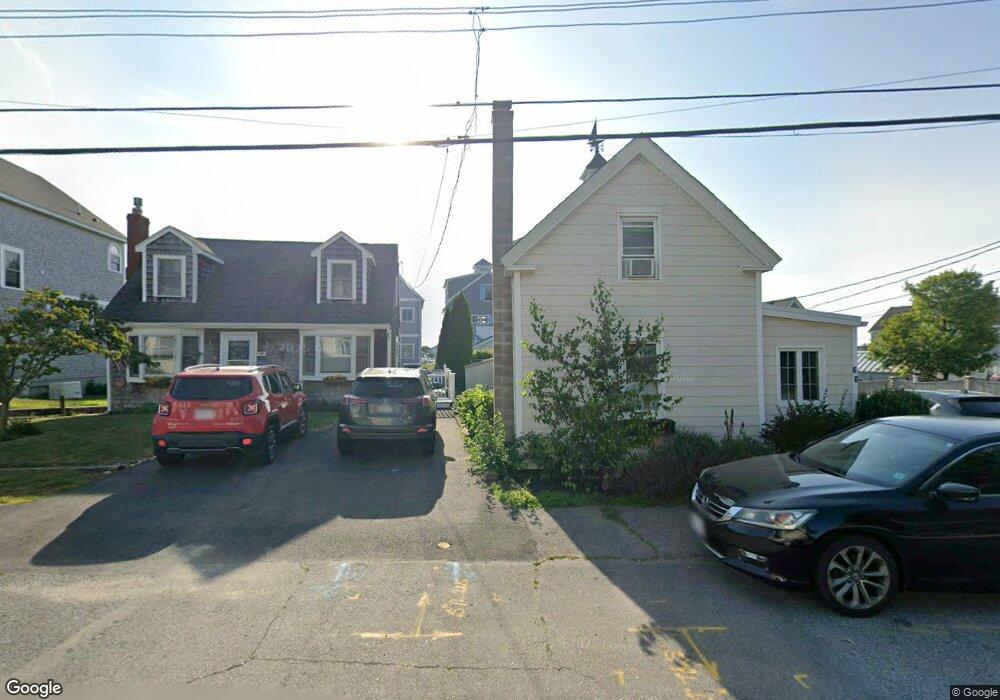
74B Marginal St Marshfield, MA 02050
Green Harbor-Cedar Crest NeighborhoodEstimated Value: $858,000 - $1,124,000
1
Bed
2
Baths
1,978
Sq Ft
$519/Sq Ft
Est. Value
About This Home
This home is located at 74B Marginal St, Marshfield, MA 02050 and is currently estimated at $1,025,715, approximately $518 per square foot. 74B Marginal St is a home with nearby schools including Governor Edward Winslow School, Furnace Brook Middle School, and Marshfield High School.
Ownership History
Date
Name
Owned For
Owner Type
Purchase Details
Closed on
Sep 30, 2022
Sold by
South Shore Rt and Hahoney
Bought by
Garyson Susan M
Current Estimated Value
Home Financials for this Owner
Home Financials are based on the most recent Mortgage that was taken out on this home.
Original Mortgage
$410,500
Outstanding Balance
$389,088
Interest Rate
4.5%
Mortgage Type
Adjustable Rate Mortgage/ARM
Estimated Equity
$636,627
Purchase Details
Closed on
Mar 6, 2020
Sold by
74B Marginal Street Rt and Armstrong
Bought by
South Shore Rt and Mahoney
Home Financials for this Owner
Home Financials are based on the most recent Mortgage that was taken out on this home.
Original Mortgage
$200,000
Interest Rate
3.72%
Mortgage Type
New Conventional
Purchase Details
Closed on
Feb 14, 2020
Sold by
Clemence Richard M
Bought by
74B Marginal Street Rt and Clemence
Home Financials for this Owner
Home Financials are based on the most recent Mortgage that was taken out on this home.
Original Mortgage
$200,000
Interest Rate
3.72%
Mortgage Type
New Conventional
Create a Home Valuation Report for This Property
The Home Valuation Report is an in-depth analysis detailing your home's value as well as a comparison with similar homes in the area
Home Values in the Area
Average Home Value in this Area
Purchase History
| Date | Buyer | Sale Price | Title Company |
|---|---|---|---|
| Garyson Susan M | -- | None Available | |
| Garyson Susan M | -- | None Available | |
| South Shore Rt | $340,000 | None Available | |
| South Shore Rt | $340,000 | None Available | |
| 74B Marginal Street Rt | $200,000 | None Available | |
| 74B Marginal Street Rt | $200,000 | None Available |
Source: Public Records
Mortgage History
| Date | Status | Borrower | Loan Amount |
|---|---|---|---|
| Open | Garyson Susan M | $410,500 | |
| Closed | Garyson Susan M | $410,500 | |
| Previous Owner | 74B Marginal Street Rt | $200,000 |
Source: Public Records
Tax History
| Year | Tax Paid | Tax Assessment Tax Assessment Total Assessment is a certain percentage of the fair market value that is determined by local assessors to be the total taxable value of land and additions on the property. | Land | Improvement |
|---|---|---|---|---|
| 2025 | $9,147 | $923,900 | $404,200 | $519,700 |
| 2024 | $8,872 | $853,900 | $382,100 | $471,800 |
| 2023 | $7,373 | $651,300 | $240,400 | $410,900 |
| 2022 | $7,098 | $548,100 | $196,700 | $351,400 |
| 2021 | $2,730 | $207,000 | $196,700 | $10,300 |
| 2020 | $2,759 | $207,000 | $196,700 | $10,300 |
| 2019 | $2,907 | $217,300 | $185,700 | $31,600 |
Source: Public Records
Map
Nearby Homes
- 106 Careswell St
- 78 Tower Ave
- 256 Ocean St
- 122 June St
- 71 Gurnet Rd
- 19 2nd Rd
- 116 Outlook Rd
- 145 Peterson Path
- 86 Barouche Dr
- 30 Chandler Dr
- 42 Carr Rd
- 38 Winthrop Dr
- 68 Abrams Hill Rd
- 236 Powder Point Ave
- 713 Webster St
- 387 Lot 2A Old Cove Rd
- 387 Lot 3A Old Cove Rd
- 387 Lot 4A Old Cove Rd
- 184 King Phillips Pathe
- 242 Enterprise St
- 74A Marginal St
- 76 Marginal St
- 66 Landing Rd
- 68 Marginal St
- 74 Marginal St
- 62 Landing Rd
- 80 Marginal St
- 62 Marginal St
- 60 Marginal St
- 60A Marginal St
- 79 Marginal St
- 88 Marginal St Unit House
- 88 Marginal St
- 71 Marginal St
- 67 Marginal St
- 56 Marginal St
- 75 Marginal St
- 75 Marginal St Unit 75
- 75 Marginal St Unit 1
- 87 Marginal St