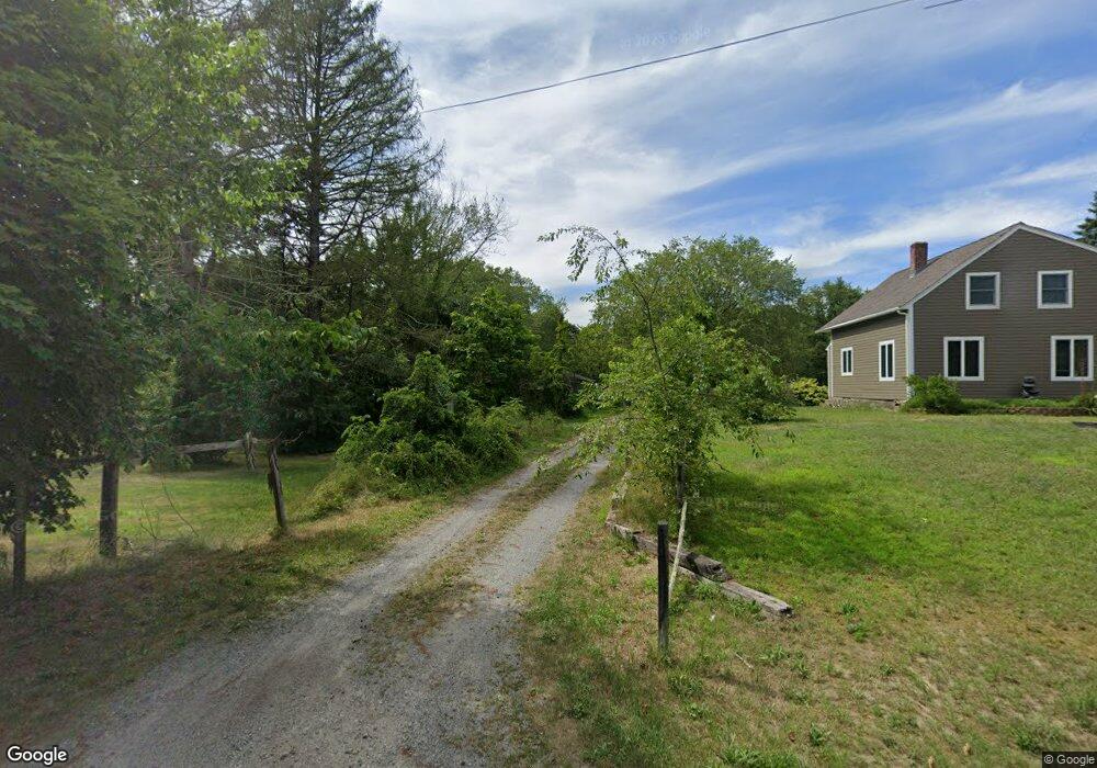
74R Chestnut St Rehoboth, MA 02769
Estimated Value: $472,000 - $563,000
2
Beds
2
Baths
1,279
Sq Ft
$401/Sq Ft
Est. Value
About This Home
This home is located at 74R Chestnut St, Rehoboth, MA 02769 and is currently estimated at $513,168, approximately $401 per square foot. 74R Chestnut St is a home located in Bristol County with nearby schools including Dighton-Rehoboth Regional High School and Cedar Brook School.
Ownership History
Date
Name
Owned For
Owner Type
Purchase Details
Closed on
Sep 8, 1998
Sold by
Dubree Dione M
Bought by
Mccathy Catherine
Current Estimated Value
Home Financials for this Owner
Home Financials are based on the most recent Mortgage that was taken out on this home.
Original Mortgage
$126,800
Outstanding Balance
$25,724
Interest Rate
6.9%
Mortgage Type
Purchase Money Mortgage
Estimated Equity
$487,444
Purchase Details
Closed on
Aug 19, 1996
Sold by
Salvo Land Trust Inc
Bought by
Dubree Dione M
Home Financials for this Owner
Home Financials are based on the most recent Mortgage that was taken out on this home.
Original Mortgage
$192,500
Interest Rate
8.08%
Mortgage Type
Purchase Money Mortgage
Create a Home Valuation Report for This Property
The Home Valuation Report is an in-depth analysis detailing your home's value as well as a comparison with similar homes in the area
Home Values in the Area
Average Home Value in this Area
Purchase History
| Date | Buyer | Sale Price | Title Company |
|---|---|---|---|
| Mccathy Catherine | $133,500 | -- | |
| Dubree Dione M | $105,500 | -- | |
| Salvo Land Trust Inc | $205,000 | -- |
Source: Public Records
Mortgage History
| Date | Status | Borrower | Loan Amount |
|---|---|---|---|
| Open | Salvo Land Trust Inc | $126,800 | |
| Previous Owner | Salvo Land Trust Inc | $192,500 | |
| Previous Owner | Salvo Land Trust Inc | $84,400 | |
| Previous Owner | Salvo Land Trust Inc | $25,000 |
Source: Public Records
Tax History
| Year | Tax Paid | Tax Assessment Tax Assessment Total Assessment is a certain percentage of the fair market value that is determined by local assessors to be the total taxable value of land and additions on the property. | Land | Improvement |
|---|---|---|---|---|
| 2025 | $4,198 | $376,500 | $193,500 | $183,000 |
| 2024 | $3,964 | $348,900 | $193,500 | $155,400 |
| 2023 | $3,916 | $338,200 | $189,500 | $148,700 |
| 2022 | $3,646 | $287,800 | $181,100 | $106,700 |
| 2021 | $3,622 | $273,600 | $164,800 | $108,800 |
| 2020 | $3,470 | $264,500 | $164,800 | $99,700 |
| 2018 | $3,052 | $255,000 | $157,000 | $98,000 |
| 2017 | $3,203 | $255,000 | $157,000 | $98,000 |
| 2016 | $3,098 | $255,000 | $157,000 | $98,000 |
Source: Public Records
Map
Nearby Homes
- 8 Linden Ln
- 8 Linden Ln
- 185 Moulton St
- 20 School St
- 111 Summer St
- 248 County
- 197 Chestnut St
- 42 Linden Ln
- 321 Winthrop St
- 46 Mikayla Ann Dr
- 145 Winthrop St
- 139 Winthrop St
- 0 Winter St
- 23 Bay State Rd
- 0 Winthrop St Unit 73180872
- 48 Broad St
- 19 Cedar St Unit 21
- 23 Colonial Way
- 349 Anawan St
- 67 Wheeler St
- 74 Chestnut St
- 78 Chestnut St
- 79 Chestnut St
- 8 Stoney Brook Rd
- 73 Chestnut St
- 4 Stoney Brook Rd
- 64 Chestnut St
- 85 Chestnut St
- 65 Chestnut St
- 56 Chestnut St
- 1 Stoney Brook Rd
- 9 Stoney Brook Rd
- 61 Chestnut St
- 52 Chestnut St
- 95 Chestnut St
- 88 Chestnut St
- 8 Lorson Ln
- 10 Lorson Ln
- 50 Chestnut St
- 14 Lorson Ln
Your Personal Tour Guide
Ask me questions while you tour the home.