75 Alice Ave Prudence Island, RI 02872
Prudence Island NeighborhoodEstimated Value: $315,000 - $528,000
3
Beds
1
Bath
1,030
Sq Ft
$398/Sq Ft
Est. Value
About This Home
This home is located at 75 Alice Ave, Prudence Island, RI 02872 and is currently estimated at $409,817, approximately $397 per square foot. 75 Alice Ave is a home located in Newport County with nearby schools including Portsmouth High School.
Ownership History
Date
Name
Owned For
Owner Type
Purchase Details
Closed on
Apr 17, 2003
Sold by
Johnson Norman and Clement Doreen
Bought by
Squatrito Melissa and Squatrito Rubert
Current Estimated Value
Home Financials for this Owner
Home Financials are based on the most recent Mortgage that was taken out on this home.
Original Mortgage
$124,000
Interest Rate
5.75%
Mortgage Type
Purchase Money Mortgage
Purchase Details
Closed on
Oct 20, 2000
Sold by
Kiernan Stephen M and Kiernan Susan L
Bought by
Clement Doreen K and Johnson Norman E
Home Financials for this Owner
Home Financials are based on the most recent Mortgage that was taken out on this home.
Original Mortgage
$106,875
Interest Rate
7.88%
Mortgage Type
Purchase Money Mortgage
Purchase Details
Closed on
Dec 1, 1997
Sold by
Sousa William A
Bought by
Kiernan Stephen M and Kiernan Susan
Create a Home Valuation Report for This Property
The Home Valuation Report is an in-depth analysis detailing your home's value as well as a comparison with similar homes in the area
Home Values in the Area
Average Home Value in this Area
Purchase History
| Date | Buyer | Sale Price | Title Company |
|---|---|---|---|
| Squatrito Melissa | $155,000 | -- | |
| Clement Doreen K | $112,500 | -- | |
| Kiernan Stephen M | $80,000 | -- |
Source: Public Records
Mortgage History
| Date | Status | Borrower | Loan Amount |
|---|---|---|---|
| Open | Kiernan Stephen M | $106,000 | |
| Closed | Kiernan Stephen M | $124,000 | |
| Previous Owner | Kiernan Stephen M | $127,000 | |
| Previous Owner | Kiernan Stephen M | $106,875 |
Source: Public Records
Tax History Compared to Growth
Tax History
| Year | Tax Paid | Tax Assessment Tax Assessment Total Assessment is a certain percentage of the fair market value that is determined by local assessors to be the total taxable value of land and additions on the property. | Land | Improvement |
|---|---|---|---|---|
| 2025 | $2,643 | $199,000 | $46,900 | $152,100 |
| 2024 | $2,623 | $199,000 | $46,900 | $152,100 |
| 2023 | $2,458 | $192,300 | $46,900 | $145,400 |
| 2022 | $2,220 | $142,700 | $37,600 | $105,100 |
| 2021 | $2,185 | $142,700 | $37,600 | $105,100 |
| 2020 | $2,150 | $142,700 | $37,600 | $105,100 |
| 2019 | $2,191 | $133,600 | $41,000 | $92,600 |
| 2018 | $2,134 | $133,600 | $41,000 | $92,600 |
| 2017 | $2,060 | $133,600 | $41,000 | $92,600 |
| 2016 | $1,906 | $119,100 | $41,000 | $78,100 |
| 2015 | $1,882 | $119,100 | $41,000 | $78,100 |
| 2014 | $1,882 | $119,100 | $41,000 | $78,100 |
Source: Public Records
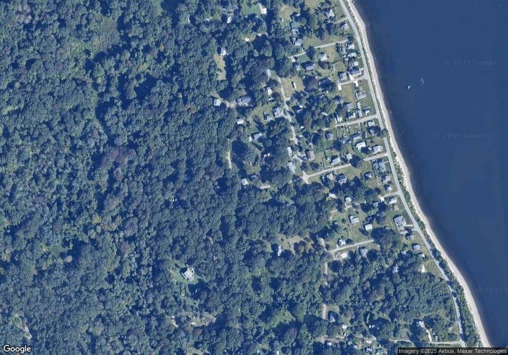
Map
Nearby Homes
- 125 Homestead Ave
- 0 Governor Paine Rd
- 33 Alden Ave
- 272 Carnegie Harbor Dr
- 178 Carnegie Harbor Dr
- 1 Tower Dr Unit 1106
- 1 Tower Dr Unit 1203
- 1 Tower Dr Unit 302
- 1 Tower Dr Unit 101
- 1 Tower Dr Unit 1806
- 1 Tower Dr Unit 406
- 1 Tower Dr Unit 1201
- 59 Carnegie Harbor Dr
- 4 Lookout Ln Unit 1
- 4 Lookout Ln
- 12 Lookout Ln
- 12 Lookout Ln Unit 3
- 0 Willow Ln Unit Leeward A
- 0 Willow Ln Unit Leeward B
- 44 Wimbledon Cir
- 121 Homestead Ave
- 121 Homestead Ln
- 0 Homestead Ave Unit 733997
- 0 Homestead Ave Unit 733998
- 0 Homestead Ave Unit 733996
- 0 Homestead Ave Unit 441398
- 0 Homestead Ave Unit 454851
- 0 Homestead Ave Unit 1376656
- 0 Homestead Ave Unit 952313
- 0 Homestead Ave Unit 1095745
- 0 Homestead Ave Unit 1043881
- 0 Homestead Ave Unit 1298480
- 0 Alice Ave
- 72 Holbrook Ave
- 76 Homestead Ave
- 142 Daniel Ave
- 112 Daniel Ave
- 0143 Daniel Ave
- 0146 Daniel Ave
- 75 Holbrook Ave