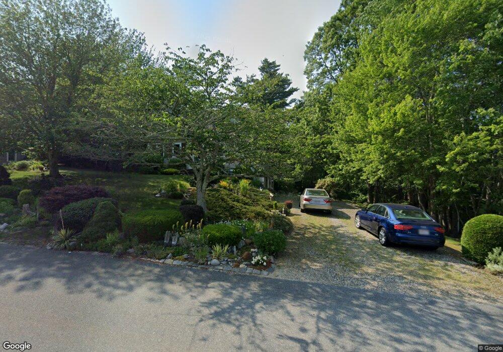
75 Andrews Way Plymouth, MA 02360
Estimated Value: $592,000 - $785,000
3
Beds
2
Baths
1,536
Sq Ft
$430/Sq Ft
Est. Value
About This Home
This home is located at 75 Andrews Way, Plymouth, MA 02360 and is currently estimated at $661,223, approximately $430 per square foot. 75 Andrews Way is a home located in Plymouth County with nearby schools including Indian Brook, Plymouth South Middle School, and Plymouth South High School.
Ownership History
Date
Name
Owned For
Owner Type
Purchase Details
Closed on
May 3, 2010
Sold by
Syer Gregory A and Syer Lauren
Bought by
Holt David F
Current Estimated Value
Home Financials for this Owner
Home Financials are based on the most recent Mortgage that was taken out on this home.
Original Mortgage
$115,000
Outstanding Balance
$76,853
Interest Rate
4.99%
Mortgage Type
Purchase Money Mortgage
Estimated Equity
$584,370
Purchase Details
Closed on
Apr 25, 2003
Sold by
Nevulis Mark J and Nevulis Heather M
Bought by
Syer Lauren and Syer Gregory A
Home Financials for this Owner
Home Financials are based on the most recent Mortgage that was taken out on this home.
Original Mortgage
$263,900
Interest Rate
5.64%
Mortgage Type
Purchase Money Mortgage
Purchase Details
Closed on
Sep 6, 1996
Sold by
Cort Michael S
Bought by
Nevulis Mark and Nevulis Heather M
Purchase Details
Closed on
Jun 26, 1996
Sold by
Tgs Rt and Tringle
Bought by
Cort Michael S
Create a Home Valuation Report for This Property
The Home Valuation Report is an in-depth analysis detailing your home's value as well as a comparison with similar homes in the area
Home Values in the Area
Average Home Value in this Area
Purchase History
| Date | Buyer | Sale Price | Title Company |
|---|---|---|---|
| Holt David F | $300,000 | -- | |
| Syer Lauren | $329,000 | -- | |
| Nevulis Mark | $124,900 | -- | |
| Cort Michael S | $35,000 | -- |
Source: Public Records
Mortgage History
| Date | Status | Borrower | Loan Amount |
|---|---|---|---|
| Open | Holt David F | $115,000 | |
| Previous Owner | Cort Michael S | $324,000 | |
| Previous Owner | Cort Michael S | $263,900 | |
| Previous Owner | Cort Michael S | $200,000 |
Source: Public Records
Tax History Compared to Growth
Tax History
| Year | Tax Paid | Tax Assessment Tax Assessment Total Assessment is a certain percentage of the fair market value that is determined by local assessors to be the total taxable value of land and additions on the property. | Land | Improvement |
|---|---|---|---|---|
| 2025 | $6,660 | $524,800 | $236,300 | $288,500 |
| 2024 | $6,346 | $493,100 | $215,400 | $277,700 |
| 2023 | $6,196 | $451,900 | $194,600 | $257,300 |
| 2022 | $5,907 | $382,800 | $183,400 | $199,400 |
| 2021 | $5,706 | $353,100 | $183,400 | $169,700 |
| 2020 | $5,471 | $334,600 | $166,900 | $167,700 |
| 2019 | $5,723 | $346,000 | $176,900 | $169,100 |
| 2018 | $5,484 | $333,200 | $164,400 | $168,800 |
| 2017 | $5,112 | $308,300 | $157,900 | $150,400 |
| 2016 | $4,547 | $279,500 | $127,900 | $151,600 |
| 2015 | $4,193 | $269,800 | $116,900 | $152,900 |
| 2014 | $4,012 | $265,200 | $116,900 | $148,300 |
Source: Public Records
Map
Nearby Homes
- 115 Andrews Way
- 39 Miter Dr Unit 8-1
- 82 Miter Dr Unit 2-1
- 24 Drum Dr Unit 24
- 88 Miter Dr Unit 1-1
- 90 Miter Dr Unit 1-3
- 91 Miter Dr Unit 18-1
- 91 Miter Dr Unit 16-1
- 91 Miter Dr Unit 18-2
- 91 Miter Dr Unit 16-3
- The Hickory Plan at Alden's Reach - Attached & Detached Single Family Homes
- The Pine Plan at Alden's Reach - Attached & Detached Single Family Homes
- The Oak Plan at Alden's Reach - Attached & Detached Single Family Homes
- The Spruce Plan at Alden's Reach - Attached & Detached Single Family Homes
- 91 Miter Dr Unit 3-2
- 91 Miter Dr Unit 25-2
- 87 Miter Dr Unit 6-1
- 40 Drum Dr Unit 40
- 79 Miter Dr Unit 7-2
- 83 Miter Dr Unit 6-3