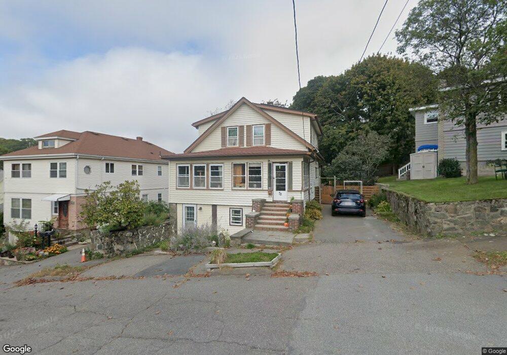
75 Barnstable St Swampscott, MA 01907
Estimated Value: $714,000 - $772,000
3
Beds
2
Baths
1,625
Sq Ft
$454/Sq Ft
Est. Value
About This Home
This home is located at 75 Barnstable St, Swampscott, MA 01907 and is currently estimated at $737,523, approximately $453 per square foot. 75 Barnstable St is a home located in Essex County with nearby schools including Swampscott Middle School and Swampscott High School.
Ownership History
Date
Name
Owned For
Owner Type
Purchase Details
Closed on
Jul 31, 2006
Sold by
Serebrovskaya Irina and Temkin Mark
Bought by
Callahan Shawn P and Callahan Grace Ellen
Current Estimated Value
Purchase Details
Closed on
Nov 13, 1996
Sold by
Bogus Arthur H and Bogus Lillian A
Bought by
Dulskiy Vladimir
Create a Home Valuation Report for This Property
The Home Valuation Report is an in-depth analysis detailing your home's value as well as a comparison with similar homes in the area
Home Values in the Area
Average Home Value in this Area
Purchase History
| Date | Buyer | Sale Price | Title Company |
|---|---|---|---|
| Callahan Shawn P | $350,000 | -- | |
| Callahan Shawn P | $350,000 | -- | |
| Dulskiy Vladimir | $155,000 | -- | |
| Dulskiy Vladimir | $155,000 | -- |
Source: Public Records
Mortgage History
| Date | Status | Borrower | Loan Amount |
|---|---|---|---|
| Open | Dulskiy Vladimir | $274,000 | |
| Closed | Dulskiy Vladimir | $26,000 |
Source: Public Records
Tax History Compared to Growth
Tax History
| Year | Tax Paid | Tax Assessment Tax Assessment Total Assessment is a certain percentage of the fair market value that is determined by local assessors to be the total taxable value of land and additions on the property. | Land | Improvement |
|---|---|---|---|---|
| 2025 | $7,225 | $629,900 | $289,300 | $340,600 |
| 2024 | $7,063 | $614,700 | $276,900 | $337,800 |
| 2023 | $6,824 | $581,300 | $264,500 | $316,800 |
| 2022 | $6,505 | $507,000 | $231,400 | $275,600 |
| 2021 | $6,687 | $484,600 | $214,900 | $269,700 |
| 2020 | $6,398 | $447,400 | $186,000 | $261,400 |
| 2019 | $6,109 | $401,900 | $140,500 | $261,400 |
| 2018 | $5,984 | $374,000 | $132,200 | $241,800 |
| 2017 | $6,041 | $346,200 | $124,000 | $222,200 |
| 2016 | $6,000 | $346,200 | $124,000 | $222,200 |
| 2015 | $5,795 | $337,900 | $115,700 | $222,200 |
| 2014 | $6,289 | $336,300 | $132,200 | $204,100 |
Source: Public Records
Map
Nearby Homes
- 51 Barnstable St
- 5 Summit View Dr
- 76 Stetson Ave
- 2 Gracie Ln Unit 4
- 10-12 Fairview Ave
- 306 Paradise Rd
- 445 Essex St Unit 304
- 8 Ryan Place
- 309 Paradise Rd
- 106 Norfolk Ave
- 100 Burpee Rd
- 98 Paradise Rd
- 80 Norfolk Ave Unit 1
- 189 Burrill St Unit 2
- 44 Cherry St Unit 2
- 29-31 Essex Ave Unit 2
- 30 Paradise Rd
- 140 Elmwood Rd
- 27 Weatherly Dr Unit 27
- 150 Windsor Ave
- 77 Barnstable St Unit 79
- 4 Nantucket Ave
- 6 Nantucket Ave
- 76 Barnstable St
- 9 Duke St
- 133 Stetson Ave
- 15 Duke St
- 135 Stetson Ave Unit 137
- 139 Stetson Ave
- 10 Nantucket Ave
- 2 Worcester Ave
- 80 Barnstable St
- 5 Nantucket Ave
- 141-143 Stetson Ave Unit 2
- 141-143 Stetson Ave Unit 1
- 125 Stetson Ave
- 141 Stetson Ave
- 141 Stetson Ave Unit 143
- 141 Stetson Ave Unit 143
- 141 Stetson Ave Unit 1