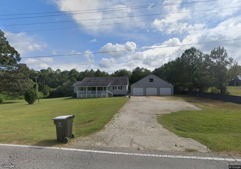
75 Beaverpond Rd Carrollton, GA 30117
Estimated Value: $237,810 - $291,000
3
Beds
1
Bath
1,338
Sq Ft
$204/Sq Ft
Est. Value
About This Home
This home is located at 75 Beaverpond Rd, Carrollton, GA 30117 and is currently estimated at $272,453, approximately $203 per square foot. 75 Beaverpond Rd is a home located in Carroll County with nearby schools including Mt. Zion Elementary School, Mt. Zion Middle School, and Mt. Zion High School.
Ownership History
Date
Name
Owned For
Owner Type
Purchase Details
Closed on
Jun 6, 2007
Sold by
Driver Bobby J
Bought by
Browning Dennis Franklin
Current Estimated Value
Purchase Details
Closed on
Apr 29, 1999
Sold by
Driver Patricia
Bought by
Driver Bobby J
Purchase Details
Closed on
Feb 11, 1999
Sold by
Browning Dennis Franklin and Browning Mar
Bought by
Browning Dennis Franklin and Browning Margie
Create a Home Valuation Report for This Property
The Home Valuation Report is an in-depth analysis detailing your home's value as well as a comparison with similar homes in the area
Home Values in the Area
Average Home Value in this Area
Purchase History
| Date | Buyer | Sale Price | Title Company |
|---|---|---|---|
| Browning Dennis Franklin | $13,118 | -- | |
| Driver Bobby J | -- | -- | |
| Browning Dennis Franklin | -- | -- |
Source: Public Records
Tax History Compared to Growth
Tax History
| Year | Tax Paid | Tax Assessment Tax Assessment Total Assessment is a certain percentage of the fair market value that is determined by local assessors to be the total taxable value of land and additions on the property. | Land | Improvement |
|---|---|---|---|---|
| 2024 | $1,783 | $78,835 | $6,344 | $72,491 |
| 2023 | $1,783 | $72,656 | $5,076 | $67,580 |
| 2022 | $1,447 | $57,678 | $3,384 | $54,294 |
| 2021 | $1,317 | $51,378 | $2,707 | $48,671 |
| 2020 | $1,127 | $43,889 | $2,461 | $41,428 |
| 2019 | $1,068 | $41,270 | $2,461 | $38,809 |
| 2018 | $1,013 | $38,570 | $2,300 | $36,270 |
| 2017 | $1,016 | $38,570 | $2,300 | $36,270 |
| 2016 | $1,016 | $38,570 | $2,300 | $36,270 |
| 2015 | $724 | $25,873 | $3,206 | $22,668 |
| 2014 | $727 | $25,873 | $3,206 | $22,668 |
Source: Public Records
Map
Nearby Homes
- 2994 Mount Zion Rd
- 2994 Mount Zion Rd Unit 1
- 2994 Mount Zion Rd Unit 3
- 85 Eureka Church Rd Unit 152
- 1202 Mount Zion Rd
- 33 Armstrong Dr
- 30 Joshua Way
- 10 Joshua Way
- 46 Gammon Rd
- 304 Kodiak Rd
- 113 Natures Pointe Trail
- 778 Harrison Rd
- 113 Richmond Dr
- 190 Marvin Gray Rd
- 266 Lambert Overlook Cir
- The Thomas 2 Plan at Lambert Overlook
- The Thomas Plan at Lambert Overlook
- The Brook Plan at Lambert Overlook
- 206 Randall Dr
- 0 Wynn Rd
- 81 Beaverpond Rd
- 36 Beaverpond Rd
- 76 Beaverpond Rd
- 17 Tiffany Ln
- 0 Tiffany Ln
- 2949 Mount Zion Rd
- 3011 Mount Zion Rd
- 2963 Mount Zion Rd
- 117 Beaverpond Rd
- 115 Beaverpond Rd
- 121 Beaverpond Rd
- 3035 Mount Zion Rd
- 0 Beaverpond Rd Unit LOT 4 10055741
- 0 Beaverpond Rd Unit 7060161
- 0 Beaverpond Rd Unit 7337174
- 0 Beaverpond Rd Unit 3225561
- 0 Beaverpond Rd Unit 8990327
- 0 Beaverpond Rd Unit 8315528
- 0 Beaverpond Rd Unit 8896301
- 0 Beaverpond Rd Unit 8832676