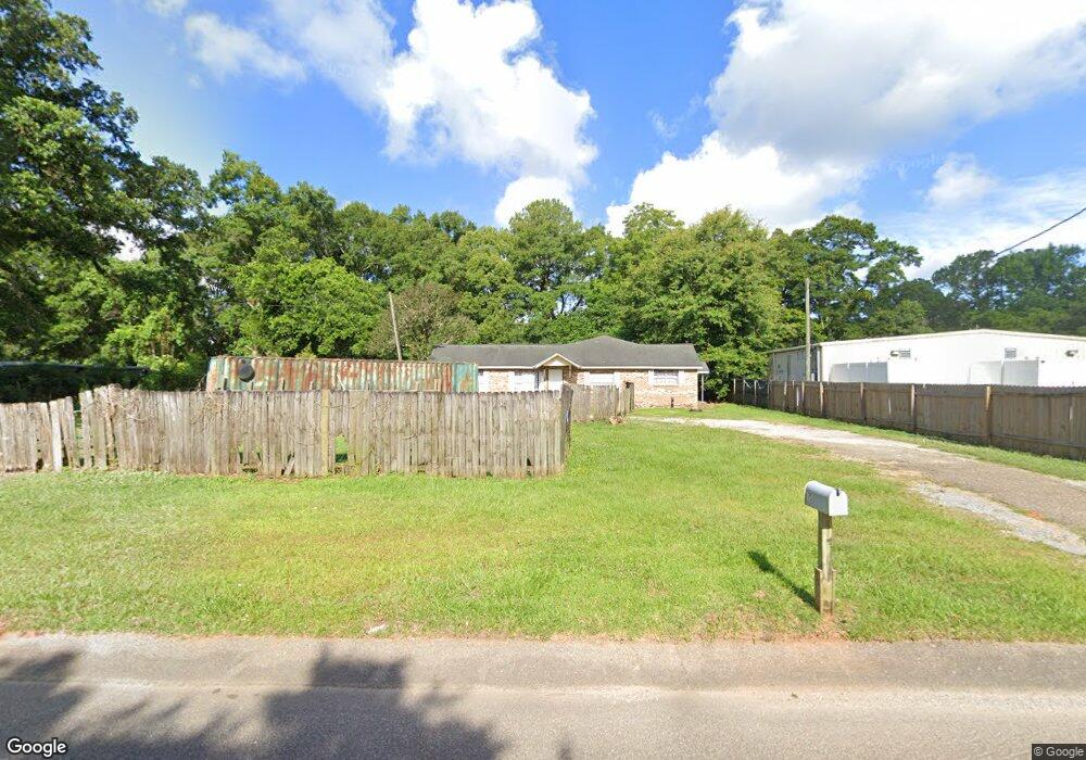
75 Border Cir E Mobile, AL 36608
Estimated Value: $80,000 - $105,000
Studio
1
Bath
1,385
Sq Ft
$70/Sq Ft
Est. Value
About This Home
This home is located at 75 Border Cir E, Mobile, AL 36608 and is currently estimated at $96,823, approximately $69 per square foot. 75 Border Cir E is a home located in Mobile County with nearby schools including Taylor White Elementary School, Bernice J Causey Middle School, and Baker High School.
Ownership History
Date
Name
Owned For
Owner Type
Purchase Details
Closed on
Oct 29, 2024
Sold by
E L Quinley Llc
Bought by
Chinchilla Ramos Gonzalo and Chinchilla Ramos Edgar
Current Estimated Value
Purchase Details
Closed on
Jun 10, 2003
Sold by
Mosley Muriel M and Lolley Shelia Marie
Bought by
E L Quinley Llc
Home Financials for this Owner
Home Financials are based on the most recent Mortgage that was taken out on this home.
Original Mortgage
$54,000
Interest Rate
6%
Mortgage Type
Seller Take Back
Create a Home Valuation Report for This Property
The Home Valuation Report is an in-depth analysis detailing your home's value as well as a comparison with similar homes in the area
Purchase History
| Date | Buyer | Sale Price | Title Company |
|---|---|---|---|
| Chinchilla Ramos Gonzalo | $79,000 | None Listed On Document | |
| E L Quinley Llc | $60,000 | -- |
Source: Public Records
Mortgage History
| Date | Status | Borrower | Loan Amount |
|---|---|---|---|
| Previous Owner | E L Quinley Llc | $54,000 |
Source: Public Records
Tax History
| Year | Tax Paid | Tax Assessment Tax Assessment Total Assessment is a certain percentage of the fair market value that is determined by local assessors to be the total taxable value of land and additions on the property. | Land | Improvement |
|---|---|---|---|---|
| 2025 | $664 | $13,700 | $3,200 | $10,500 |
| 2024 | $664 | $12,900 | $3,200 | $9,700 |
| 2023 | $620 | $12,780 | $2,800 | $9,980 |
| 2022 | $620 | $12,780 | $2,800 | $9,980 |
| 2021 | $620 | $12,780 | $2,800 | $9,980 |
| 2020 | $620 | $12,780 | $2,800 | $9,980 |
| 2019 | $596 | $12,280 | $2,800 | $9,480 |
| 2018 | $684 | $14,100 | $0 | $0 |
| 2017 | $680 | $14,020 | $0 | $0 |
| 2016 | $701 | $14,460 | $0 | $0 |
| 2013 | $843 | $16,980 | $0 | $0 |
Source: Public Records
Map
Nearby Homes
- 230 Portside Cir W
- 0 1st St Unit 7617566
- 0 1st St Unit 7651445
- 22 Stonebridge Ct
- 12 Stonebridge Ct
- 15 Stonebridge Ct
- 390 Lakeview Dr W
- 0 5th St Unit 9/47-48-49 385342
- 363 Park Ave S
- 404 Lakeview Dr W
- 22 Breydon Ct
- 422 Cody Rd S
- 29 Cobblestone Way W
- 0 Monk Ave Unit 633514
- 0 Avenue E
- 7767 Old Shell Rd
- 7650 Avenue C
- 250 Spring Lake Dr N
- 464 Claude Harris Dr
- 664 Spring Lake Dr W
- 65 Border Cir E
- 85 Border Cir E
- 70 Center St
- 82 Border Cir E
- 60 Center St
- 72 Border Cir E
- 80 Center St
- 92 Border Cir E
- 7350 Dickens Ferry
- 7350 Dickens Ferry Rd N
- 7350 Dickens Ferry Rd
- 73 Holly St S
- 7340 Border Cir N
- 83 Holly St S
- 63 Holly St S
- 81 Center St
- 93 Holly St S
- 91 Center St
- 53 Holly St S
- 7300 Cedar St
Your Personal Tour Guide
Ask me questions while you tour the home.