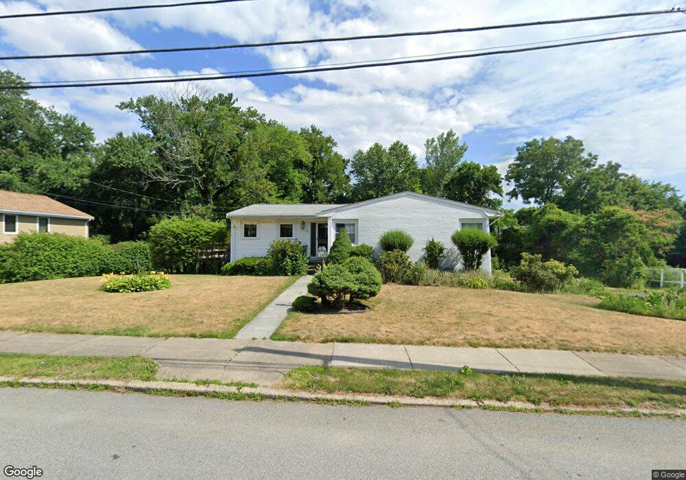
75 Bound Brook Rd Newton Highlands, MA 02461
Newton Highlands NeighborhoodEstimated Value: $1,192,000 - $1,350,000
3
Beds
2
Baths
1,485
Sq Ft
$877/Sq Ft
Est. Value
About This Home
This home is located at 75 Bound Brook Rd, Newton Highlands, MA 02461 and is currently estimated at $1,302,011, approximately $876 per square foot. 75 Bound Brook Rd is a home located in Middlesex County with nearby schools including Countryside Elementary School, Charles E Brown Middle School, and Newton South High School.
Ownership History
Date
Name
Owned For
Owner Type
Purchase Details
Closed on
Sep 28, 2006
Sold by
Bloom Robert N and Bloom Sheila R
Bought by
Bloom Robert N
Current Estimated Value
Purchase Details
Closed on
Aug 16, 1993
Sold by
Smoller Rosalind J
Bought by
Bloom Robert N and Bloom Sheila R
Home Financials for this Owner
Home Financials are based on the most recent Mortgage that was taken out on this home.
Original Mortgage
$75,000
Interest Rate
7.16%
Mortgage Type
Purchase Money Mortgage
Create a Home Valuation Report for This Property
The Home Valuation Report is an in-depth analysis detailing your home's value as well as a comparison with similar homes in the area
Home Values in the Area
Average Home Value in this Area
Purchase History
| Date | Buyer | Sale Price | Title Company |
|---|---|---|---|
| Bloom Robert N | -- | -- | |
| Bloom Robert N | $290,000 | -- |
Source: Public Records
Mortgage History
| Date | Status | Borrower | Loan Amount |
|---|---|---|---|
| Open | Bloom Robert N | $410,000 | |
| Closed | Bloom Robert N | $417,000 | |
| Closed | Bloom Robert N | $416,500 | |
| Previous Owner | Bloom Robert N | $75,000 |
Source: Public Records
Tax History Compared to Growth
Tax History
| Year | Tax Paid | Tax Assessment Tax Assessment Total Assessment is a certain percentage of the fair market value that is determined by local assessors to be the total taxable value of land and additions on the property. | Land | Improvement |
|---|---|---|---|---|
| 2025 | $10,842 | $1,106,300 | $0 | $0 |
| 2024 | $10,483 | $0 | $0 | $0 |
| 2023 | $9,181 | $901,900 | $820,700 | $81,200 |
| 2022 | $8,785 | $835,100 | $759,900 | $75,200 |
| 2021 | $8,477 | $787,800 | $716,900 | $70,900 |
| 2020 | $8,225 | $787,800 | $716,900 | $70,900 |
| 2019 | $7,993 | $764,900 | $696,000 | $68,900 |
| 2018 | $7,520 | $695,000 | $614,700 | $80,300 |
| 2017 | $7,291 | $655,700 | $579,900 | $75,800 |
| 2016 | $6,974 | $612,800 | $542,000 | $70,800 |
| 2015 | $6,649 | $572,700 | $506,500 | $66,200 |
Source: Public Records
Map
Nearby Homes
- 116 Upland Ave
- 36 Cannon St
- 250 Woodcliff Rd
- 51 Carl St
- 15 Buff Cir
- 1308 Walnut St
- 1292 Walnut St
- 128 Charlemont St
- 36 Roland St
- 415 Dedham St Unit D
- 125 Oakdale Rd
- 19 Selwyn Rd
- 3 Glenmore Terrace Unit 2
- 1629 Centre St
- 1623-1625 Centre St
- 671 Boylston St
- 1597 Centre St Unit 1597
- 1597 Centre St
- 1151 Walnut St Unit 205
- 1151 Walnut St Unit 405
- 83 Bound Brook Rd
- 63 Bound Brook Rd
- 71 Andrew St
- 75 Andrew St
- 105 Dane Hill Rd
- 91 Bound Brook Rd
- 82 Bound Brook Rd
- 55 Bound Brook Rd
- 106 Dane Hill Rd
- 83 Andrew St
- 65 Andrew St
- 88 Bound Brook Rd
- 97 Bound Brook Rd
- 18 Heatherland Rd
- 111 Dane Hill Rd
- 28 Heatherland Rd
- 98 Bound Brook Rd
- 54 Bound Brook Rd
- 22 Heatherland Rd
- 114 Dane Hill Rd