75 Brayton Point Rd Westport, MA 02790
Acoaxet NeighborhoodEstimated Value: $1,959,000 - $2,551,000
4
Beds
--
Bath
2,968
Sq Ft
$735/Sq Ft
Est. Value
About This Home
This home is located at 75 Brayton Point Rd, Westport, MA 02790 and is currently estimated at $2,180,038, approximately $734 per square foot. 75 Brayton Point Rd is a home located in Bristol County with nearby schools including Alice A. Macomber Primary School, Westport Elementary School, and Westport Middle-High School.
Ownership History
Date
Name
Owned For
Owner Type
Purchase Details
Closed on
Mar 23, 2021
Sold by
Patterson Alicia T
Bought by
T2021 A T Patterson
Current Estimated Value
Purchase Details
Closed on
Jul 23, 2020
Sold by
Pyl T
Bought by
Law Carrie R
Create a Home Valuation Report for This Property
The Home Valuation Report is an in-depth analysis detailing your home's value as well as a comparison with similar homes in the area
Home Values in the Area
Average Home Value in this Area
Purchase History
| Date | Buyer | Sale Price | Title Company |
|---|---|---|---|
| T2021 A T Patterson | -- | None Available | |
| Law Carrie R | -- | None Available | |
| Patterson Alicia T | -- | None Available |
Source: Public Records
Tax History Compared to Growth
Tax History
| Year | Tax Paid | Tax Assessment Tax Assessment Total Assessment is a certain percentage of the fair market value that is determined by local assessors to be the total taxable value of land and additions on the property. | Land | Improvement |
|---|---|---|---|---|
| 2025 | $13,899 | $1,865,600 | $1,316,800 | $548,800 |
| 2024 | $13,204 | $1,708,200 | $1,225,200 | $483,000 |
| 2023 | $13,334 | $1,634,100 | $1,170,200 | $463,900 |
| 2022 | $12,816 | $1,511,300 | $1,170,200 | $341,100 |
| 2021 | $14,351 | $1,664,900 | $1,184,000 | $480,900 |
| 2020 | $13,698 | $1,624,900 | $1,144,000 | $480,900 |
| 2019 | $13,145 | $1,589,500 | $1,144,000 | $445,500 |
| 2018 | $7,705 | $943,100 | $486,300 | $456,800 |
| 2017 | $7,507 | $941,900 | $486,300 | $455,600 |
| 2016 | $7,188 | $908,700 | $486,300 | $422,400 |
| 2015 | $7,170 | $904,100 | $495,500 | $408,600 |
Source: Public Records
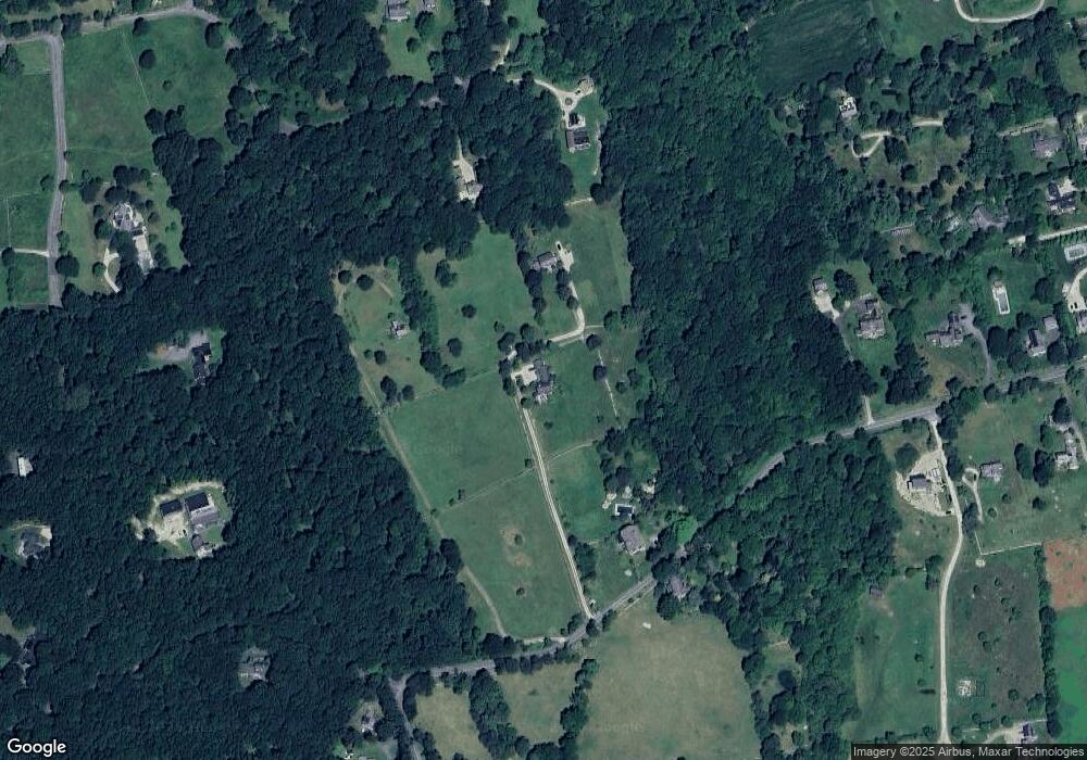
Map
Nearby Homes
- 189 Brayton Point Rd
- 19 Seabury Ln
- 304 Brayton Point Rd
- 255 John Dyer Rd
- 18 Old Barn Rd
- 128 Maple Ave
- 245 John Dyer Rd
- 505 Long Hwy
- 1749 Main Rd
- 1881 Main Rd
- 1580 Main Rd
- 141 S Of Commons Rd
- 0 Reed Rd (Ss)
- 0 Willow Ave
- 1702J Drift Rd
- 17 Quail Trail
- 1346 Main Rd Unit B
- 116 Amy Hart Path
- 1702 Drift Rd
- 83 Long Hwy
- 75 1/2 Brayton Point Rd
- 73 Brayton Point Rd
- 70 Brayton Point Rd
- 34 Whistler Point Rd
- 31 Brayton Point Rd
- 25 Brayton Point Rd
- 1 Bent Oak Run
- 8 Widgeon Ln
- 113 Brayton Point Rd
- 2 Butterfly Ln
- 33 Whistler Point Rd
- 27 Whistler Point Rd
- 19 Brayton Point Rd
- 0 Butterfly Ln
- 117 Brayton Point Rd
- 24 Widgeon Ln
- 1 Butterfly Ln
- 115 Howland Rd
- 127 Brayton Point Rd
- 127 Brayton Point Rd