75 Brookfield Rd Seymour, CT 06483
Estimated Value: $668,246 - $724,000
4
Beds
3
Baths
3,034
Sq Ft
$228/Sq Ft
Est. Value
About This Home
This home is located at 75 Brookfield Rd, Seymour, CT 06483 and is currently estimated at $690,312, approximately $227 per square foot. 75 Brookfield Rd is a home located in New Haven County with nearby schools including Bungay Elementary School, Seymour Middle School, and Seymour High School.
Ownership History
Date
Name
Owned For
Owner Type
Purchase Details
Closed on
May 9, 2003
Sold by
Vincenzi Inc
Bought by
Moon Keon and Moon Kamok
Current Estimated Value
Home Financials for this Owner
Home Financials are based on the most recent Mortgage that was taken out on this home.
Original Mortgage
$322,700
Outstanding Balance
$141,681
Interest Rate
5.93%
Mortgage Type
Purchase Money Mortgage
Estimated Equity
$548,631
Create a Home Valuation Report for This Property
The Home Valuation Report is an in-depth analysis detailing your home's value as well as a comparison with similar homes in the area
Home Values in the Area
Average Home Value in this Area
Purchase History
| Date | Buyer | Sale Price | Title Company |
|---|---|---|---|
| Moon Keon | $431,900 | -- | |
| Moon Keon | $431,900 | -- |
Source: Public Records
Mortgage History
| Date | Status | Borrower | Loan Amount |
|---|---|---|---|
| Open | Moon Keon | $322,700 | |
| Closed | Moon Keon | $322,700 |
Source: Public Records
Tax History Compared to Growth
Tax History
| Year | Tax Paid | Tax Assessment Tax Assessment Total Assessment is a certain percentage of the fair market value that is determined by local assessors to be the total taxable value of land and additions on the property. | Land | Improvement |
|---|---|---|---|---|
| 2025 | $12,133 | $437,710 | $68,040 | $369,670 |
| 2024 | $10,578 | $287,140 | $60,480 | $226,660 |
| 2023 | $10,331 | $287,140 | $60,480 | $226,660 |
| 2022 | $10,219 | $287,140 | $60,480 | $226,660 |
| 2021 | $9,967 | $287,140 | $60,480 | $226,660 |
| 2020 | $10,317 | $286,580 | $71,260 | $215,320 |
| 2019 | $10,317 | $286,580 | $71,260 | $215,320 |
| 2018 | $10,317 | $286,580 | $71,260 | $215,320 |
| 2017 | $10,317 | $286,580 | $71,260 | $215,320 |
| 2016 | $10,317 | $286,580 | $71,260 | $215,320 |
| 2015 | $10,429 | $301,490 | $75,040 | $226,450 |
| 2014 | $10,263 | $301,490 | $75,040 | $226,450 |
Source: Public Records
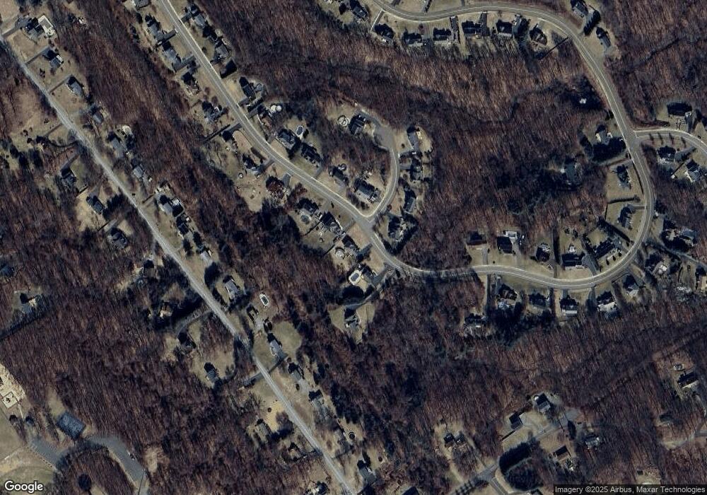
Map
Nearby Homes
- 77 Brookfield Rd
- 73 Brookfield Rd
- 79 Brookfield Rd
- 79 Brookfield Rd
- 68 Brookfield Rd
- 71 Brookfield Rd
- 72 Brookfield Rd
- 74 Brookfield Rd
- 4 Dahlia Ln
- 83 Brookfield Rd
- 55 Davis Rd
- 57 Davis Rd
- 76 Brookfield Rd
- 53 Davis Rd
- 6 Dahlia Ln
- 59 Davis Rd
- 5 Dahlia Ln
- 5 Dahlia Ln Unit 2
- 5 Dahlia Ln Unit 5
- 60 Brookfield Rd