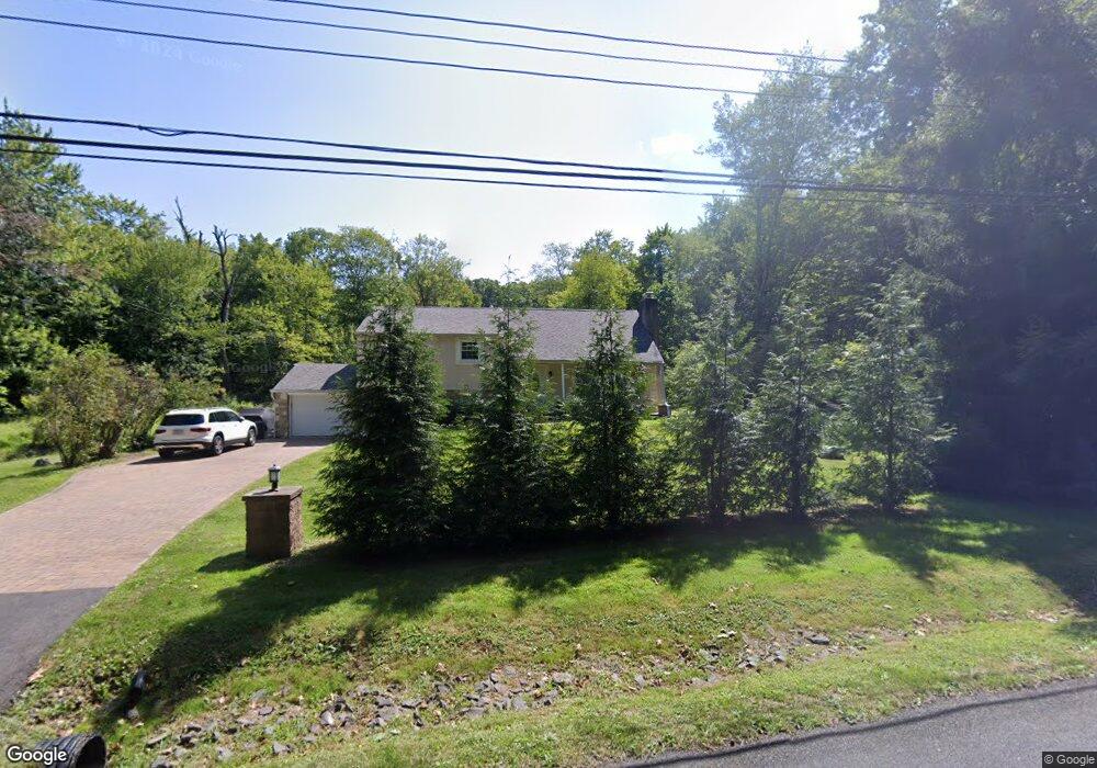
75 Brownsburg Rd Newtown, PA 18940
Estimated Value: $552,000 - $823,000
3
Beds
2
Baths
1,614
Sq Ft
$421/Sq Ft
Est. Value
About This Home
This home is located at 75 Brownsburg Rd, Newtown, PA 18940 and is currently estimated at $679,425, approximately $420 per square foot. 75 Brownsburg Rd is a home located in Bucks County with nearby schools including Wrightstown Elementary School, Newtown Middle School, and Council Rock High School North.
Ownership History
Date
Name
Owned For
Owner Type
Purchase Details
Closed on
Sep 30, 2005
Sold by
Rigby Leonard J
Bought by
Marelia Ernest
Current Estimated Value
Home Financials for this Owner
Home Financials are based on the most recent Mortgage that was taken out on this home.
Original Mortgage
$307,120
Interest Rate
6%
Mortgage Type
Fannie Mae Freddie Mac
Create a Home Valuation Report for This Property
The Home Valuation Report is an in-depth analysis detailing your home's value as well as a comparison with similar homes in the area
Home Values in the Area
Average Home Value in this Area
Purchase History
| Date | Buyer | Sale Price | Title Company |
|---|---|---|---|
| Marelia Ernest | $383,900 | None Available |
Source: Public Records
Mortgage History
| Date | Status | Borrower | Loan Amount |
|---|---|---|---|
| Previous Owner | Marelia Ernest | $307,120 |
Source: Public Records
Tax History Compared to Growth
Tax History
| Year | Tax Paid | Tax Assessment Tax Assessment Total Assessment is a certain percentage of the fair market value that is determined by local assessors to be the total taxable value of land and additions on the property. | Land | Improvement |
|---|---|---|---|---|
| 2025 | $5,284 | $29,920 | $12,080 | $17,840 |
| 2024 | $5,284 | $29,920 | $12,080 | $17,840 |
| 2023 | $5,061 | $29,920 | $12,080 | $17,840 |
| 2022 | $5,011 | $29,920 | $12,080 | $17,840 |
| 2021 | $4,934 | $29,920 | $12,080 | $17,840 |
| 2020 | $4,817 | $29,920 | $12,080 | $17,840 |
| 2019 | $4,706 | $29,920 | $12,080 | $17,840 |
| 2018 | $4,619 | $29,920 | $12,080 | $17,840 |
| 2017 | $4,437 | $29,920 | $12,080 | $17,840 |
| 2016 | -- | $29,920 | $12,080 | $17,840 |
| 2015 | -- | $29,920 | $12,080 | $17,840 |
| 2014 | -- | $29,920 | $12,080 | $17,840 |
Source: Public Records
Map
Nearby Homes
- 632 Durham Rd
- 309 Matthews Ln
- 313 Matthews Ln
- 2535 Second Street Pike
- 40 Hallowell Dr
- 288 Jane Chapman Dr E Unit E
- 925 Park Ave
- 101 Laurel Cir
- 0 Augusta Dr Unit LANEY
- 0 Augusta Dr Unit RAINTREE
- 0 Augusta Dr Unit KINGSWOOD
- 0 Augusta Dr Unit MAYWEATHER
- 0 Augusta Dr Unit ROLLINS
- 0 Augusta Dr Unit CLOVERFIELD
- 401 Society Place Unit A1
- Rollins Plan at Lyondale Meadows
- Laney Plan at Lyondale Meadows
- Kingswood Plan at Lyondale Meadows
- Raintree Plan at Lyondale Meadows
- Mayweather Plan at Lyondale Meadows
- 41 Brownsburg Rd
- 54 Brownsburg Rd
- 103 Brownsburg Rd
- 622 Durham Rd
- 640 Durham Rd
- 27 Brownsburg Rd
- 0 Wrenwood Way
- 24 Brownsburg Rd
- 124 Jane Chapman Dr
- 15 Wrenwood Way
- 00 Wrenwood Way
- 140 Brownsburg Rd
- 12 Wrenwood Way
- 23 Wrenwood Way
- 42 Lark Ln
- 120 Jane Chapman Dr
- 608 Durham Rd
- 27 Wrenwood Way
- 30 Wrenwood Way
- 122 Brownsburg Rd