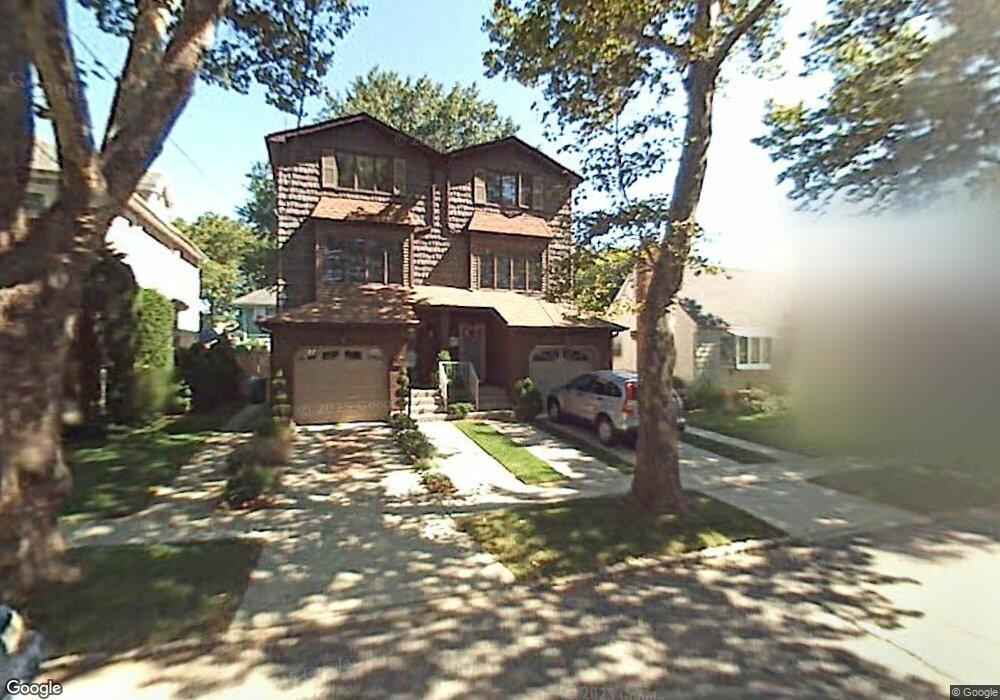
75 Bryant Ave Staten Island, NY 10306
New Dorp NeighborhoodEstimated Value: $831,671 - $1,039,000
3
Beds
3
Baths
2,276
Sq Ft
$417/Sq Ft
Est. Value
About This Home
This home is located at 75 Bryant Ave, Staten Island, NY 10306 and is currently estimated at $950,168, approximately $417 per square foot. 75 Bryant Ave is a home located in Richmond County with nearby schools including P.S. 41 The Stephanie a Vierno School, Is 2 George L Egbert, and New Dorp High School.
Ownership History
Date
Name
Owned For
Owner Type
Purchase Details
Closed on
Jan 15, 2002
Sold by
Salta Wald Michael and Salta Wald Mary
Bought by
Lombardi Janet F
Current Estimated Value
Home Financials for this Owner
Home Financials are based on the most recent Mortgage that was taken out on this home.
Original Mortgage
$323,100
Outstanding Balance
$131,658
Interest Rate
7%
Estimated Equity
$818,510
Create a Home Valuation Report for This Property
The Home Valuation Report is an in-depth analysis detailing your home's value as well as a comparison with similar homes in the area
Home Values in the Area
Average Home Value in this Area
Purchase History
| Date | Buyer | Sale Price | Title Company |
|---|---|---|---|
| Lombardi Janet F | $359,000 | Chicago Title Insurance Co |
Source: Public Records
Mortgage History
| Date | Status | Borrower | Loan Amount |
|---|---|---|---|
| Open | Lombardi Janet F | $323,100 |
Source: Public Records
Tax History Compared to Growth
Tax History
| Year | Tax Paid | Tax Assessment Tax Assessment Total Assessment is a certain percentage of the fair market value that is determined by local assessors to be the total taxable value of land and additions on the property. | Land | Improvement |
|---|---|---|---|---|
| 2025 | $7,008 | $47,520 | $6,707 | $40,813 |
| 2024 | $7,020 | $39,360 | $8,021 | $31,339 |
| 2023 | $6,669 | $34,237 | $7,421 | $26,816 |
| 2022 | $6,258 | $39,660 | $8,700 | $30,960 |
| 2021 | $6,206 | $37,680 | $8,700 | $28,980 |
| 2020 | $6,166 | $40,920 | $8,700 | $32,220 |
| 2019 | $4,768 | $35,580 | $8,700 | $26,880 |
| 2018 | $4,355 | $28,531 | $7,441 | $21,090 |
| 2017 | $5,270 | $27,321 | $7,752 | $19,569 |
| 2016 | $4,843 | $25,776 | $7,065 | $18,711 |
| 2015 | $4,532 | $25,440 | $7,260 | $18,180 |
| 2014 | $4,532 | $25,202 | $7,192 | $18,010 |
Source: Public Records
Map
Nearby Homes
- 84 Bryant Ave
- 24 Bancroft Ave
- 32 Otis Ave
- 77 Burbank Ave
- 86 Fremont Ave
- 155 Burbank Ave
- 164 Burbank Ave
- 2136 Richmond Rd
- 142 Fremont Ave
- 41 Lincoln Ave
- 25 Lincoln Ave
- 79 Cloister Place
- 2390 Richmond Rd
- 78 Cloister Place
- 109 Saint Stephens Place
- 75 Jacques Ave
- 1197 Todt Hill Rd
- 217 Bancroft Ave
- 47 Lisbon Place
- 240 Otis Ave
- 73 Bryant Ave
- 81 Bryant Ave
- 65 Bryant Ave
- 85 Bryant Ave Unit 2
- 85 Bryant Ave
- 74 Bancroft Ave
- 66 Bancroft Ave
- 63 Bryant Ave
- 76 Bancroft Ave
- 64 Bancroft Ave
- 91 Bryant Ave
- 57 Bryant Ave
- 76 Bryant Ave
- 1235 N Railroad Ave
- 64 Bryant Ave
- 56 Bancroft Ave
- 60 Bryant Ave
- 90 Bancroft Ave
- 102 Kruser St
- 1261 N Railroad Ave