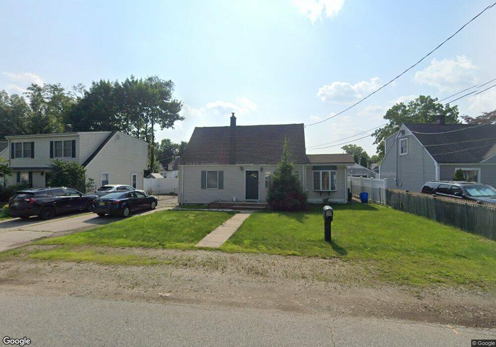
75 Burnside Place Haskell, NJ 07420
Estimated Value: $504,612
--
Bed
--
Bath
1,444
Sq Ft
$349/Sq Ft
Est. Value
About This Home
This home is located at 75 Burnside Place, Haskell, NJ 07420 and is currently estimated at $504,612, approximately $349 per square foot. 75 Burnside Place is a home located in Passaic County with nearby schools including Lakeland Reg High School and St Marys School.
Ownership History
Date
Name
Owned For
Owner Type
Purchase Details
Closed on
Mar 30, 2004
Sold by
Cappelo James
Bought by
Collins James and Collins Karen
Current Estimated Value
Home Financials for this Owner
Home Financials are based on the most recent Mortgage that was taken out on this home.
Original Mortgage
$207,919
Outstanding Balance
$97,434
Interest Rate
5.6%
Estimated Equity
$407,178
Purchase Details
Closed on
Jun 29, 2001
Sold by
Rabel Patricia
Bought by
Capello James
Home Financials for this Owner
Home Financials are based on the most recent Mortgage that was taken out on this home.
Original Mortgage
$138,000
Interest Rate
7.18%
Purchase Details
Closed on
Apr 22, 1998
Sold by
Paska Richard S
Bought by
Remik Patricia L
Home Financials for this Owner
Home Financials are based on the most recent Mortgage that was taken out on this home.
Original Mortgage
$130,050
Interest Rate
7.04%
Create a Home Valuation Report for This Property
The Home Valuation Report is an in-depth analysis detailing your home's value as well as a comparison with similar homes in the area
Home Values in the Area
Average Home Value in this Area
Purchase History
| Date | Buyer | Sale Price | Title Company |
|---|---|---|---|
| Collins James | $259,900 | -- | |
| Capello James | $180,000 | -- | |
| Capello James | $180,000 | -- | |
| Remik Patricia L | $127,500 | -- |
Source: Public Records
Mortgage History
| Date | Status | Borrower | Loan Amount |
|---|---|---|---|
| Open | Collins James | $207,919 | |
| Previous Owner | Capello James | $138,000 | |
| Previous Owner | Remik Patricia L | $130,050 |
Source: Public Records
Tax History Compared to Growth
Tax History
| Year | Tax Paid | Tax Assessment Tax Assessment Total Assessment is a certain percentage of the fair market value that is determined by local assessors to be the total taxable value of land and additions on the property. | Land | Improvement |
|---|---|---|---|---|
| 2025 | -- | $190,500 | $100,600 | $89,900 |
| 2024 | -- | $190,500 | $100,600 | $89,900 |
| 2022 | -- | $190,500 | $100,600 | $89,900 |
| 2021 | $0 | $190,500 | $100,600 | $89,900 |
| 2020 | $0 | $190,500 | $100,600 | $89,900 |
| 2019 | $7,046 | $190,500 | $100,600 | $89,900 |
| 2018 | $6,299 | $190,500 | $100,600 | $89,900 |
| 2017 | $7,125 | $190,500 | $100,600 | $89,900 |
| 2016 | $6,699 | $190,500 | $100,600 | $89,900 |
| 2015 | $6,600 | $190,500 | $100,600 | $89,900 |
| 2014 | $6,465 | $190,500 | $100,600 | $89,900 |
Source: Public Records
Map
Nearby Homes
- 35 Smith Ave
- 25 Bergen Ave
- 90 Burnside Place
- 40 Burnside Place
- 5 Storms Place
- 17 Locust St
- 19 Dogwood Ln Unit 19
- 19 Dogwood Ln Unit U9F
- 6 Elston Ct
- 28 Elston Ct
- 43 Elston Ct Unit 301
- 9116 Warrens Way Unit 116
- 9116 Warrens Way
- 9312 Warrens Way
- 10316 Warrens Way
- 8406 Warrens Way
- 8317 Warrens Way
- 8415 Warrens Way
- 21 Bartholdi Ave
- 73 Burnside Place
- 77 Burnside Place
- 71 Burnside Place
- 34 Smith Ave
- 69 Burnside Place
- 76 Burnside Place
- 78 Burnside Place
- 72 Burnside Place
- 36 Smith Ave
- 30 Smith Ave
- 80 Burnside Place
- 70 Burnside Place
- 67 Burnside Place
- 85 Burnside Place
- 28 Smith Ave
- 82 Burnside Place
- 38 Smith Ave
- 68 Burnside Place
- 84 Burnside Place
- 65 Burnside Place