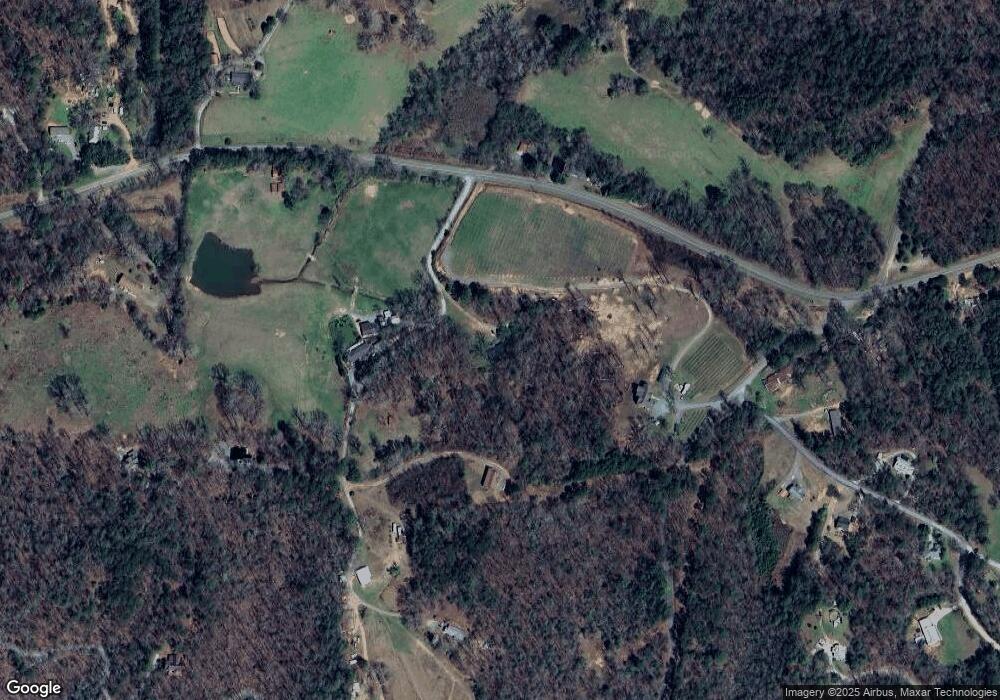
75 Cantrell Rd Ellijay, GA 30536
Estimated Value: $336,224 - $489,000
2
Beds
2
Baths
1,849
Sq Ft
$220/Sq Ft
Est. Value
About This Home
This home is located at 75 Cantrell Rd, Ellijay, GA 30536 and is currently estimated at $406,306, approximately $219 per square foot. 75 Cantrell Rd is a home located in Gilmer County with nearby schools including Ellijay Elementary School, Clear Creek Elementary School, and Clear Creek Middle School.
Ownership History
Date
Name
Owned For
Owner Type
Purchase Details
Closed on
Aug 24, 2011
Sold by
Wofford Paul Michael
Bought by
Wofford Terri
Current Estimated Value
Purchase Details
Closed on
May 19, 2005
Sold by
Lowman Philip
Bought by
Wofford Paul Michael
Home Financials for this Owner
Home Financials are based on the most recent Mortgage that was taken out on this home.
Original Mortgage
$140,250
Interest Rate
5.74%
Mortgage Type
New Conventional
Purchase Details
Closed on
Dec 9, 2003
Sold by
Lowman Philip
Bought by
Lowman Philip and Lowman Lisa
Purchase Details
Closed on
Aug 20, 2003
Sold by
Lowman Phillip and Lowman Lisa
Bought by
Lowman Philip
Create a Home Valuation Report for This Property
The Home Valuation Report is an in-depth analysis detailing your home's value as well as a comparison with similar homes in the area
Home Values in the Area
Average Home Value in this Area
Purchase History
| Date | Buyer | Sale Price | Title Company |
|---|---|---|---|
| Wofford Terri | -- | -- | |
| Wofford Paul Michael | $165,000 | -- | |
| Lowman Philip | -- | -- | |
| Lowman Philip | -- | -- |
Source: Public Records
Mortgage History
| Date | Status | Borrower | Loan Amount |
|---|---|---|---|
| Closed | Wofford Paul Michael | $140,250 |
Source: Public Records
Tax History Compared to Growth
Tax History
| Year | Tax Paid | Tax Assessment Tax Assessment Total Assessment is a certain percentage of the fair market value that is determined by local assessors to be the total taxable value of land and additions on the property. | Land | Improvement |
|---|---|---|---|---|
| 2025 | $1,573 | $103,132 | $17,520 | $85,612 |
| 2024 | $1,573 | $101,532 | $15,200 | $86,332 |
| 2023 | $1,571 | $98,252 | $11,920 | $86,332 |
| 2022 | $1,423 | $80,852 | $11,360 | $69,492 |
| 2021 | $1,256 | $63,292 | $9,960 | $53,332 |
| 2020 | $1,236 | $56,212 | $9,720 | $46,492 |
| 2019 | $1,273 | $56,212 | $9,720 | $46,492 |
| 2018 | $1,219 | $56,080 | $9,720 | $46,360 |
| 2017 | $1,256 | $52,920 | $9,720 | $43,200 |
| 2016 | $1,293 | $53,440 | $9,720 | $43,720 |
| 2015 | $1,087 | $46,000 | $9,080 | $36,920 |
| 2014 | $1,125 | $45,840 | $9,080 | $36,760 |
| 2013 | -- | $47,560 | $9,080 | $38,480 |
Source: Public Records
Map
Nearby Homes
- 100 Cartecay Cove Dr
- 446 Riverwood Rd
- LOT 6 Black Bear Ridge Rd
- 18 ACRES S Pineypur Rd S Unit TR 24
- LOT 6 Black Bear Ridge Rd Unit 6
- 1990 Big Creek Rd
- 48 Riverwood Trail
- 104 Mountain Creek Dr
- 104 Mountain Creek Dr Unit 19
- 0 Ragweed Ln
- 1614 Roy Rd
- 0 Bluffs of Cartecay Unit 418196
- LT 233 Stone Cliff Dr
- 0 Eastview Trail Unit 10505790
- 0 Eastview Trail Unit 7563117
- Lot 7 Joseph Anderson Trail
- LT 233 Stone Cliff Dr Unit 233
- 830 Turtle Ridge Rd
- 384 Mountain Laurel Dr Unit 14-15
- 384 Mountain Laurel Dr
- 98 River Hill Ln
- 73 Cantrell Rd
- 125 River Hill Ln
- 100 River Hill Rd
- 277 Cantrell Rd
- LT 5 Cartecay Crest
- 94 Cantrell Rd
- 4573 Big Creek Rd
- LT 7 Cartecay Crest
- 4567 Big Creek Rd
- 491 Goldmine Rd Unit 18
- 491 Goldmine Rd
- 4537 Big Creek Rd
- 4788 Big Creek Rd
- 54 Cartecay Cove Dr
- 14 Malus Dr
- 14 Malus Dr
- 355 Cantrell Rd
- 435 Goldmine Rd
- L14 Gold Mine Rd
