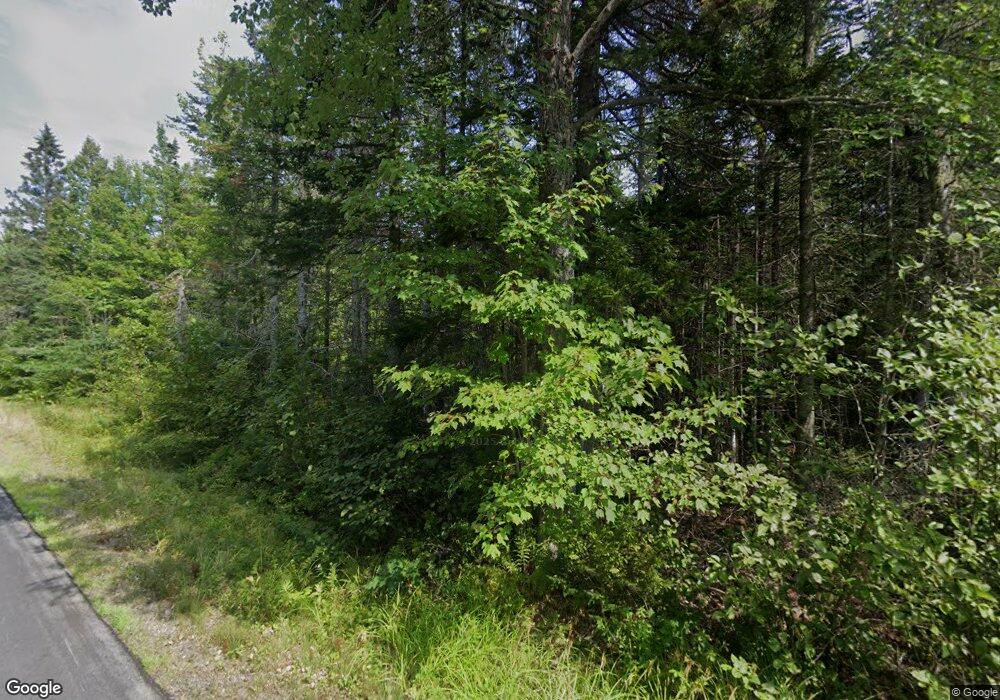
75 Clarkside Rd Pembroke, ME 04666
Estimated Value: $264,000 - $572,000
3
Beds
2
Baths
520
Sq Ft
$726/Sq Ft
Est. Value
About This Home
This home is located at 75 Clarkside Rd, Pembroke, ME 04666 and is currently estimated at $377,701, approximately $726 per square foot. 75 Clarkside Rd is a home with nearby schools including Pembroke Elementary School.
Ownership History
Date
Name
Owned For
Owner Type
Purchase Details
Closed on
May 2, 2025
Sold by
Ross Donald W and Ross Sheryl B
Bought by
Landrum Eustacia D
Current Estimated Value
Purchase Details
Closed on
Dec 10, 2008
Sold by
Brown Terri L
Bought by
Ross Donald W and Ross Sheryl B
Create a Home Valuation Report for This Property
The Home Valuation Report is an in-depth analysis detailing your home's value as well as a comparison with similar homes in the area
Purchase History
| Date | Buyer | Sale Price | Title Company |
|---|---|---|---|
| Landrum Eustacia D | -- | None Available | |
| Landrum Eustacia D | -- | None Available | |
| Landrum Eustacia D | -- | None Available | |
| Ross Donald W | -- | -- | |
| Ross Donald W | -- | -- |
Source: Public Records
Tax History
| Year | Tax Paid | Tax Assessment Tax Assessment Total Assessment is a certain percentage of the fair market value that is determined by local assessors to be the total taxable value of land and additions on the property. | Land | Improvement |
|---|---|---|---|---|
| 2024 | $4,006 | $168,300 | $27,000 | $141,300 |
| 2023 | $3,534 | $168,300 | $27,000 | $141,300 |
| 2022 | $3,602 | $168,300 | $27,000 | $141,300 |
| 2021 | $3,602 | $168,300 | $27,000 | $141,300 |
| 2020 | $3,753 | $168,300 | $27,000 | $141,300 |
| 2019 | $4,098 | $168,300 | $27,000 | $141,300 |
| 2018 | $4,098 | $168,300 | $27,000 | $141,300 |
| 2017 | $4,073 | $168,300 | $27,000 | $141,300 |
| 2016 | $3,815 | $168,800 | $27,500 | $141,300 |
| 2015 | $2,787 | $132,100 | $27,500 | $104,600 |
| 2014 | $2,642 | $132,100 | $27,500 | $104,600 |
| 2013 | $2,378 | $132,100 | $27,500 | $104,600 |
Source: Public Records
Map
Nearby Homes
- 448 Garnet Head Rd
- 434 Garnet Head Rd
- Lot 13 Red Rock Estates
- 150 Leach Point Rd
- L1-1,2,3,4 Birch Point Rd
- M10L1 U S Route 1
- 155 Coffins Neck Rd
- 252 Ox Cove Rd
- 346 Us Route 1
- Lot 48 Coffins Neck Rd
- 265 U S 1
- Lot 66 S River Rd
- 70 Bunker Hill Rd
- 130 Shipyard Rd
- 202 Ayers Junction Rd
- 12 Morgan Rd
- 135 Bunker Hill Rd
- 149 Old Eastport Rd
- 144 Harrison Rd
- M3L19 Cross Rd
- 677 Leighton Point Rd
- 721 Leighton Point Rd
- 30 Clarkside Rd
- 738 Leighton Point Rd
- 680 Leighton Point Rd
- 00 Leighton Point Rd
- 767 Leighton Point Rd
- 767 Leighton Point Rd
- 767 Leighton Point
- 736 Leighton Point Rd
- 750 Leighton Point Rd
- 789 Leighton Point Rd
- 591 Leighton Point Rd
- 636 Leighton Point Rd
- 0 Leighton Point Rd
- 810 Leighton Point Rd
- 560 Leighton Point Rd
- 515 Leighton Point Rd
- 40 Rays Ln
- 40 Rice Rd
Your Personal Tour Guide
Ask me questions while you tour the home.
