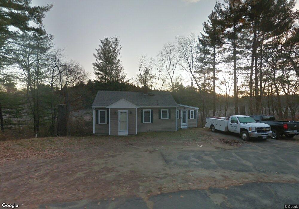
75 Concord Rd Wayland, MA 01778
Estimated Value: $633,000 - $745,007
2
Beds
2
Baths
808
Sq Ft
$868/Sq Ft
Est. Value
About This Home
This home is located at 75 Concord Rd, Wayland, MA 01778 and is currently estimated at $701,002, approximately $867 per square foot. 75 Concord Rd is a home located in Middlesex County with nearby schools including Wayland High School and Veritas Christian Academy.
Ownership History
Date
Name
Owned For
Owner Type
Purchase Details
Closed on
Feb 4, 2002
Sold by
Thomas Ralphin A and Thomas Beryl E
Bought by
Young Jonathan W P
Current Estimated Value
Home Financials for this Owner
Home Financials are based on the most recent Mortgage that was taken out on this home.
Original Mortgage
$200,000
Outstanding Balance
$83,223
Interest Rate
7.15%
Mortgage Type
Purchase Money Mortgage
Estimated Equity
$617,779
Purchase Details
Closed on
Oct 9, 1991
Sold by
Larry Lillian L and Briggs Gordon
Bought by
Thomas Ralphin and Thomas Beryl
Home Financials for this Owner
Home Financials are based on the most recent Mortgage that was taken out on this home.
Original Mortgage
$113,400
Interest Rate
9.07%
Mortgage Type
Purchase Money Mortgage
Create a Home Valuation Report for This Property
The Home Valuation Report is an in-depth analysis detailing your home's value as well as a comparison with similar homes in the area
Home Values in the Area
Average Home Value in this Area
Purchase History
| Date | Buyer | Sale Price | Title Company |
|---|---|---|---|
| Young Jonathan W P | $230,000 | -- | |
| Young Jonathan W P | $230,000 | -- | |
| Thomas Ralphin | $126,000 | -- |
Source: Public Records
Mortgage History
| Date | Status | Borrower | Loan Amount |
|---|---|---|---|
| Open | Young Jonathan W P | $200,000 | |
| Closed | Thomas Ralphin | $200,000 | |
| Previous Owner | Thomas Ralphin | $85,000 | |
| Previous Owner | Thomas Ralphin | $113,400 |
Source: Public Records
Tax History Compared to Growth
Tax History
| Year | Tax Paid | Tax Assessment Tax Assessment Total Assessment is a certain percentage of the fair market value that is determined by local assessors to be the total taxable value of land and additions on the property. | Land | Improvement |
|---|---|---|---|---|
| 2025 | $10,327 | $660,700 | $494,800 | $165,900 |
| 2024 | $9,770 | $629,500 | $471,400 | $158,100 |
| 2023 | $9,494 | $570,200 | $428,500 | $141,700 |
| 2022 | $8,601 | $468,700 | $354,700 | $114,000 |
| 2021 | $8,204 | $443,000 | $329,800 | $113,200 |
| 2020 | $7,868 | $443,000 | $329,800 | $113,200 |
| 2019 | $7,749 | $423,900 | $314,200 | $109,700 |
| 2018 | $7,351 | $407,700 | $314,200 | $93,500 |
| 2017 | $7,125 | $392,800 | $299,300 | $93,500 |
| 2016 | $6,709 | $386,900 | $293,400 | $93,500 |
| 2015 | $6,951 | $378,000 | $293,400 | $84,600 |
Source: Public Records
Map
Nearby Homes
- 17 Glezen Ln
- 9 River Rock Way Unit 9
- 17 Hastings Way Unit 17
- 15 Lewis Path
- 156 Boston Post Rd
- 31 White Rd
- 10 Hayward Rd
- 19 Old Connecticut Path
- 42 Westerly Rd
- 93 Old Sudbury Rd
- 1601 Wisteria Way
- 12 Astra
- 94 Goodmans Hill Rd
- 606 Wisteria Way
- 244 Lincoln Rd
- 180 Highland St
- 8 Fox Hollow
- 121 Cherry Brook Rd
- 24 Jericho Rd Unit 24
- 134 Chestnut Cir