75 Crossbow Ln North Andover, MA 01845
Estimated Value: $1,080,676 - $1,277,000
4
Beds
3
Baths
3,535
Sq Ft
$329/Sq Ft
Est. Value
About This Home
This home is located at 75 Crossbow Ln, North Andover, MA 01845 and is currently estimated at $1,164,169, approximately $329 per square foot. 75 Crossbow Ln is a home located in Essex County with nearby schools including Annie L Sargent Elementary School, North Andover Middle School, and North Andover High School.
Ownership History
Date
Name
Owned For
Owner Type
Purchase Details
Closed on
Mar 16, 2022
Sold by
Flanz Jacob B and Flanz Nancy D
Bought by
Flanz Ft
Current Estimated Value
Purchase Details
Closed on
Jul 29, 1988
Sold by
Perruccio Samuel M
Bought by
Flanz Jacob B
Create a Home Valuation Report for This Property
The Home Valuation Report is an in-depth analysis detailing your home's value as well as a comparison with similar homes in the area
Home Values in the Area
Average Home Value in this Area
Purchase History
| Date | Buyer | Sale Price | Title Company |
|---|---|---|---|
| Flanz Ft | -- | None Available | |
| Flanz Jacob B | $306,000 | -- |
Source: Public Records
Mortgage History
| Date | Status | Borrower | Loan Amount |
|---|---|---|---|
| Previous Owner | Flanz Jacob B | $225,000 | |
| Previous Owner | Flanz Jacob B | $225,000 |
Source: Public Records
Tax History
| Year | Tax Paid | Tax Assessment Tax Assessment Total Assessment is a certain percentage of the fair market value that is determined by local assessors to be the total taxable value of land and additions on the property. | Land | Improvement |
|---|---|---|---|---|
| 2025 | $10,878 | $966,100 | $415,100 | $551,000 |
| 2024 | $10,357 | $933,900 | $393,300 | $540,600 |
| 2023 | $9,955 | $813,300 | $332,200 | $481,100 |
| 2022 | $9,529 | $704,300 | $288,600 | $415,700 |
| 2021 | $9,152 | $645,900 | $262,500 | $383,400 |
| 2020 | $8,784 | $639,300 | $255,900 | $383,400 |
| 2019 | $8,573 | $639,300 | $255,900 | $383,400 |
| 2018 | $9,289 | $639,300 | $255,900 | $383,400 |
| 2017 | $8,834 | $618,600 | $225,200 | $393,400 |
| 2016 | $8,378 | $587,100 | $227,300 | $359,800 |
| 2015 | $8,371 | $581,700 | $213,900 | $367,800 |
Source: Public Records
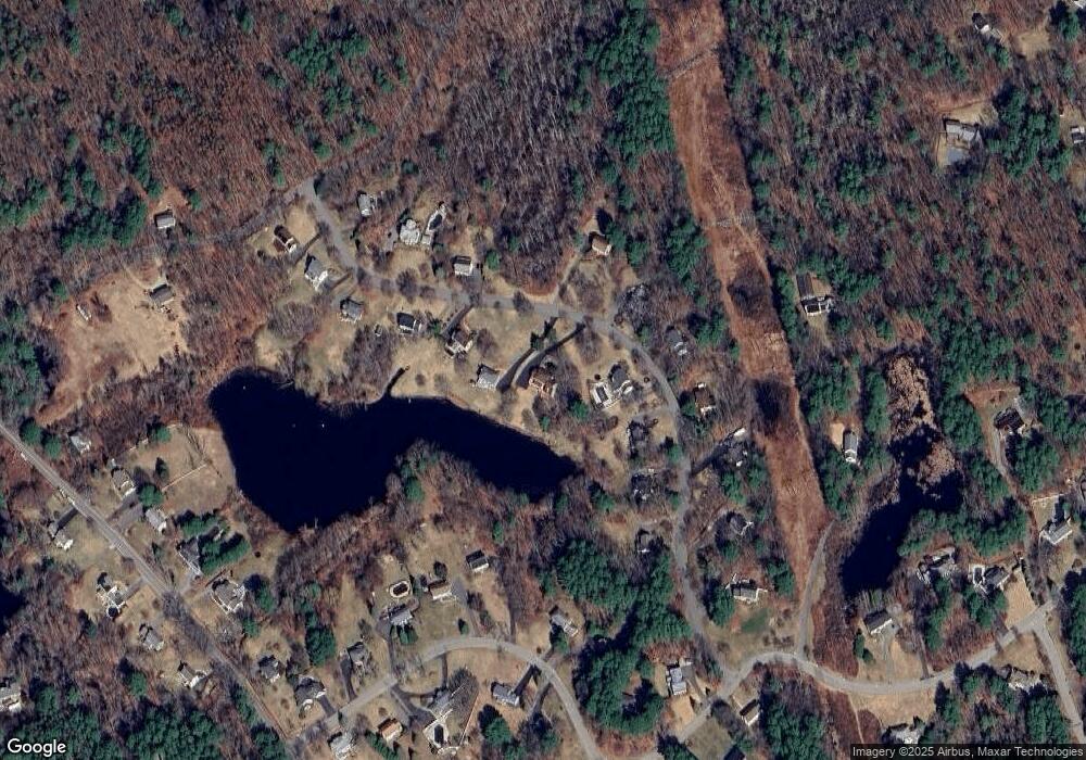
Map
Nearby Homes
- 626 Forest St
- 990 Forest St
- 49 Windsor Ln
- 66 Compass Point Unit 66
- 122 Forest St
- 65 Amberville Rd
- 1205 Harvest Dr Unit 205
- 224 Raleigh Tavern Ln
- 2 Harvest Dr Unit 308
- 2 Harvest Dr Unit 209
- 3 Harvest Dr Unit 303
- 38 Hepatica Dr Unit 36
- 906 Alder Way Unit 906
- 37 Sullivan St
- 94 Boxford St
- Lot 10 Stonecleave Rd
- 50 Boxford St
- 94 Lawrence Rd
- 17 Lavoie Ln
- Lot 2 (31) Lawrence Rd
- 63 Crossbow Ln
- 91 Crossbow Ln
- 49 Crossbow Ln
- 66 Crossbow Ln
- 90 Crossbow Ln
- 111 Crossbow Ln
- 42 Crossbow Ln
- 78 Crossbow Ln
- 41 Crossbow Ln
- 100 Crossbow Ln
- 52 Olympic Ln
- 52 Olympic Ln Unit 1
- 52 Olympic Ln
- 125 Crossbow Ln
- 24 Crossbow Ln
- 116 Crossbow Ln
- 116 Crossbow Ln Unit 1
- 29 Crossbow Ln
- 62 Olympic Ln
- 134 Crossbow Ln
Your Personal Tour Guide
Ask me questions while you tour the home.