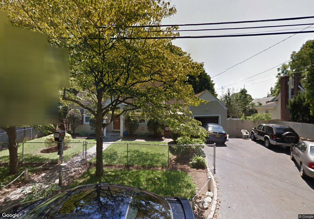
75 E 8th St Huntington Station, NY 11746
Estimated Value: $270,000 - $595,000
3
Beds
1
Bath
1,400
Sq Ft
$340/Sq Ft
Est. Value
About This Home
This home is located at 75 E 8th St, Huntington Station, NY 11746 and is currently estimated at $475,496, approximately $339 per square foot. 75 E 8th St is a home located in Suffolk County with nearby schools including Washington School, Woodhull Intermediate School, and J Taylor Finley Middle School.
Ownership History
Date
Name
Owned For
Owner Type
Purchase Details
Closed on
Jun 21, 2024
Sold by
Bonilia Jose
Bought by
Perez Carlos G
Current Estimated Value
Purchase Details
Closed on
Sep 11, 2018
Sold by
Residential Mortgage Loan
Bought by
Bonila Jose
Purchase Details
Closed on
Dec 6, 2017
Sold by
Suffolk County Of
Bought by
Residential Mortgage Loan
Purchase Details
Closed on
Apr 24, 1997
Sold by
Early Garrett
Bought by
Palms Gregory and Palms Tammi
Create a Home Valuation Report for This Property
The Home Valuation Report is an in-depth analysis detailing your home's value as well as a comparison with similar homes in the area
Home Values in the Area
Average Home Value in this Area
Purchase History
| Date | Buyer | Sale Price | Title Company |
|---|---|---|---|
| Perez Carlos G | $270,000 | Westcore Title | |
| Perez Carlos G | $270,000 | Westcore Title | |
| Bonila Jose | $252,000 | -- | |
| Residential Mortgage Loan | $434,977 | -- | |
| Residential Mortgage Loan | $434,977 | -- | |
| Residential Mortgage Loan | $434,977 | -- | |
| Palms Gregory | $102,000 | Chicago Title Insurance Co | |
| Palms Gregory | $102,000 | Chicago Title Insurance Co |
Source: Public Records
Tax History Compared to Growth
Tax History
| Year | Tax Paid | Tax Assessment Tax Assessment Total Assessment is a certain percentage of the fair market value that is determined by local assessors to be the total taxable value of land and additions on the property. | Land | Improvement |
|---|---|---|---|---|
| 2024 | $7,059 | $1,800 | $150 | $1,650 |
| 2023 | $3,529 | $1,800 | $150 | $1,650 |
| 2022 | $7,017 | $1,800 | $150 | $1,650 |
| 2021 | $6,949 | $1,800 | $150 | $1,650 |
| 2020 | $6,870 | $1,800 | $150 | $1,650 |
| 2019 | $13,740 | $0 | $0 | $0 |
| 2018 | $6,529 | $1,800 | $150 | $1,650 |
| 2017 | $6,529 | $1,800 | $150 | $1,650 |
| 2016 | $6,449 | $1,800 | $150 | $1,650 |
| 2015 | -- | $1,800 | $150 | $1,650 |
| 2014 | -- | $1,800 | $150 | $1,650 |
Source: Public Records
Map
Nearby Homes
- 107 E 9th St
- 95 E Pulaski Rd
- 1 Varney Ave
- 148 Lenox Rd
- 122 E 12th St
- 126 E 12th St
- 1 Timothy Ln
- 57 E Pulaski Rd
- 0 E 12th St
- 217 Broadway
- 2202 Townhome Way
- 26 E 12th St
- 71 Biltmore Cir
- 20 Pine Ave
- 42 Wyoming Dr
- 10 Colorado Place
- 54 E 14th St
- 280 Lowndes Ave Unit 208
- 280 Lowndes Ave Unit 305G
- 280 Lowndes Ave Unit 111G