Estimated Value: $213,000 - $279,000
3
Beds
1
Bath
1,587
Sq Ft
$151/Sq Ft
Est. Value
About This Home
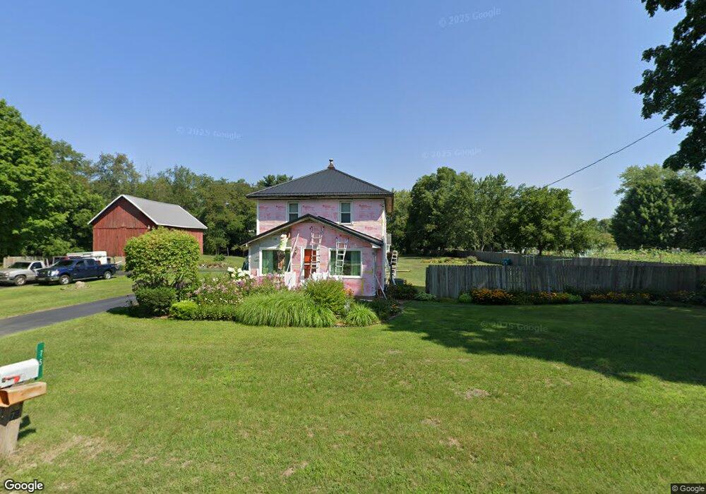
This home is located at 75 E Bertrand Rd, Niles, MI 49120 and is currently estimated at $239,238, approximately $150 per square foot. 75 E Bertrand Rd is a home located in Berrien County with nearby schools including Merritt Elementary School, Brandywine Elementary School, and Brandywine Middle School.
Ownership History
Date
Name
Owned For
Owner Type
Purchase Details
Closed on
Apr 16, 2008
Sold by
Young Catherine Ann and Simmons Denise Ann
Bought by
Richards Michael J and Richards Dawn A
Current Estimated Value
Home Financials for this Owner
Home Financials are based on the most recent Mortgage that was taken out on this home.
Original Mortgage
$108,000
Interest Rate
5.41%
Mortgage Type
Purchase Money Mortgage
Purchase Details
Closed on
Jul 2, 1992
Create a Home Valuation Report for This Property
The Home Valuation Report is an in-depth analysis detailing your home's value as well as a comparison with similar homes in the area
Home Values in the Area
Average Home Value in this Area
Purchase History
| Date | Buyer | Sale Price | Title Company |
|---|---|---|---|
| Richards Michael J | $13,000 | Meridian Title Corp | |
| -- | $67,000 | -- |
Source: Public Records
Mortgage History
| Date | Status | Borrower | Loan Amount |
|---|---|---|---|
| Closed | Richards Michael J | $108,000 |
Source: Public Records
Tax History
| Year | Tax Paid | Tax Assessment Tax Assessment Total Assessment is a certain percentage of the fair market value that is determined by local assessors to be the total taxable value of land and additions on the property. | Land | Improvement |
|---|---|---|---|---|
| 2025 | $1,976 | $104,100 | $0 | $0 |
| 2024 | $1,354 | $91,700 | $0 | $0 |
| 2023 | $1,290 | $81,700 | $0 | $0 |
| 2022 | $1,234 | $71,700 | $0 | $0 |
| 2021 | $1,668 | $65,100 | $13,100 | $52,000 |
| 2020 | $1,661 | $62,100 | $0 | $0 |
| 2019 | $1,631 | $57,200 | $13,100 | $44,100 |
| 2018 | $1,573 | $57,200 | $0 | $0 |
| 2017 | $1,560 | $55,400 | $0 | $0 |
| 2016 | $1,536 | $54,000 | $0 | $0 |
| 2015 | $1,478 | $54,800 | $0 | $0 |
| 2014 | $1,060 | $53,100 | $0 | $0 |
Source: Public Records
Map
Nearby Homes
- 2618 Bond St
- 2816 Madison St
- 242 Higgins St
- 2639 S 3rd St
- 317 E Bertrand Rd
- 321 E Bertrand Rd
- 1610 Whitetail Cir
- 1640 Forest St
- 1650 Whitetail Cir
- 1680 River Bend Blvd
- 1670 River Bend Blvd
- 2710 Weaver Rd
- 50615 Oakland Ave
- 2142 S 11 Th St
- 2325 Fair Oaks St E
- 2807 S 13th St
- 1355 Honeysuckle Ln
- 20162 Wedgewood Dr
- 2420 Floral Dr
- 2762 Sugarberry Ln Unit 84
- 80 E Bertrand Rd
- 60 E Bertrand Rd
- 2622 Adams Rd
- 107 E Bertrand Rd
- 2710 Adams Rd
- 15 E Bertrand Rd
- 2621 Adams Rd
- 2711 Wrenhaven Dr
- 108 Bertram Rd
- 111 E Bertrand Rd
- 2614 Adams Rd
- 2716 Adams Rd
- 2709 Adams Rd
- 2640 Thornacres Dr
- 101 Bertram Rd
- 113 E Bertrand Rd
- 50 Washington Ct
- 2622 Bond St
- 2704 Wrenhaven Dr
- 0 Bertrand Unit 69022039575
Your Personal Tour Guide
Ask me questions while you tour the home.