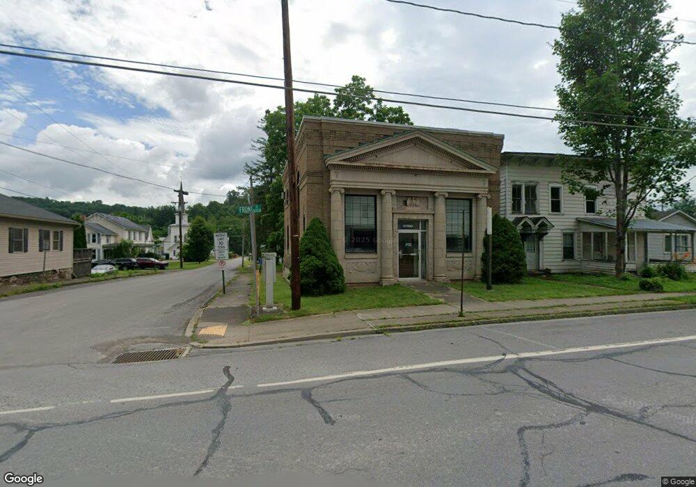
75 Front St New Albany, PA 18833
Estimated Value: $103,647
--
Bed
1
Bath
1,200
Sq Ft
$86/Sq Ft
Est. Value
About This Home
This home is located at 75 Front St, New Albany, PA 18833 and is currently estimated at $103,647, approximately $86 per square foot. 75 Front St is a home located in Bradford County with nearby schools including Wyalusing Valley Elementary School and Wyalusing Valley Junior/Senior High School.
Ownership History
Date
Name
Owned For
Owner Type
Purchase Details
Closed on
Jul 10, 2013
Sold by
Trembath Maryanna D and Trembath John A
Bought by
Brassington Robert L
Current Estimated Value
Purchase Details
Closed on
Mar 2, 2011
Sold by
75 Front Management Llc
Bought by
Trembath Maryanna D and Trembath John A
Purchase Details
Closed on
Feb 4, 2011
Sold by
75 Front Lp
Bought by
75 Front Management Llc
Purchase Details
Closed on
Jan 9, 2009
Sold by
Peoples State Bank Of Waylusing
Bought by
75 Front L P
Create a Home Valuation Report for This Property
The Home Valuation Report is an in-depth analysis detailing your home's value as well as a comparison with similar homes in the area
Home Values in the Area
Average Home Value in this Area
Purchase History
| Date | Buyer | Sale Price | Title Company |
|---|---|---|---|
| Brassington Robert L | $53,000 | None Available | |
| Trembath Maryanna D | -- | None Available | |
| 75 Front Management Llc | -- | None Available | |
| 75 Front L P | $49,000 | None Available |
Source: Public Records
Tax History Compared to Growth
Tax History
| Year | Tax Paid | Tax Assessment Tax Assessment Total Assessment is a certain percentage of the fair market value that is determined by local assessors to be the total taxable value of land and additions on the property. | Land | Improvement |
|---|---|---|---|---|
| 2025 | $2,153 | $27,850 | $0 | $0 |
| 2024 | $2,070 | $27,850 | $0 | $0 |
| 2023 | $2,070 | $27,850 | $0 | $0 |
| 2022 | $2,099 | $27,850 | $0 | $0 |
| 2021 | $2,023 | $27,850 | $0 | $0 |
| 2020 | $2,009 | $27,850 | $0 | $0 |
| 2019 | $2,002 | $27,850 | $0 | $0 |
| 2018 | $1,903 | $27,850 | $0 | $0 |
| 2017 | $1,817 | $27,850 | $0 | $0 |
| 2016 | -- | $27,850 | $0 | $0 |
| 2015 | -- | $27,850 | $0 | $0 |
| 2014 | $1,025 | $27,850 | $0 | $0 |
Source: Public Records
Map
Nearby Homes
- 11 Leesway Ln
- 3272 Pelton Hill Rd
- 0 Stevenson Hill Rd
- 7706 Route 220
- 1498 Gainer Hill Rd
- 0 Cummiskey Rd
- 486 Laurel Ln
- 189 Dog Farm Rd
- PARCEL 0017 Route 220 Hwy
- 115 Headley Ave
- 122 Headley Ave
- 152 Carpenter St
- 181 E Cherry St
- 167 Payne Run Ln
- 1998 Brocktown Rd
- 1146 Eagle Rock Rd
- 99 E Laurel St
- 1164 Rosenberry Hill Rd
- 49 Bear Run Ln
- 182 Brookside Dr