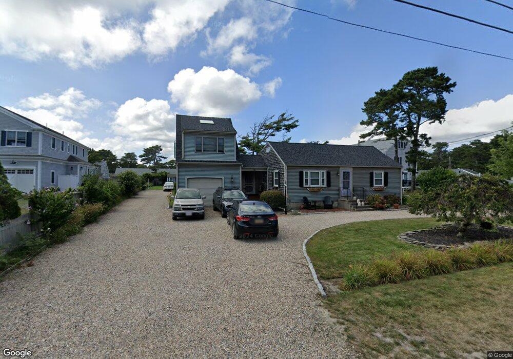
75 Glendon Rd Unit 75A Dennis Port, MA 02639
Dennis Port NeighborhoodEstimated Value: $470,000 - $893,000
3
Beds
2
Baths
1,360
Sq Ft
$547/Sq Ft
Est. Value
About This Home
This home is located at 75 Glendon Rd Unit 75A, Dennis Port, MA 02639 and is currently estimated at $744,565, approximately $547 per square foot. 75 Glendon Rd Unit 75A is a home located in Barnstable County with nearby schools including Dennis-Yarmouth Regional High School and St. Pius X. School.
Ownership History
Date
Name
Owned For
Owner Type
Purchase Details
Closed on
Sep 29, 2016
Sold by
Pellegri Ronald P and Pellegri Deborah L
Bought by
Pellegri Rt and Pellegri
Current Estimated Value
Purchase Details
Closed on
Oct 6, 1995
Sold by
Turinese Pamela M
Bought by
Pellegri Ronald P and Pellegri Deborah L
Create a Home Valuation Report for This Property
The Home Valuation Report is an in-depth analysis detailing your home's value as well as a comparison with similar homes in the area
Home Values in the Area
Average Home Value in this Area
Purchase History
| Date | Buyer | Sale Price | Title Company |
|---|---|---|---|
| Pellegri Rt | -- | -- | |
| Pellegri Rt | -- | -- | |
| Pellegri Rt | -- | -- | |
| Pellegri Ronald P | $123,000 | -- | |
| Pellegri Ronald P | $123,000 | -- |
Source: Public Records
Tax History
| Year | Tax Paid | Tax Assessment Tax Assessment Total Assessment is a certain percentage of the fair market value that is determined by local assessors to be the total taxable value of land and additions on the property. | Land | Improvement |
|---|---|---|---|---|
| 2025 | $3,104 | $716,800 | $0 | $716,800 |
| 2024 | $2,933 | $668,200 | $0 | $668,200 |
| 2023 | $2,561 | $548,400 | $0 | $548,400 |
| 2022 | $2,420 | $432,100 | $0 | $432,100 |
| 2021 | $2,375 | $393,800 | $0 | $393,800 |
| 2020 | $2,332 | $382,300 | $0 | $382,300 |
| 2019 | $2,271 | $368,000 | $0 | $368,000 |
| 2018 | $2,225 | $351,000 | $0 | $351,000 |
| 2017 | $2,159 | $351,000 | $0 | $351,000 |
| 2016 | $2,186 | $334,700 | $0 | $334,700 |
| 2015 | $2,142 | $334,700 | $0 | $334,700 |
| 2014 | $2,177 | $342,800 | $0 | $342,800 |
Source: Public Records
Map
Nearby Homes
- 183 Captain Chase Rd
- 56 Uncle Rolf Rd
- 154 Old Wharf Rd Unit 14
- 230 Old Wharf Rd Unit 272
- 230 Old Wharf Rd Unit 265
- 112 Old Wharf Rd Unit E4
- 241 Old Wharf Rd Unit 127
- 205 Lower County Rd Unit 8
- 262 Old Wharf Rd Unit 67
- 262 Old Wharf Rd Unit 5
- 262 Old Wharf Rd Unit 5
- 262 Old Wharf Rd Unit 87
- 37 Beach Hills Rd
- 38 Cranberry Ln
- 37-A Beach Hills Rd
- 27 Mayflower Ln
- 102 Lawrence Rd
- 22 Ferncliff Rd
- 59 Sea St
- 104 Toms Path
- 75 Glendon Rd
- 71 Glendon Rd
- 79 Glendon Rd
- 69 Glendon Rd
- 69 Glendon Rd Unit C
- 69 Glendon Rd Unit B
- 69-A Glendon Rd
- 69-B Glendon Rd
- 69A Glendon Rd
- 69B Glendon Rd
- 172 Captain Chase Rd Unit 3
- 172 Captain Chase Rd Unit 2
- 69C Glendon Rd
- 69-C Glendon Rd
- 168 Captain Chase Rd Unit 5
- 168 Captain Chase Rd Unit 3
- 168 Captain Chase Rd Unit 25
- 168 Captain Chase Rd Unit 15
- 168 Captain Chase Rd Unit 2
- 81 Glendon Rd
Your Personal Tour Guide
Ask me questions while you tour the home.