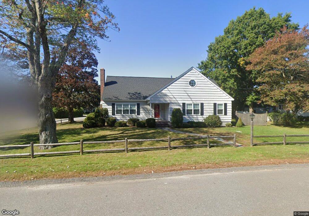
75 Greene St North Andover, MA 01845
Estimated Value: $831,974 - $930,000
4
Beds
2
Baths
2,886
Sq Ft
$307/Sq Ft
Est. Value
About This Home
This home is located at 75 Greene St, North Andover, MA 01845 and is currently estimated at $885,994, approximately $306 per square foot. 75 Greene St is a home located in Essex County with nearby schools including Atkinson Elementary School, North Andover Middle School, and North Andover High School.
Ownership History
Date
Name
Owned For
Owner Type
Purchase Details
Closed on
Nov 10, 2020
Sold by
Lafond Diane P and Lafond Peter J
Bought by
Peter J Lafond Lt
Current Estimated Value
Purchase Details
Closed on
May 21, 2019
Sold by
Lafond Rt
Bought by
Lafond Diane P and Lafond Peter J
Purchase Details
Closed on
Jul 30, 2013
Sold by
Lafond Peter J and Lafond Diane P
Bought by
Lafond Rt
Purchase Details
Closed on
Jul 16, 2013
Sold by
Lafond Rt
Bought by
Lafond Peter J and Lafond Diane P
Purchase Details
Closed on
Jun 30, 1989
Sold by
Joyce Fam Rt
Bought by
Lafond Peter J
Create a Home Valuation Report for This Property
The Home Valuation Report is an in-depth analysis detailing your home's value as well as a comparison with similar homes in the area
Home Values in the Area
Average Home Value in this Area
Purchase History
| Date | Buyer | Sale Price | Title Company |
|---|---|---|---|
| Peter J Lafond Lt | -- | None Available | |
| Lafond Diane P | -- | -- | |
| Lafond Rt | -- | -- | |
| Lafond Peter J | -- | -- | |
| Lafond Peter J | $222,500 | -- |
Source: Public Records
Mortgage History
| Date | Status | Borrower | Loan Amount |
|---|---|---|---|
| Previous Owner | Lafond Peter J | $245,000 | |
| Previous Owner | Lafond Peter J | $244,000 | |
| Previous Owner | Lafond Peter J | $25,000 |
Source: Public Records
Tax History Compared to Growth
Tax History
| Year | Tax Paid | Tax Assessment Tax Assessment Total Assessment is a certain percentage of the fair market value that is determined by local assessors to be the total taxable value of land and additions on the property. | Land | Improvement |
|---|---|---|---|---|
| 2025 | $8,031 | $713,200 | $342,900 | $370,300 |
| 2024 | $7,838 | $706,800 | $324,800 | $382,000 |
| 2023 | $7,372 | $602,300 | $274,300 | $328,000 |
| 2022 | $7,306 | $540,000 | $249,000 | $291,000 |
| 2021 | $7,320 | $516,600 | $225,600 | $291,000 |
| 2020 | $6,401 | $465,900 | $225,600 | $240,300 |
| 2019 | $6,248 | $465,900 | $225,600 | $240,300 |
| 2018 | $6,770 | $465,900 | $225,600 | $240,300 |
| 2017 | $5,472 | $383,200 | $187,300 | $195,900 |
| 2016 | $5,465 | $383,000 | $186,100 | $196,900 |
| 2015 | $5,306 | $368,700 | $179,600 | $189,100 |
Source: Public Records
Map
Nearby Homes
- 11 W Bradstreet Rd
- 168 Greene St
- 387 Massachusetts Ave
- 33 Herrick Rd
- 64 2nd St
- 19 Fernview Ave Unit 6
- 19 Fernview Ave Unit 5
- 35 Fernview Ave Unit 5
- 90 Edgelawn Ave Unit 1
- 25 Fernview Ave Unit 8
- 23 Fernview Ave Unit 1
- 16 Court St
- 52 Fernview Ave Unit 7
- 75 Edgelawn Ave Unit 1
- 40 Fernview Ave Unit 11
- 127 Marblehead St Unit A
- 148 Main St Unit A508
- 148 Main St Unit C538
- 148 Main St Unit A307
- 12 Walker Rd Unit 6
- 65 Greene St
- 5 W Woodbridge Rd
- 76 Greene St
- 64 Greene St
- 18 W Woodbridge Rd
- 10 Woodbridge Rd
- 88 Greene St
- 9 Bradstreet Rd
- 27 Tyler Rd
- 95 Greene St
- 34 Tyler Rd
- 34 W Woodbridge Rd
- 24 W Bradstreet Rd
- 21 W Bradstreet Rd
- 49 Greene St
- 11 Woodbridge Rd
- 33 W Woodbridge Rd
- 15 Bradstreet Rd
- 98 Greene St
- 24 Tyler Rd