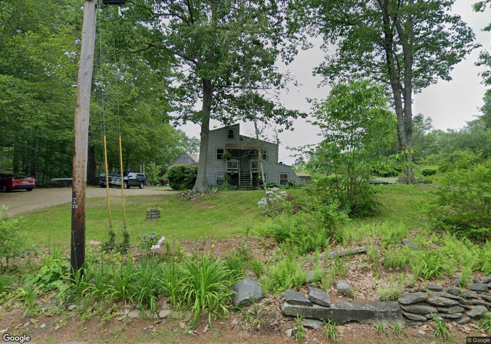
75 Hemlock St Leicester, MA 01524
Estimated Value: $411,000 - $484,360
3
Beds
2
Baths
1,296
Sq Ft
$345/Sq Ft
Est. Value
About This Home
This home is located at 75 Hemlock St, Leicester, MA 01524 and is currently estimated at $447,680, approximately $345 per square foot. 75 Hemlock St is a home located in Worcester County with nearby schools including Leicester Integrated Preschool, Leicester Memorial Elementary School, and Leicester Middle School.
Ownership History
Date
Name
Owned For
Owner Type
Purchase Details
Closed on
Jan 21, 2009
Sold by
Anderson Russell J
Bought by
Anderson Wilkins Lt and Wilkins
Current Estimated Value
Purchase Details
Closed on
Nov 25, 2002
Sold by
Stakun Joseph J and Stakun Angela A
Bought by
Anderson Russell J
Create a Home Valuation Report for This Property
The Home Valuation Report is an in-depth analysis detailing your home's value as well as a comparison with similar homes in the area
Home Values in the Area
Average Home Value in this Area
Purchase History
| Date | Buyer | Sale Price | Title Company |
|---|---|---|---|
| Anderson Wilkins Lt | -- | -- | |
| Anderson Wilkins Lt | -- | -- | |
| Anderson Wilkins Lt | -- | -- | |
| Anderson Russell J | $15,000 | -- | |
| Anderson Russell J | $15,000 | -- |
Source: Public Records
Tax History Compared to Growth
Tax History
| Year | Tax Paid | Tax Assessment Tax Assessment Total Assessment is a certain percentage of the fair market value that is determined by local assessors to be the total taxable value of land and additions on the property. | Land | Improvement |
|---|---|---|---|---|
| 2025 | $44 | $374,406 | $100,506 | $273,900 |
| 2024 | $4,220 | $336,237 | $88,637 | $247,600 |
| 2023 | $4,043 | $314,352 | $89,052 | $225,300 |
| 2022 | $3,941 | $281,717 | $85,817 | $195,900 |
| 2021 | $4,198 | $277,445 | $83,845 | $193,600 |
| 2020 | $3,652 | $244,945 | $80,045 | $164,900 |
| 2019 | $3,477 | $230,545 | $73,445 | $157,100 |
| 2018 | $3,399 | $211,230 | $73,030 | $138,200 |
| 2017 | $3,241 | $209,353 | $72,753 | $136,600 |
| 2016 | $3,040 | $204,011 | $86,911 | $117,100 |
| 2015 | $3,024 | $207,949 | $90,849 | $117,100 |
Source: Public Records
Map
Nearby Homes
- 6 Mccann Place
- 350 Marshall St
- 390 Marshall St
- 2 Laurel Ln
- Lot A Paxton St
- Lot B Paxton St
- 56 Lake Sargent Dr
- 5 Ledge Ave
- 130 Paxton Rd
- 1472 Main St
- 1326 Main St
- 61 Suomi St
- 267 Pleasant St
- 6 Cutler Rd
- 309 Pleasant St
- 17 Crowningshield Dr
- 80 Rawson St
- 0 S Main St Unit 73392435
- Lot 2 Main St
- 47 Paxton Rd