75 Hollis St Unit A Pepperell, MA 01463
Estimated Value: $679,000 - $831,000
6
Beds
4
Baths
2,987
Sq Ft
$251/Sq Ft
Est. Value
About This Home
This home is located at 75 Hollis St Unit A, Pepperell, MA 01463 and is currently estimated at $749,800, approximately $251 per square foot. 75 Hollis St Unit A is a home located in Middlesex County with nearby schools including North Middlesex Regional High School, Pepperell Christian Academy, and Maple Dene & Moppet School.
Ownership History
Date
Name
Owned For
Owner Type
Purchase Details
Closed on
Oct 25, 2002
Sold by
Hanson Allen W and Hanson Christine M
Bought by
Wilson Paul E R and Wilson Patricia A
Current Estimated Value
Home Financials for this Owner
Home Financials are based on the most recent Mortgage that was taken out on this home.
Original Mortgage
$252,000
Outstanding Balance
$106,949
Interest Rate
6.2%
Mortgage Type
Purchase Money Mortgage
Estimated Equity
$642,852
Purchase Details
Closed on
May 1, 1987
Sold by
C Y Rlty Corp
Bought by
Foskitt Kathy M
Home Financials for this Owner
Home Financials are based on the most recent Mortgage that was taken out on this home.
Original Mortgage
$153,000
Interest Rate
8.99%
Mortgage Type
Purchase Money Mortgage
Create a Home Valuation Report for This Property
The Home Valuation Report is an in-depth analysis detailing your home's value as well as a comparison with similar homes in the area
Home Values in the Area
Average Home Value in this Area
Purchase History
| Date | Buyer | Sale Price | Title Company |
|---|---|---|---|
| Wilson Paul E R | $315,000 | -- | |
| Foskitt Kathy M | $184,900 | -- |
Source: Public Records
Mortgage History
| Date | Status | Borrower | Loan Amount |
|---|---|---|---|
| Open | Wilson Paul E R | $252,000 | |
| Previous Owner | Foskitt Kathy M | $145,000 | |
| Previous Owner | Foskitt Kathy M | $154,000 | |
| Previous Owner | Foskitt Kathy M | $153,000 |
Source: Public Records
Tax History Compared to Growth
Tax History
| Year | Tax Paid | Tax Assessment Tax Assessment Total Assessment is a certain percentage of the fair market value that is determined by local assessors to be the total taxable value of land and additions on the property. | Land | Improvement |
|---|---|---|---|---|
| 2025 | $9,186 | $627,900 | $195,900 | $432,000 |
| 2024 | $8,468 | $590,100 | $179,800 | $410,300 |
| 2023 | $7,759 | $512,500 | $141,800 | $370,700 |
| 2022 | $7,966 | $464,500 | $128,700 | $335,800 |
| 2021 | $7,775 | $433,900 | $113,500 | $320,400 |
| 2020 | $7,388 | $435,100 | $113,500 | $321,600 |
| 2019 | $6,684 | $402,900 | $113,500 | $289,400 |
| 2018 | $6,371 | $388,700 | $113,500 | $275,200 |
| 2017 | $6,165 | $388,000 | $113,500 | $274,500 |
| 2016 | $6,055 | $366,300 | $113,500 | $252,800 |
| 2015 | $5,964 | $373,900 | $121,100 | $252,800 |
| 2014 | $5,775 | $364,100 | $113,500 | $250,600 |
Source: Public Records
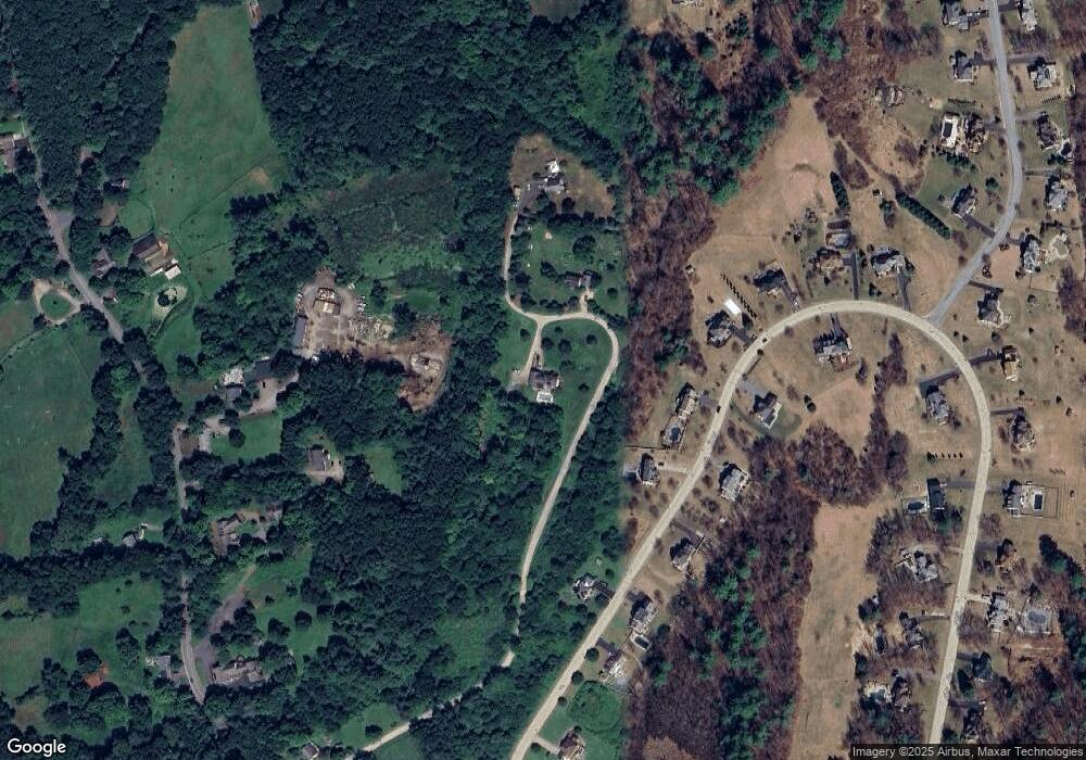
Map
Nearby Homes
- 80A Nashua Rd
- 102A Nashua Rd
- 8 Tucker Park Unit D
- 2 Old Farm Ln
- 10 Tucker St
- 16 Village Rd
- 28-30 Groton St
- 55 Park St
- 11 Shawnee Rd
- 23 Shawnee Rd Unit 23
- 38 Tarbell St Unit 5B
- 9 Tarbell St
- 24-A 34-A Dow St
- 139 Nashua Rd
- 147 Nashua Rd
- 13 Oak Hill St
- 46 Lowell Rd
- 31 Prospect St
- 5 June St
- 170 Nashua Rd