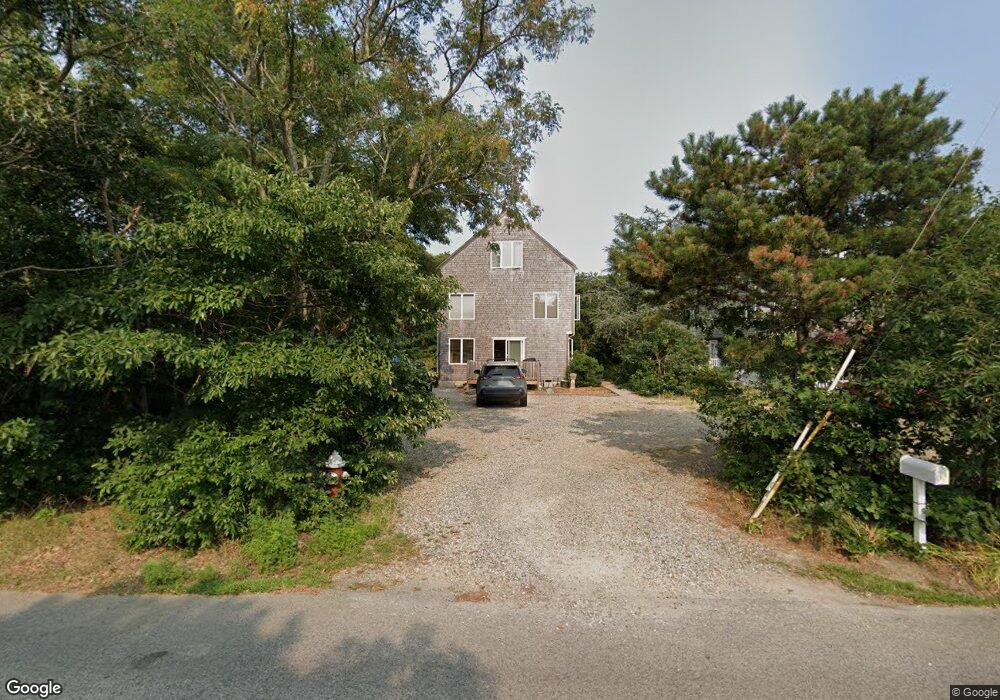
75 Howland St Unit 1B Provincetown, MA 02657
Estimated Value: $1,083,000 - $1,276,000
3
Beds
3
Baths
1,400
Sq Ft
$822/Sq Ft
Est. Value
About This Home
This home is located at 75 Howland St Unit 1B, Provincetown, MA 02657 and is currently estimated at $1,150,279, approximately $821 per square foot. 75 Howland St Unit 1B is a home located in Barnstable County with nearby schools including Provincetown Schools.
Ownership History
Date
Name
Owned For
Owner Type
Purchase Details
Closed on
Jun 17, 2021
Sold by
Mccarthy Melinda S
Bought by
75 Howland Street Llc
Current Estimated Value
Purchase Details
Closed on
Dec 23, 2019
Sold by
Kathleen Collins Ret and Collins
Bought by
Mccarthy Melinda S
Home Financials for this Owner
Home Financials are based on the most recent Mortgage that was taken out on this home.
Original Mortgage
$425,000
Interest Rate
3.7%
Mortgage Type
New Conventional
Purchase Details
Closed on
May 8, 2013
Sold by
Collins Kathleen
Bought by
Kathleen Collins Ret and Collins
Create a Home Valuation Report for This Property
The Home Valuation Report is an in-depth analysis detailing your home's value as well as a comparison with similar homes in the area
Home Values in the Area
Average Home Value in this Area
Purchase History
| Date | Buyer | Sale Price | Title Company |
|---|---|---|---|
| 75 Howland Street Llc | $850,000 | None Available | |
| 75 Howland Street Llc | $850,000 | None Available | |
| Mccarthy Melinda S | $475,000 | None Available | |
| Mccarthy Melinda S | $475,000 | None Available | |
| Kathleen Collins Ret | -- | -- | |
| Kathleen Collins Ret | -- | -- |
Source: Public Records
Mortgage History
| Date | Status | Borrower | Loan Amount |
|---|---|---|---|
| Previous Owner | Mccarthy Melinda S | $425,000 |
Source: Public Records
Tax History Compared to Growth
Tax History
| Year | Tax Paid | Tax Assessment Tax Assessment Total Assessment is a certain percentage of the fair market value that is determined by local assessors to be the total taxable value of land and additions on the property. | Land | Improvement |
|---|---|---|---|---|
| 2025 | $4,738 | $846,000 | $0 | $846,000 |
| 2024 | $4,457 | $798,800 | $0 | $798,800 |
| 2023 | $4,736 | $791,900 | $0 | $791,900 |
| 2022 | $3,086 | $463,300 | $0 | $463,300 |
| 2021 | $3,053 | $431,200 | $0 | $431,200 |
| 2020 | $3,850 | $581,500 | $0 | $581,500 |
| 2019 | $3,875 | $548,800 | $0 | $548,800 |
| 2018 | $3,592 | $482,200 | $0 | $482,200 |
| 2017 | $3,424 | $444,100 | $0 | $444,100 |
| 2016 | $3,386 | $434,100 | $0 | $434,100 |
| 2015 | $3,052 | $413,500 | $0 | $413,500 |
Source: Public Records
Map
Nearby Homes
- 86 Harry Kemp Way Unit 2
- 46 Harry Kemp Way Unit 2
- 6 Daggett Ln
- 512 Commercial St
- 184 Bradford St Unit 1
- 501 Commercial St Unit 17
- 521 Commercial St Unit 2
- 16 Off Conwell St
- 495 Commercial St Unit 6
- 495 Commercial St Unit 9
- 495 Commercial St Unit 11
- 452 Commercial St Unit 3
- 37 Pearl St
- 5 Kiley Ct Unit 2
- 535 Commercial St Unit 2
- 535 Commercial St Unit 2
- 539 Commercial St Unit 1
- 36 Pearl St Unit 2
- 36 Pearl St Unit 3
- 50 Nelson Ave Unit 6
- 75 Howland St Unit 1A
- 75 Howland St Unit U1B
- 73 Howland St Unit 2B
- 73 Howland St Unit 2A
- 69 Howland St Unit 3B
- 69 Howland St Unit 3A
- 69 Howland St Unit B
- 69 Howland St Unit U3B
- 65 Howland St Unit 4B
- 65 Howland St Unit 4A
- 65 Howland St Unit B
- 63R Howland St
- 94 Harry Kemp Way
- 446 Route 6
- 488 Rte 6
- 90 Harry Kemp Way
- 56 Howland St
- 53 Howland St
- 82 Harry Kemp Way
- 11 Oak Dr